
No caption
IMG_6799.JPG
Details
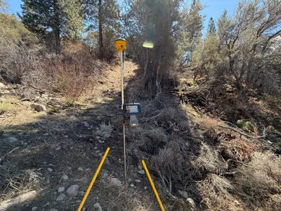
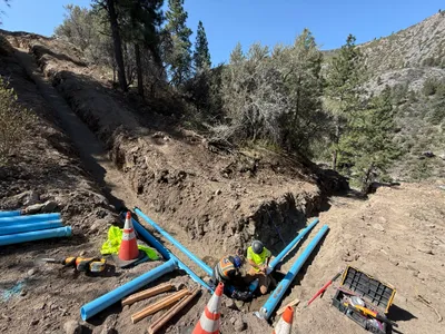
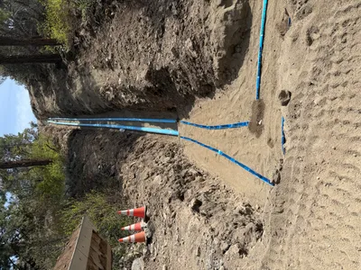
39.39199, -120.02166· 1660m
Location Context
1 / 5
USGS Topo
No elevation data
FEMA Flood
No flood data
OSM Infra
No address data
USDA Soil
No soil data
USGS Hydro
No hydro data
Show all EXIF (43 fields)
AI Analysis
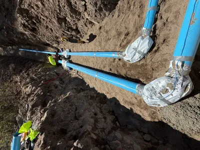
The image shows a surveying setup in a wooded area as part of the Floriston Filtration Project. A yellow GPS receiver is mounted on a tripod in the center of the image, with a connected data collector or controller attached. The surroundings include uneven, rocky terrain with sparse vegetation and trees. The scene indicates preparation or alignment activities related to waterline re-alignment.
Equipment & Materials
AI Tags
Analyzed Apr 21, 2026
Nearby Photos
1m
swppp erosion control
1m
trenching
1m
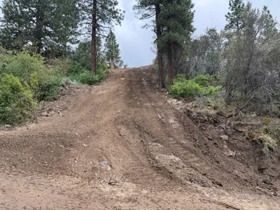
site grading
1m
trenching
2m
swppp erosion control
2m
trenching
2m
site grading
2m
pipeline installation
2m
pipeline installation
2m
site grading