No caption
IMG_2753.JPG
Details
39.39200, -120.02133· 1665m
Location Context
1 / 5
USGS Topo
No elevation data
FEMA Flood
No flood data
OSM Infra
No address data
USDA Soil
No soil data
USGS Hydro
No hydro data
Show all EXIF (43 fields)
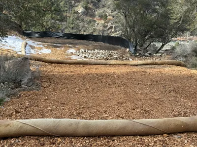
AI Analysis
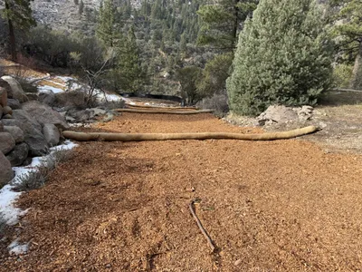
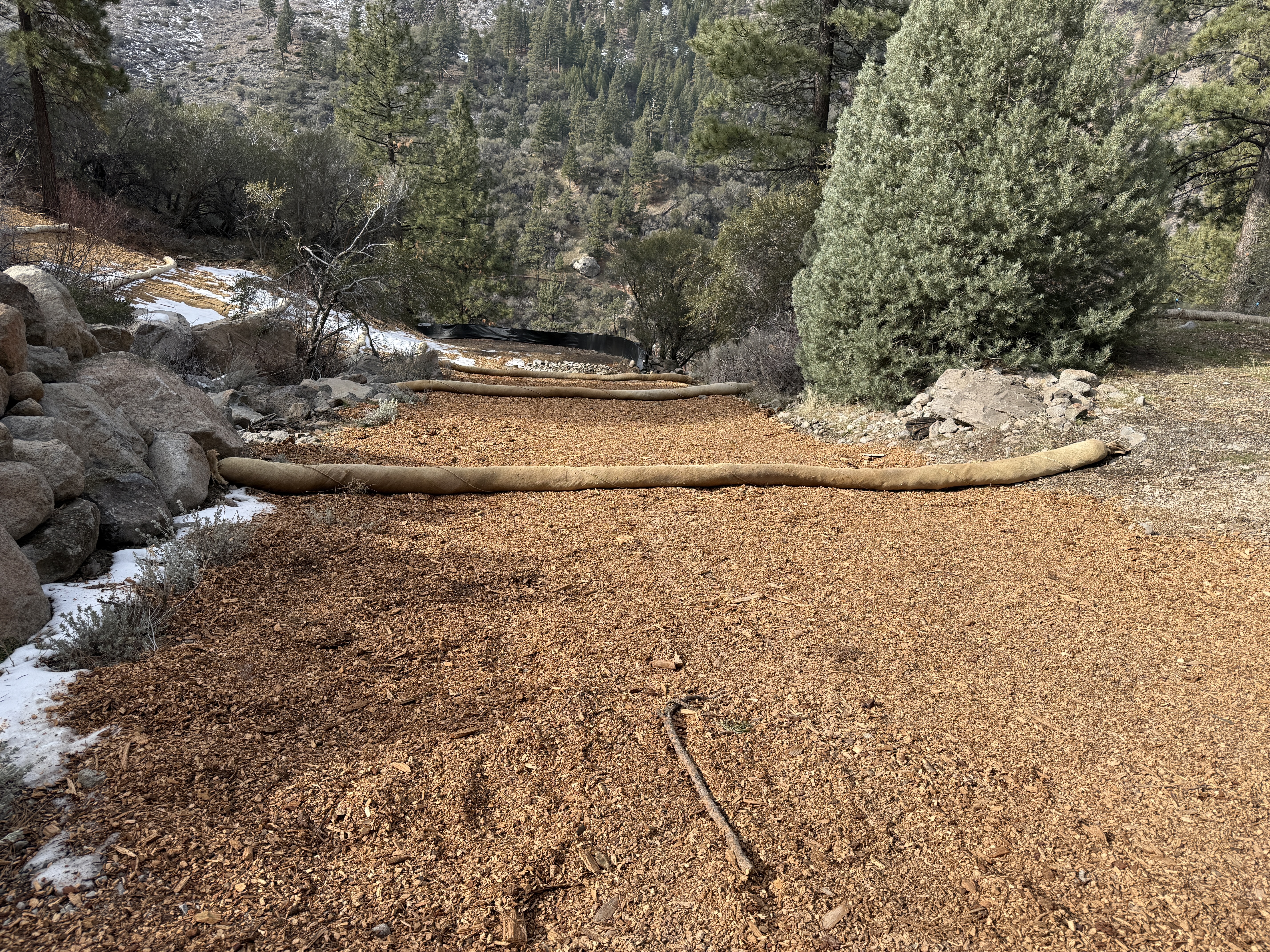
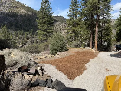
The image shows a series of erosion control wattles laid perpendicular across a mulched path or embankment area, likely aiming to manage water flow and minimize soil erosion. The wattles are positioned at regular intervals along the path, with rocky terrain and trees visible in the background. Mulch covers the path, providing ground stabilization.
Equipment & Materials
Analyzed Apr 21, 2026
Nearby Photos
1m
swppp erosion control
3m
swppp erosion control
4m
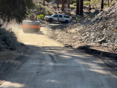
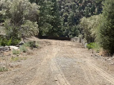
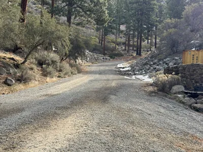
site grading
4m
swppp erosion control
5m
swppp erosion control
8m
site grading
9m
paving surface restoration

10m
pipeline installation
13m
swppp erosion control
13m
excavation