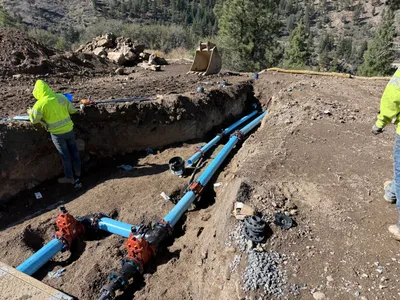
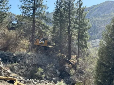
No caption
IMG_2752.JPG
Details
Friday, January 30, 2026 · 11:25 AM
39.39200, -120.02133· 1659m
Location Context
1 / 5
USGS Topo
No elevation data
FEMA Flood
No flood data
OSM Infra
No address data
USDA Soil
No soil data
USGS Hydro
No hydro data
Apple iPhone 16 Pro
iPhone 16 Pro back triple camera 15.66mm f/2.8
15.659999847383mmf/2.81/546sISO 50
Flash did not fire, compulsory flash mode
Show all EXIF (43 fields)
ApertureValue2.9709
BrightnessValue8.2704
ColorSpace65535
CompositeImageGeneral Composite Image
ExifImageHeight3024
ExifVersion2.3.2
ExposureCompensation0
ExposureModeAuto
ExposureProgramNormal program
FlashpixVersion1.0
FocalLengthIn35mmFormat120
GPSDateStamp2026:01:30
GPSDestBearing140.8846
GPSDestBearingRefTrue North
GPSHPositioningError5.5742
GPSImgDirection140.8846
GPSImgDirectionRefT
GPSSpeed0.3589
GPSSpeedRefK
GPSTimeStamp19:25:4
HostComputeriPhone 16 Pro
latitude39.3920
LensInfo2.2200, 15.6600, 1.7800, 2.8000
LensMakeApple
longitude-120.0213
MeteringModePattern
ModifyDate2026-01-30T11:25:04.000Z
OffsetTime-08:00
OffsetTimeDigitized-08:00
OffsetTimeOriginal-08:00
ResolutionUnitinches
SceneCaptureTypeStandard
SceneTypeDirectly photographed
SensingMethodOne-chip color area sensor
ShutterSpeedValue9.0916
Software26.2.1
SubjectArea{"0":1994,"1":1505,"2":2218,"3":1328}
SubSecTimeDigitized562
SubSecTimeOriginal562
WhiteBalanceAuto
XResolution72
YCbCrPositioning1
YResolution72
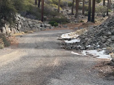
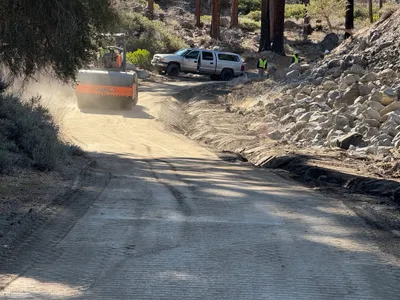
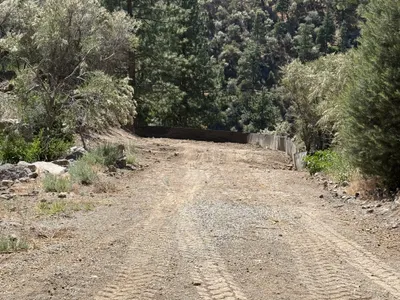
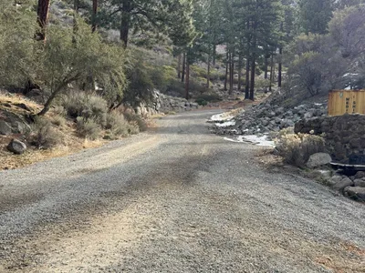
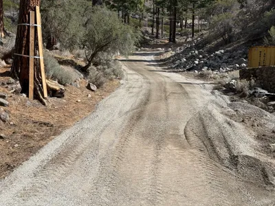
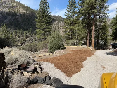
AI Analysis
The image shows a winding gravel path with surrounding rocks and sparse vegetation. There are large boulders on both sides and some snow patches are visible on the ground. The path leads through a wooded area with tall trees. There are no visible construction activities or equipment in the immediate view.
swppp-erosion-control
gravel path with adjacent rocky slope clear weather with natural light open access path, no visible congestion
No safety features are visible in frame.
Analyzed Apr 21, 2026
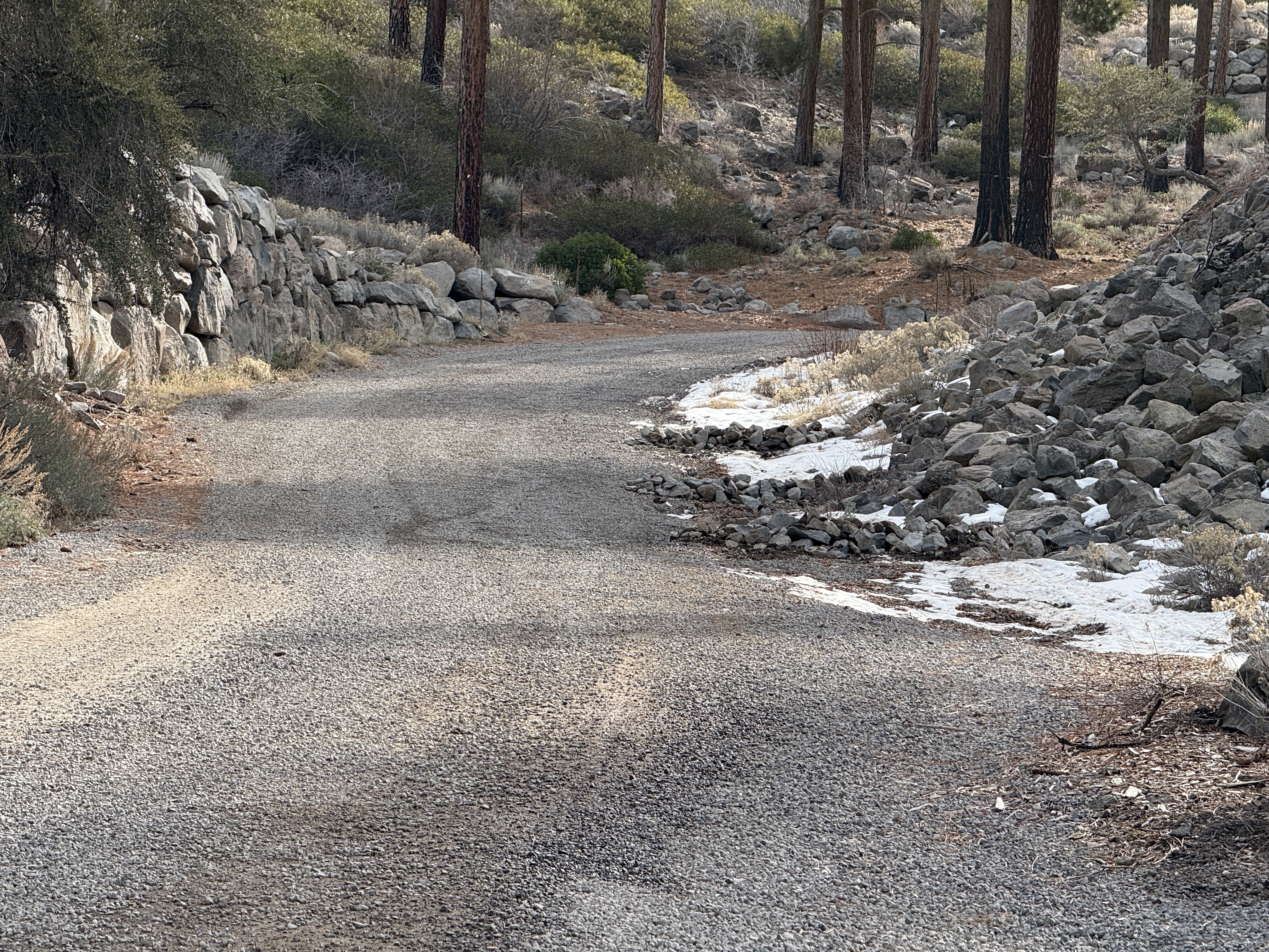
Nearby Photos
1m
swppp erosion control
erosion-controlsediment-control
mulch
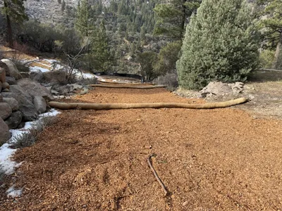
3m
swppp erosion control
dirt-roadloose-rock
gravel
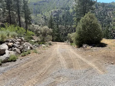
3m
site grading
soil-compactionaccess-road-maintenance
roller-compactor
4m
swppp erosion control
swppp-installationerosion-control
silt-fence
5m
swppp erosion control
road-monitoringgravel-road
8m
paving surface restoration
road-maintenancesite-access
wooden-supports
9m
site grading
site-gradingerosion-control
gravel
10m
pipeline installation
pipeline-installationtrenching-work
gravel

13m
trenching
trenchingmaterial-placement
soil
13m
excavation
excavator-operationsite-clearing
tracked excavator