
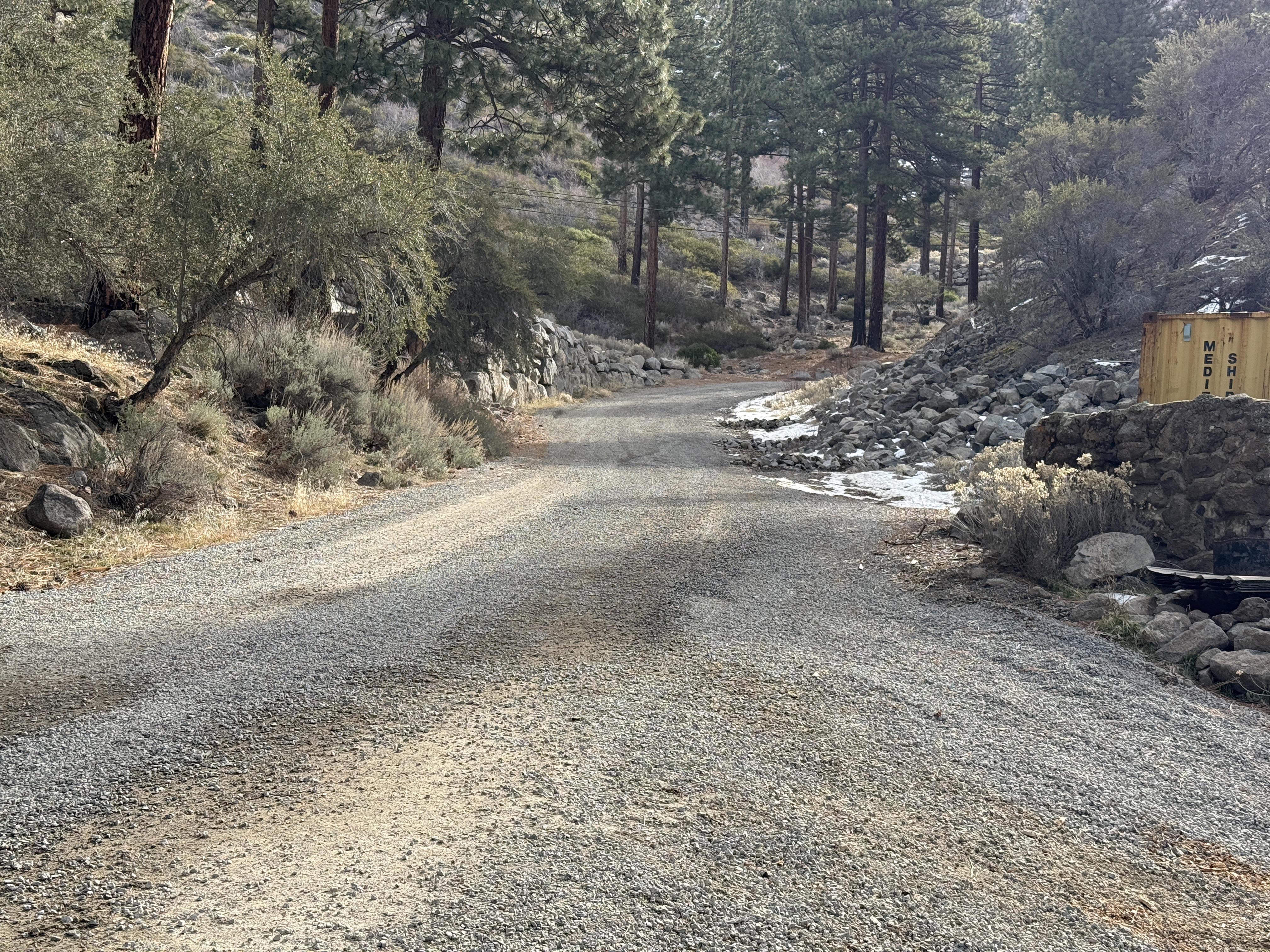
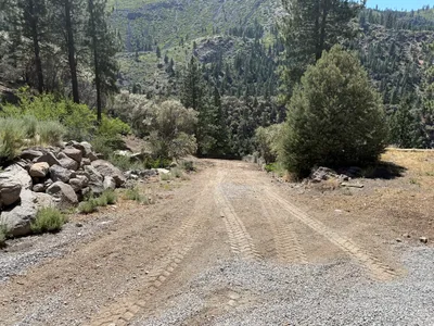
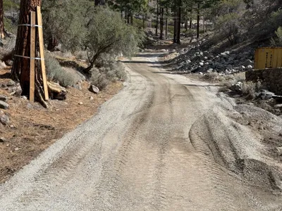
No caption
IMG_2751.JPG
Details
39.39196, -120.02136· 1652m
Location Context
1 / 5
USGS Topo
No elevation data
FEMA Flood
No flood data
OSM Infra
No address data
USDA Soil
No soil data
USGS Hydro
No hydro data
Show all EXIF (43 fields)
AI Analysis
The image shows a gravel road winding through a forest area with pine trees on both sides. There are patches of snow along the roadside and rocky terrain is visible on the right side. A yellow shipping container with partial labeling is positioned on the right edge. The scene appears to be a forested area with no active construction activities visible.
Analyzed Apr 21, 2026
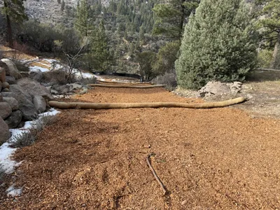
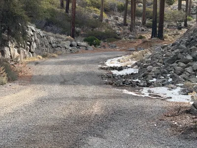
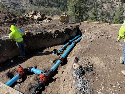
Nearby Photos
5m
swppp erosion control
5m
swppp erosion control
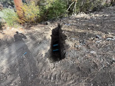
6m
pipeline installation
7m
swppp erosion control
7m
site grading
8m
site grading
9m
swppp erosion control
9m
swppp erosion control
11m
paving surface restoration
12m
trenching