
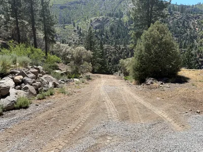
No caption
IMG_6888.JPG
Details
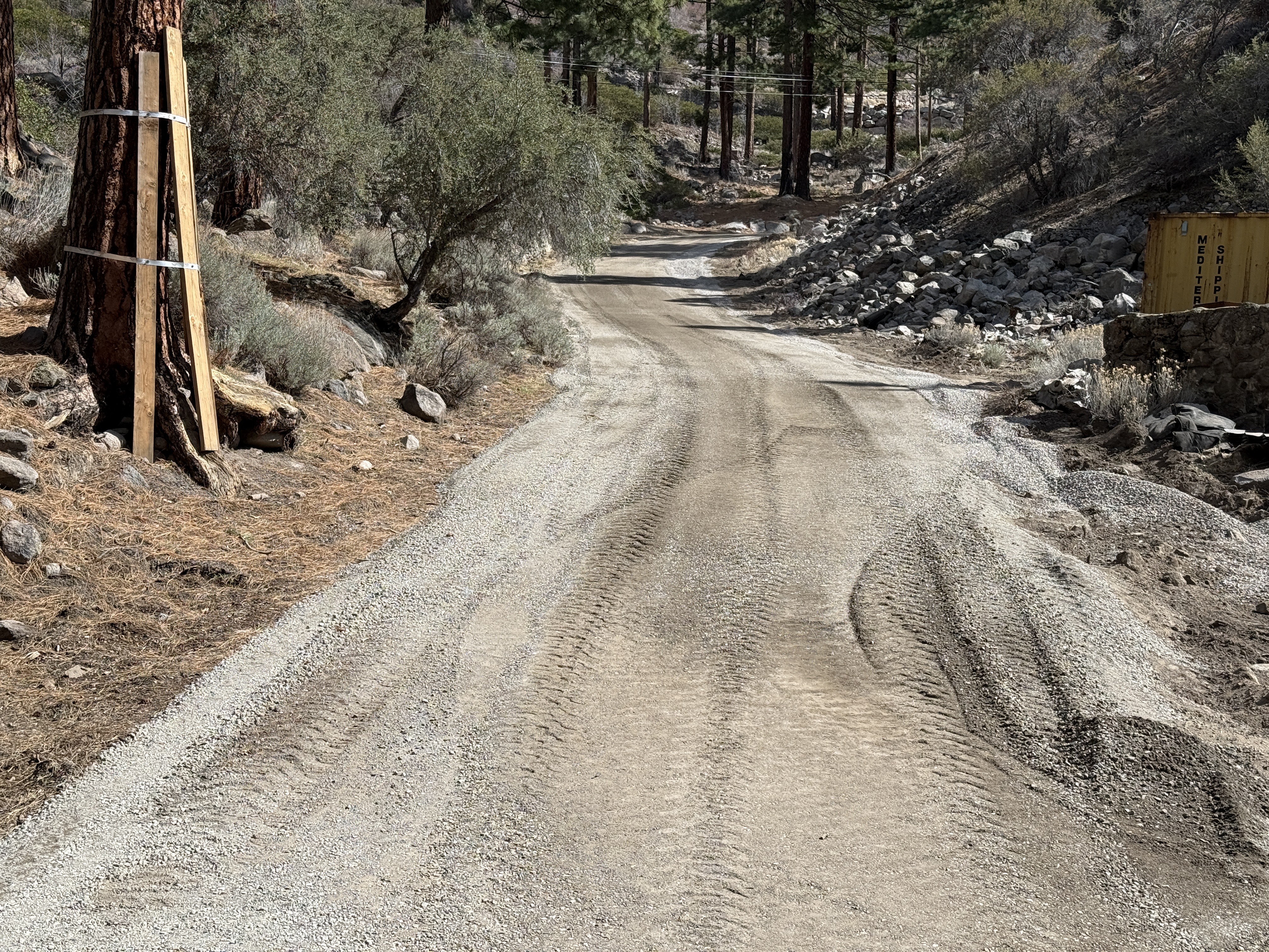
39.39206, -120.02139· 1660m
Location Context
1 / 5
USGS Topo
No elevation data
FEMA Flood
No flood data
OSM Infra
No address data
USDA Soil
No soil data
USGS Hydro
No hydro data
Show all EXIF (43 fields)
AI Analysis
The image shows a dirt access road with tire tracks running through it, indicating recent use by vehicles. There are trees along the left side of the road with wooden supports attached to one. A shipping container is visible on the right side, positioned near a rocky slope. No active construction work or equipment is visible.
Equipment & Materials
AI Tags
Analyzed Apr 21, 2026
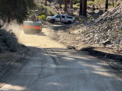
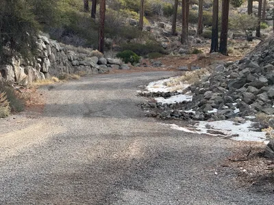
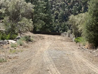
Nearby Photos

5m
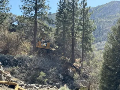
trenching
6m
site grading
8m
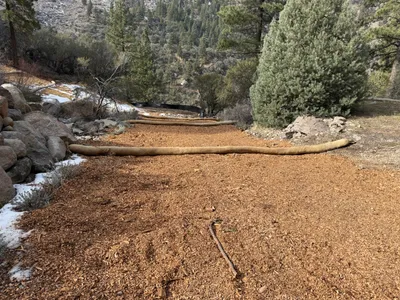
swppp erosion control
8m
swppp erosion control
9m
swppp erosion control
9m
excavation
10m
swppp erosion control
11m
swppp erosion control
14m
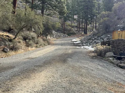
pipeline installation
14m
pipeline installation