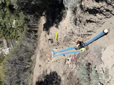
No caption
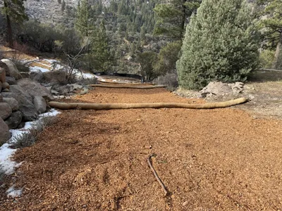
IMG_2754.JPG
Details
39.39193, -120.02145· 1668m
Location Context
1 / 5
USGS Topo
No elevation data
FEMA Flood
No flood data
OSM Infra
No address data
USDA Soil
No soil data
USGS Hydro
No hydro data
Show all EXIF (43 fields)
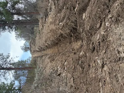
AI Analysis
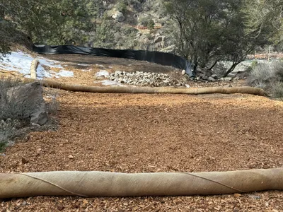
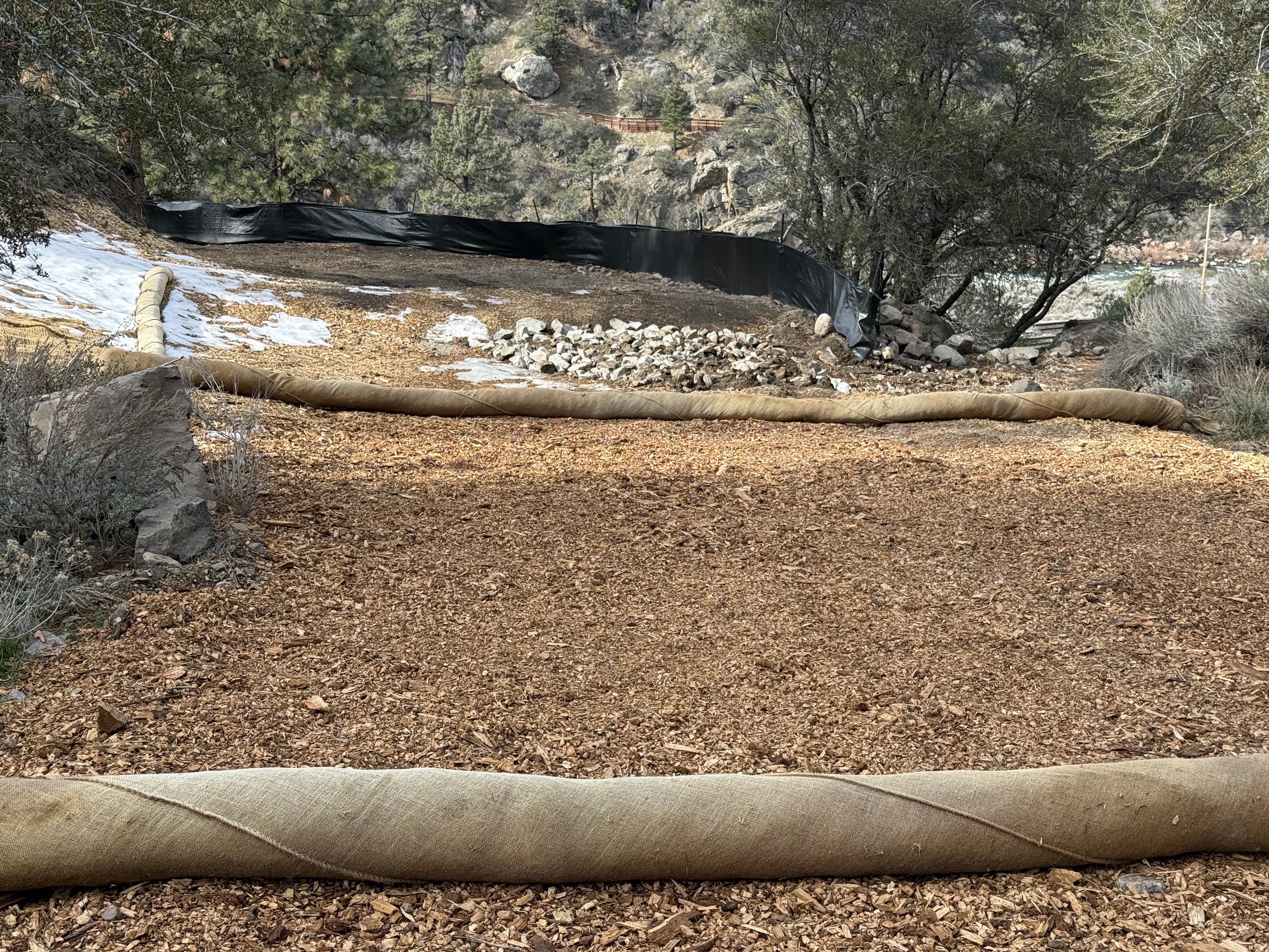
The image shows an area with erosion control measures including wattles laid out in parallel lines and a black silt fence in the background. The ground is covered with wood chips and there is some snow visible on the edge. Rocks are piled near the silt fence for additional stabilization or drainage control.
Equipment & Materials
AI Tags
Analyzed Apr 21, 2026
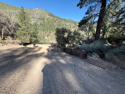
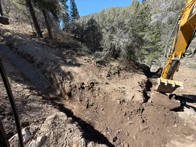
Nearby Photos
3m
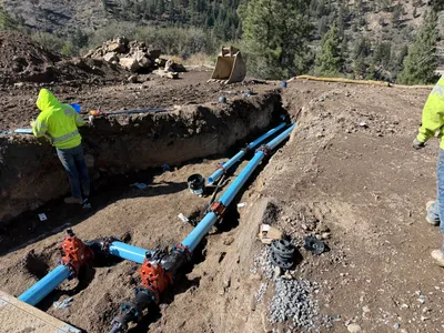
pipeline installation
3m
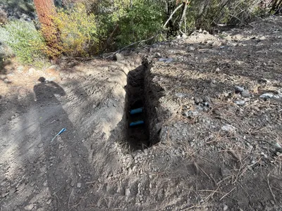
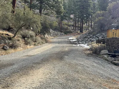
trenching
6m
pipeline installation
9m
swppp erosion control
11m
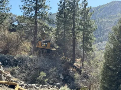
excavation
11m
trenching
13m
swppp erosion control
13m
swppp erosion control
13m
trenching
13m
swppp erosion control