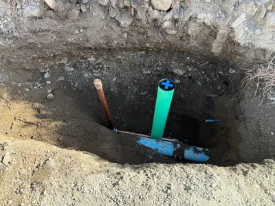
No caption
IMG_8860.JPG
Details
Thursday, July 17, 2025 · 10:50 AM
39.39386, -120.02371· 1623m
Location Context
1 / 5
USGS Topo
No elevation data
FEMA Flood
No flood data
OSM Infra
No address data
USDA Soil
No soil data
USGS Hydro
No hydro data
Apple iPhone 16 Pro
iPhone 16 Pro back triple camera 6.765mm f/1.78
6.764999865652793mmf/1.7799999713880651/1855sISO 80
Flash did not fire, compulsory flash mode
Show all EXIF (44 fields)
ApertureValue1.6638
BrightnessValue8.3091
ColorSpace65535
CompositeImageGeneral Composite Image
DigitalZoomRatio1.0014
ExifImageHeight4284
ExifVersion2.3.2
ExposureCompensation0
ExposureModeAuto
ExposureProgramNormal program
FlashpixVersion1.0
FocalLengthIn35mmFormat24
GPSDateStamp2025:07:17
GPSDestBearing173.0054
GPSDestBearingRefTrue North
GPSHPositioningError56.4205
GPSImgDirection173.0054
GPSImgDirectionRefT
GPSSpeed0
GPSSpeedRefK
GPSTimeStamp17:50:12
HostComputeriPhone 16 Pro
latitude39.3939
LensInfo2.2200, 15.6600, 1.7800, 2.8000
LensMakeApple
longitude-120.0237
MeteringModePattern
ModifyDate2025-07-17T10:50:15.000Z
OffsetTime-07:00
OffsetTimeDigitized-07:00
OffsetTimeOriginal-07:00
ResolutionUnitinches
SceneCaptureTypeStandard
SceneTypeDirectly photographed
SensingMethodOne-chip color area sensor
ShutterSpeedValue10.8574
Software18.6
SubjectArea{"0":2862,"1":2145,"2":3145,"3":1886}
SubSecTimeDigitized868
SubSecTimeOriginal868
WhiteBalanceAuto
XResolution72
YCbCrPositioning1
YResolution72
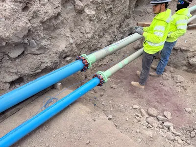
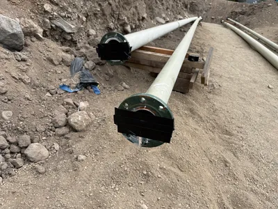
AI Analysis
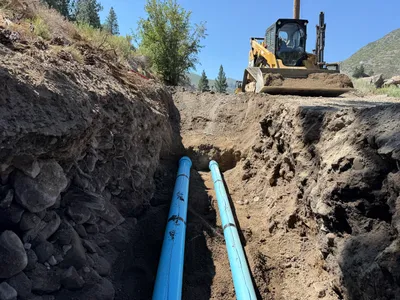
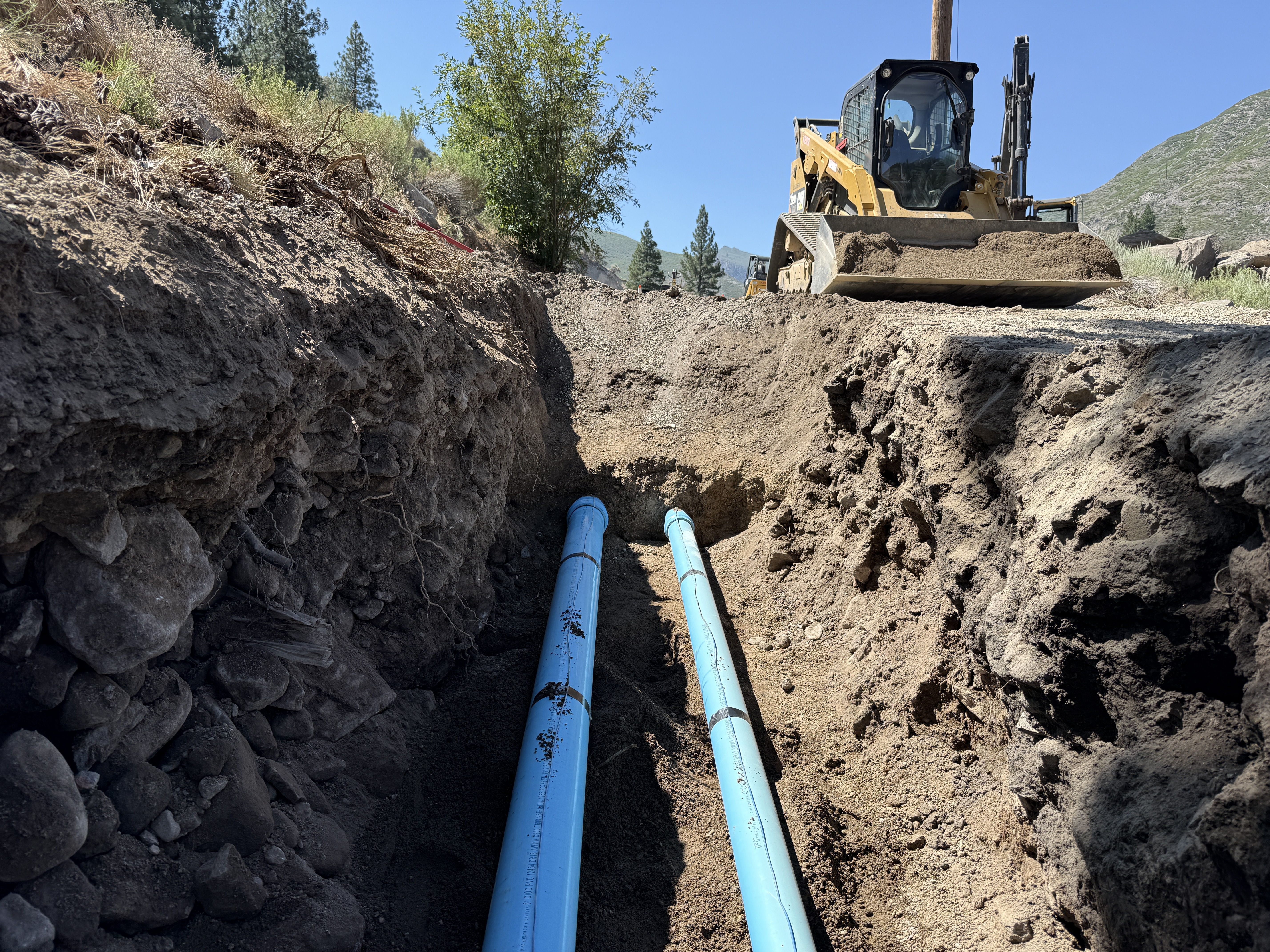
The image shows two blue pipelines laid in an open trench. The trench is cut into a slope with soil and rocks visible on the sides. A bulldozer is parked on the surface above the trench, which might be part of the backfilling process. The surrounding area shows natural vegetation and a clear sky, indicating daytime work.
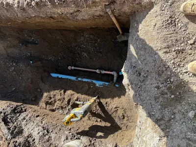
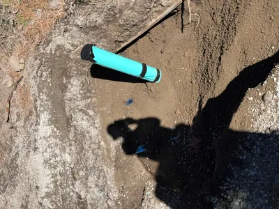
trenching
soil with exposed rocks clear sky, daylight trench is open and accessible
Safety features are not visible in frame.
Equipment & Materials
AI Tags
Analyzed Apr 21, 2026
Nearby Photos

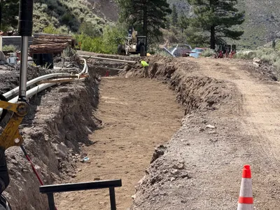
9m
trenching
trenchingpipeline-installation
excavator
11m
trenching
trenchingpipe-laying
reciprocating-saw
13m
backfill
backfillexcavation
soil
14m
site grading
site-gradingsoil-compaction
compaction-roller
16m
pipeline installation
pipeline-inspectionpipe-installation
steel pipes
19m
trenching
pipeline-excavationtrenching
pipe wrench
22m
site grading
site-gradingtraffic-cones
roller-compactor
22m
pipeline installation
pipeline-stagingpipes
pipelines
26m
trenching
trenchingpipe-installation
soil
28m
trenching
trenchingpipe-installation-prep
excavator