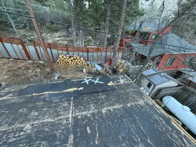
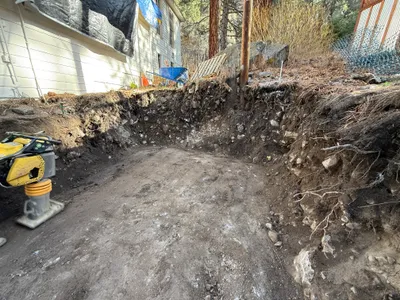
No caption
IMG_6830.JPG
Details
39.39469, -120.02071· 1664m
Location Context
1 / 5
USGS Topo
No elevation data
FEMA Flood
No flood data
OSM Infra
No address data
USDA Soil
No soil data
USGS Hydro
No hydro data
Show all EXIF (43 fields)
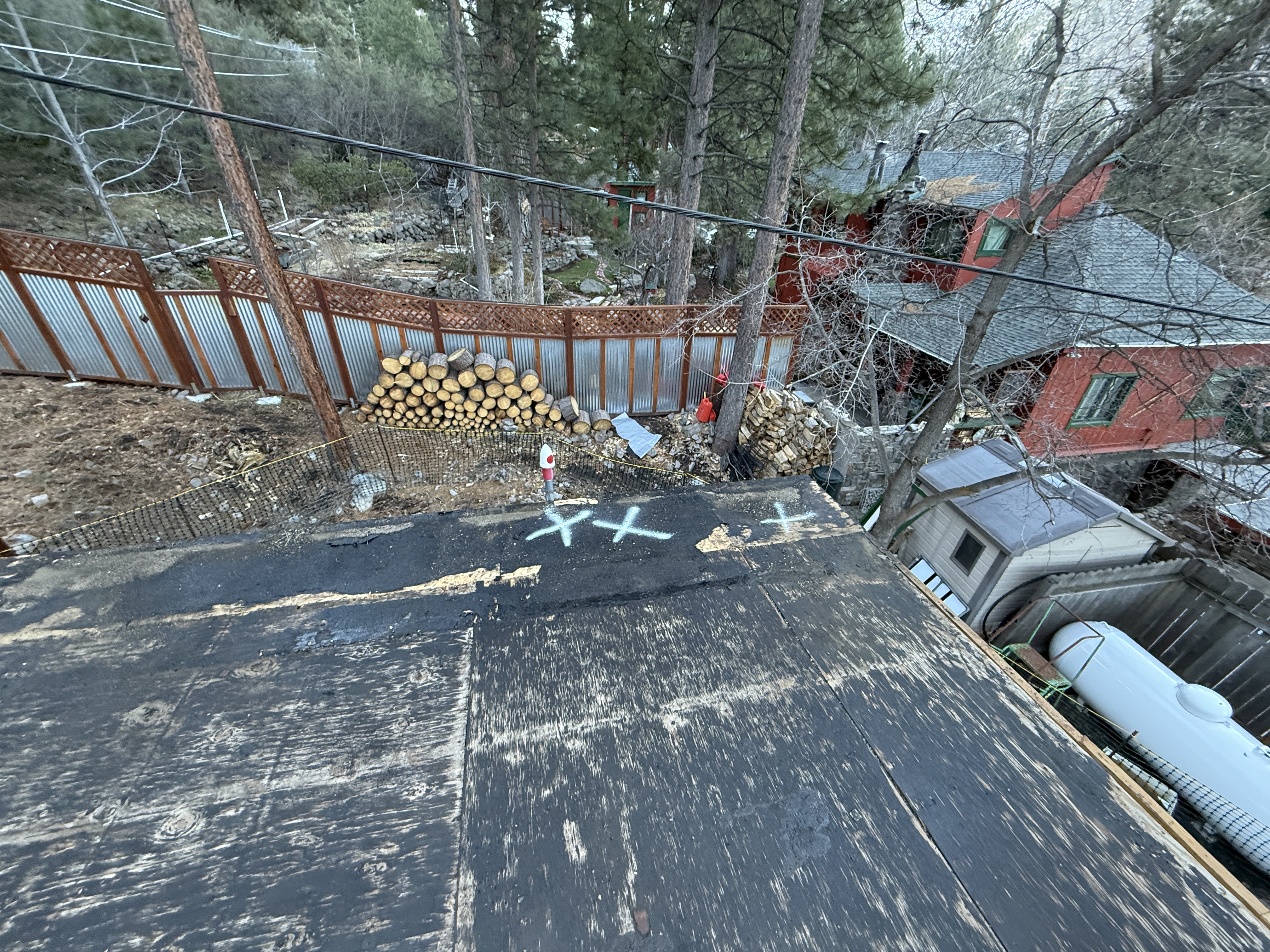
AI Analysis
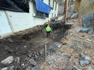
The image shows an elevated view of a roof area with multiple logs stacked against a metal fence, indicating material staging. The pavement has several 'X' markings, possibly indicating areas for upcoming work or inspection. Other structures, such as a shed and a propane tank, are visible nearby. Trees surround the area, contributing to a forested environment.
Equipment & Materials
AI Tags
Analyzed Apr 21, 2026
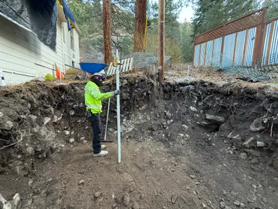
Nearby Photos

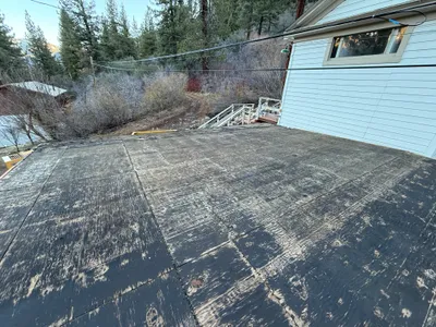
paving surface restoration
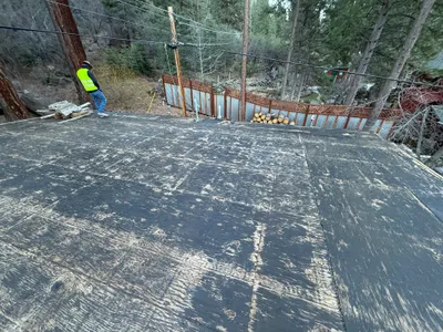
0m
inspection documentation

0m
other
1m
survey layout
2m
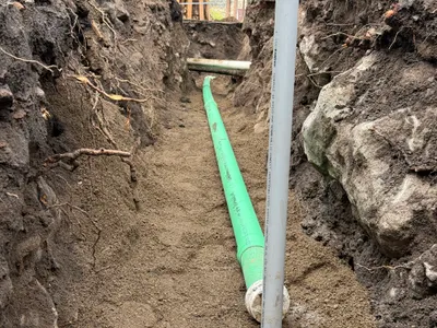
excavation

2m
other
2m
other
3m
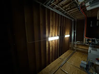
electrical
3m
trenching
3m
trenching