No caption
IMG_0286.JPG
Details
Thursday, September 18, 2025 · 4:16 PM
39.39227, -120.02221· 1639m
Location Context
1 / 5
USGS Topo
No elevation data
FEMA Flood
No flood data
OSM Infra
No address data
USDA Soil
No soil data
USGS Hydro
No hydro data
Apple iPhone 16 Pro
iPhone 16 Pro back triple camera 2.22mm f/2.2
2.220000028611935mmf/2.21/224sISO 50
Flash did not fire, compulsory flash mode
Show all EXIF (43 fields)
ApertureValue2.2750
BrightnessValue6.6932
ColorSpace65535
CompositeImageGeneral Composite Image
ExifImageHeight3024
ExifVersion2.3.2
ExposureCompensation0
ExposureModeAuto
ExposureProgramNormal program
FlashpixVersion1.0
FocalLengthIn35mmFormat14
GPSDateStamp2025:09:18
GPSDestBearing188.8937
GPSDestBearingRefTrue North
GPSHPositioningError36.7283
GPSImgDirection188.8937
GPSImgDirectionRefT
GPSSpeed0
GPSSpeedRefK
GPSTimeStamp23:16:12
HostComputeriPhone 16 Pro
latitude39.3923
LensInfo2.2200, 15.6600, 1.7800, 2.8000
LensMakeApple
longitude-120.0222
MeteringModePattern
ModifyDate2025-09-18T16:16:13.000Z
OffsetTime-07:00
OffsetTimeDigitized-07:00
OffsetTimeOriginal-07:00
ResolutionUnitinches
SceneCaptureTypeStandard
SceneTypeDirectly photographed
SensingMethodOne-chip color area sensor
ShutterSpeedValue7.8097
Software26.0
SubjectArea{"0":2002,"1":1508,"2":2218,"3":1328}
SubSecTimeDigitized711
SubSecTimeOriginal711
WhiteBalanceAuto
XResolution72
YCbCrPositioning1
YResolution72
AI Analysis
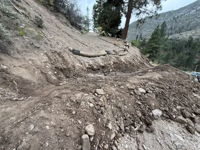
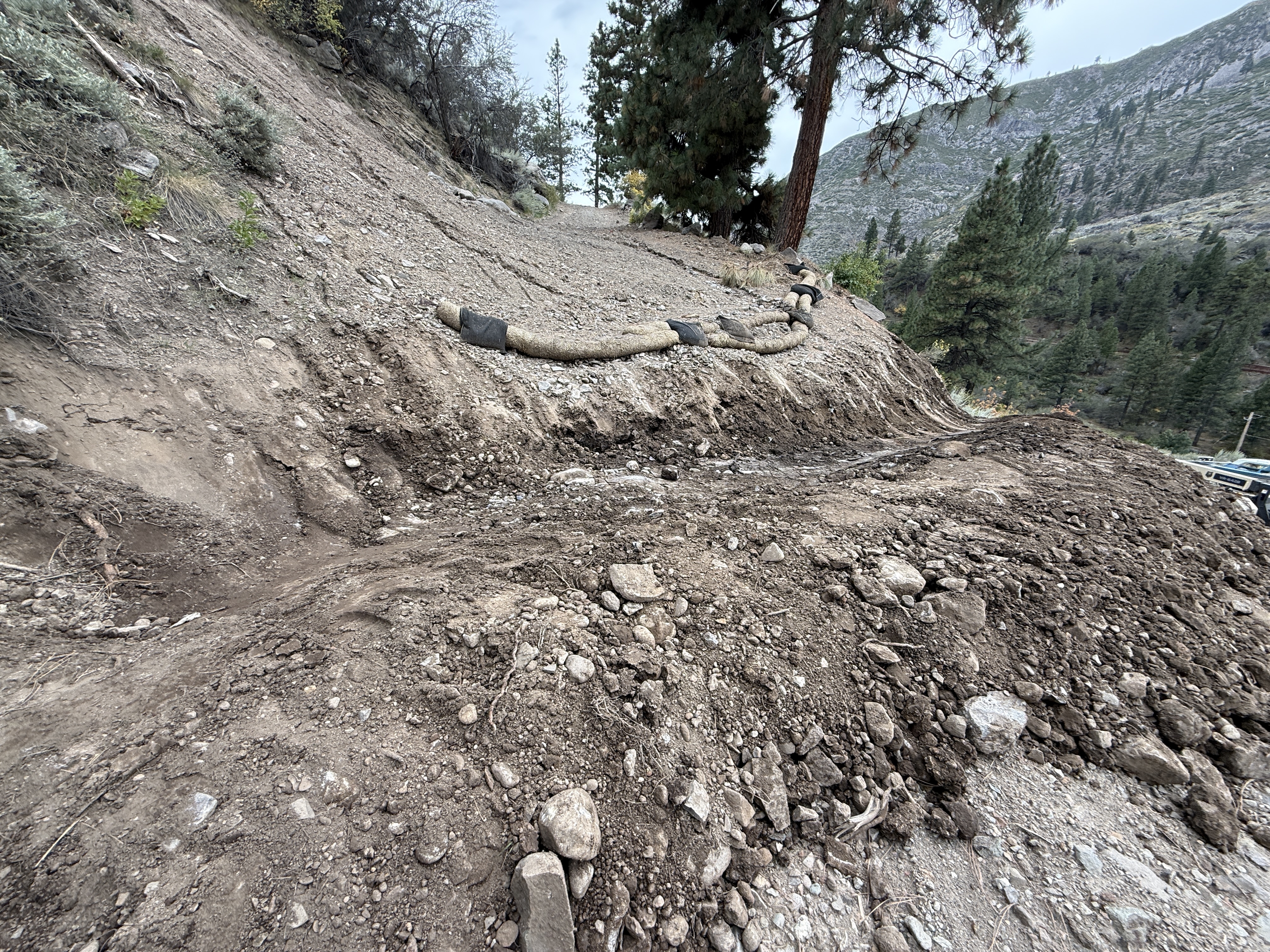
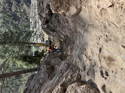
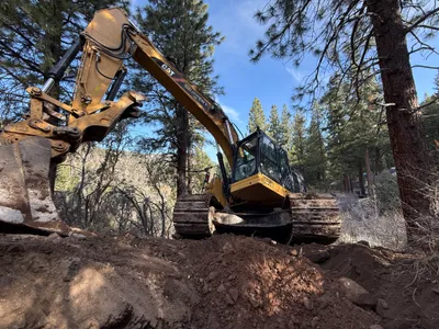
The image shows a natural slope area undergoing erosion control. Straw wattles are positioned on the slope to mitigate soil erosion. The soil surface appears to be uneven with visible runoff channels. Mature trees are visible in the background, suggesting the area may be in a natural setting.
swppp-erosion-control
uneven soil with visible erosion channels overcast lighting conditions no visible staging or access issues
Safety features are not visible in frame, but uneven ground presents a hazard.
Equipment & Materials
AI Tags
Analyzed Apr 21, 2026
Nearby Photos
10m
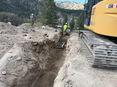
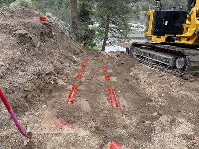
trenching
trenchingpipe-preparation
excavator
11m
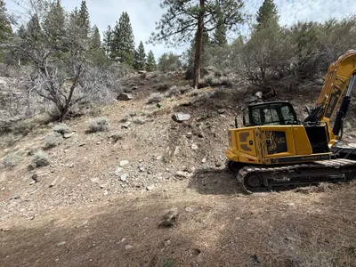
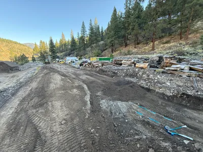
site grading
site-gradingexcavation
excavator
12m
excavation
excavationearth-moving
excavator
12m
trenching
trenchingexcavation-work
mini-excavator
12m
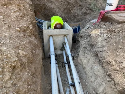
pipeline installation
duct-bank-installationinspection
concrete-junction-box
13m
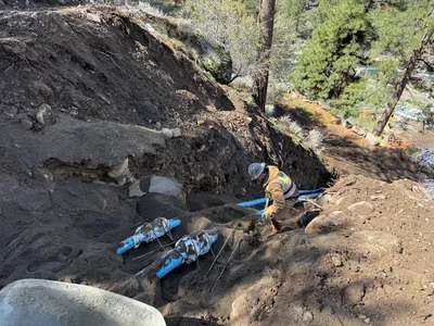
pipeline installation
pipe-installationhillside-work
hand-tools
13m
excavation
earthmovingland-clearing
excavator
14m
trenching
trenchingutility-marking
excavator
15m
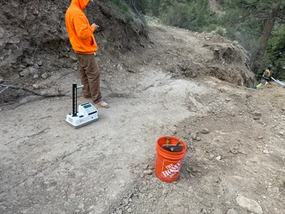
survey layout
soil-testingsite-inspection
handheld-device
16m
site grading
site-gradingearth-moving
bulldozer