No caption
IMG_7469.JPG
Details
Wednesday, April 30, 2025 · 2:48 PM
39.39205, -120.02168· 1682m
Location Context
1 / 5
USGS Topo
No elevation data
FEMA Flood
No flood data
OSM Infra
No address data
USDA Soil
No soil data
USGS Hydro
No hydro data
Apple iPhone 16 Pro
iPhone 16 Pro back triple camera 6.765mm f/1.78
6.764999865652793mmf/1.7799999713880651/1192sISO 100
Flash did not fire, compulsory flash mode
Show all EXIF (43 fields)
ApertureValue1.6638
BrightnessValue7.3525
ColorSpace65535
CompositeImageGeneral Composite Image
ExifImageHeight4284
ExifVersion2.3.2
ExposureCompensation0
ExposureModeAuto
ExposureProgramNormal program
FlashpixVersion1.0
FocalLengthIn35mmFormat24
GPSDateStamp2025:04:30
GPSDestBearing225.3138
GPSDestBearingRefTrue North
GPSHPositioningError163.4663
GPSImgDirection225.3138
GPSImgDirectionRefT
GPSSpeed0
GPSSpeedRefK
GPSTimeStamp21:48:4
HostComputeriPhone 16 Pro
latitude39.3921
LensInfo2.2200, 15.6600, 1.7800, 2.8000
LensMakeApple
longitude-120.0217
MeteringModePattern
ModifyDate2025-04-30T14:48:07.000Z
OffsetTime-07:00
OffsetTimeDigitized-07:00
OffsetTimeOriginal-07:00
ResolutionUnitinches
SceneCaptureTypeStandard
SceneTypeDirectly photographed
SensingMethodOne-chip color area sensor
ShutterSpeedValue10.2190
Software18.5
SubjectArea{"0":2851,"1":2137,"2":3141,"3":1884}
SubSecTimeDigitized460
SubSecTimeOriginal460
WhiteBalanceAuto
XResolution72
YCbCrPositioning1
YResolution72
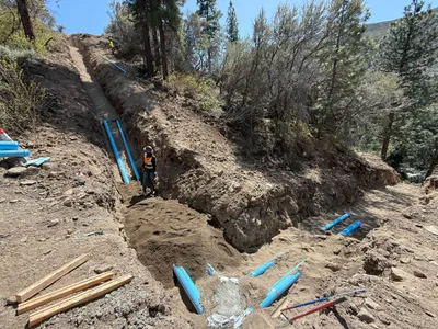
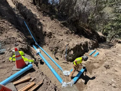
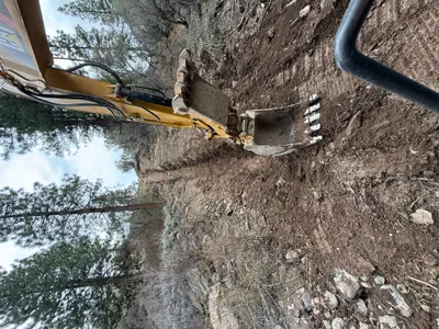
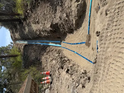
AI Analysis
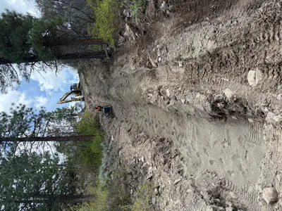
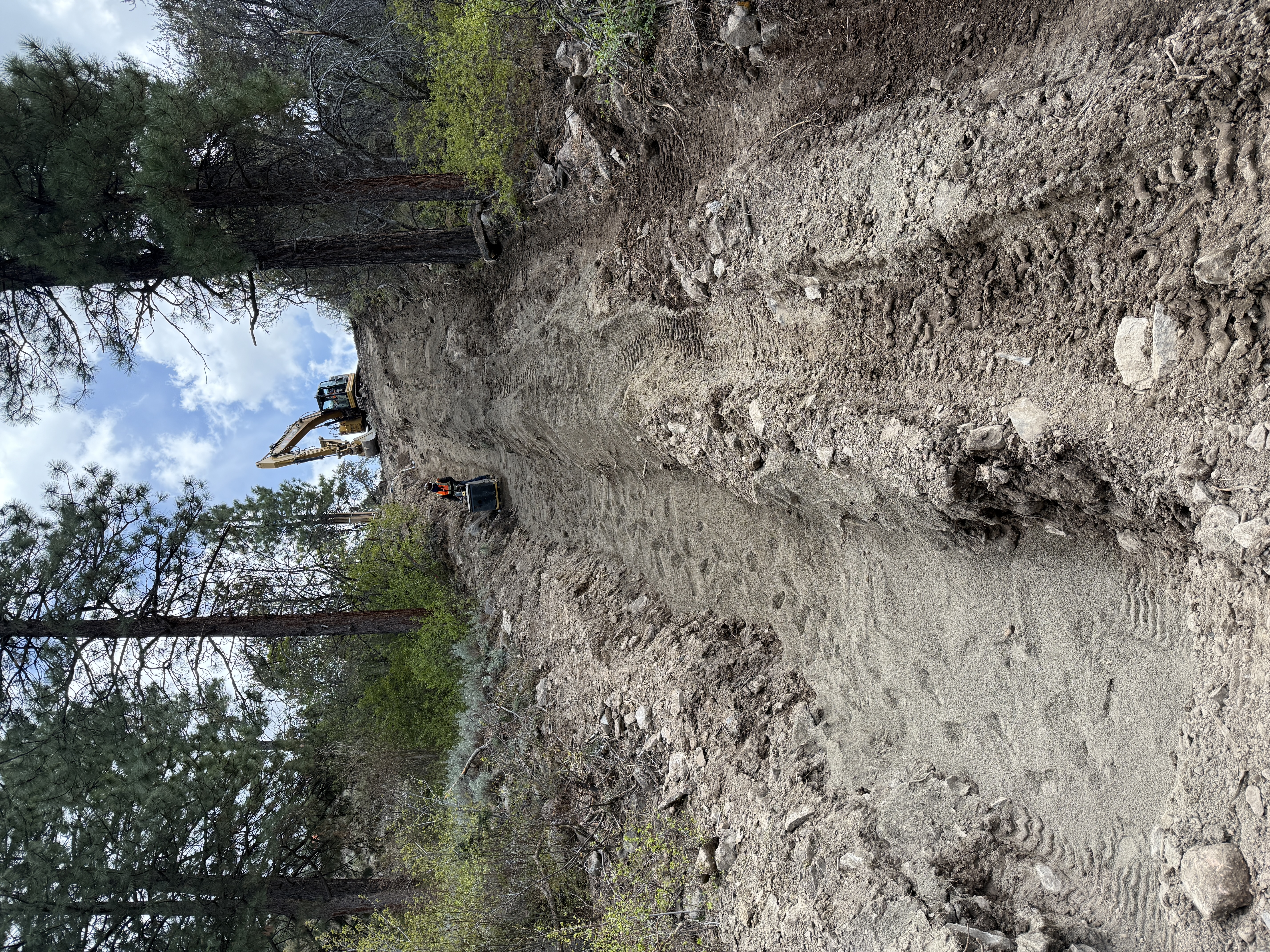
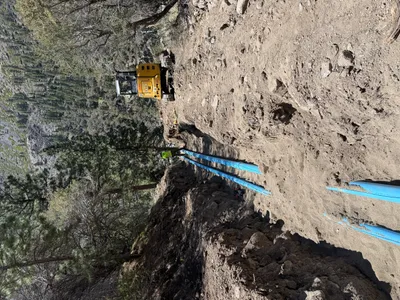
The image shows a steep, excavated dirt slope with a worker using a power tool or small machine. An excavator is positioned at the top of the slope. Footprints and machinery tracks are visible on the recently disturbed soil. Trees are present on both sides of the excavation area.
excavation
disturbed dirt slope partly cloudy lighting limited access due to steep slope
PPE is visible, but no specific controls are in place.
Equipment & Materials
Analyzed Apr 21, 2026
Nearby Photos
5m
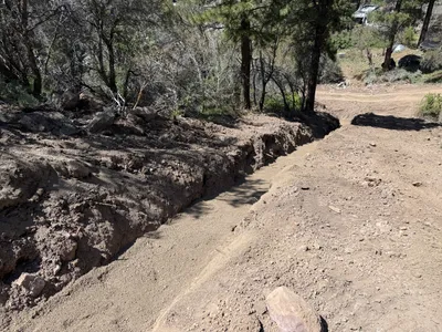
trenching
trenchingexcavation
excavator
5m
trenching
trenchingutility-preparation
backhoe
5m
pipeline installation
trenchingpipe-laying
excavator
6m
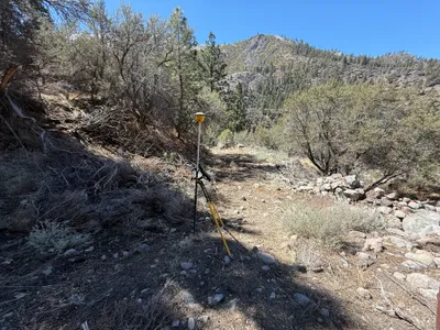
survey layout
survey-setupsite-survey
survey-instrument
6m
trenching
trenchingexcavation
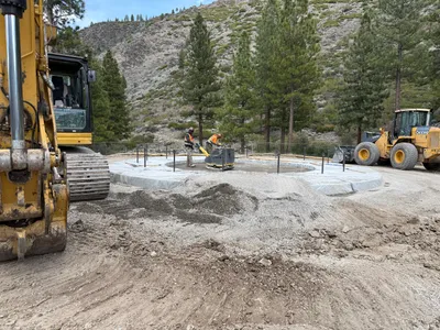
6m
concrete work
foundation-preparationsite-grading
excavator
6m
trenching
trenchingpipe-staging
blue piping
6m
pipeline installation
pipe-installationtrenching
shovel
7m
trenching
trenchingexcavation
excavator
7m
pipeline installation
pipeline-installationtrenching
soil