
No caption
IMG_1136.JPG
Details
Monday, October 27, 2025 · 7:50 AM
39.39179, -120.02156· 1662m
Location Context
1 / 5
USGS Topo
No elevation data
FEMA Flood
No flood data
OSM Infra
No address data
USDA Soil
No soil data
USGS Hydro
No hydro data
Apple iPhone 16 Pro
iPhone 16 Pro back triple camera 6.765mm f/1.78
6.764999865652793mmf/1.7799999713880651/121sISO 80
Flash did not fire, compulsory flash mode
Show all EXIF (43 fields)
ApertureValue1.6638
BrightnessValue4.4488
ColorSpace65535
CompositeImageGeneral Composite Image
ExifImageHeight4284
ExifVersion2.3.2
ExposureCompensation0
ExposureModeAuto
ExposureProgramNormal program
FlashpixVersion1.0
FocalLengthIn35mmFormat24
GPSDateStamp2025:10:27
GPSDestBearing311.4486
GPSDestBearingRefTrue North
GPSHPositioningError53.4298
GPSImgDirection311.4486
GPSImgDirectionRefT
GPSSpeed0
GPSSpeedRefK
GPSTimeStamp14:50:14
HostComputeriPhone 16 Pro
latitude39.3918
LensInfo2.2200, 15.6600, 1.7800, 2.8000
LensMakeApple
longitude-120.0216
MeteringModePattern
ModifyDate2025-10-27T07:50:14.000Z
OffsetTime-07:00
OffsetTimeDigitized-07:00
OffsetTimeOriginal-07:00
ResolutionUnitinches
SceneCaptureTypeStandard
SceneTypeDirectly photographed
SensingMethodOne-chip color area sensor
ShutterSpeedValue6.9235
Software26.0.1
SubjectArea{"0":2853,"1":2140,"2":3142,"3":1881}
SubSecTimeDigitized426
SubSecTimeOriginal426
WhiteBalanceAuto
XResolution72
YCbCrPositioning1
YResolution72
AI Analysis
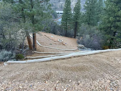
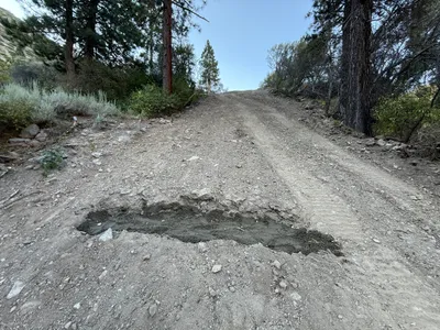
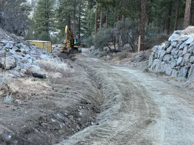
Erosion control blankets cover a slope, secured with stakes, while coir logs run horizontally to help prevent erosion. Trees surround the work area, and a road or highway is visible in the background. The landscape suggests efforts to stabilize and protect the slope from erosion. It appears to be part of a broader slope stabilization project.
swppp-erosion-control
slope with erosion control features overcast or early/late lighting likely accessible via adjacent road
Safety controls and PPE are not visible in frame.
Equipment & Materials
AI Tags
Analyzed Apr 21, 2026
Nearby Photos
3m
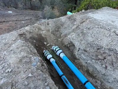
trenching
trenchingconduit-laying
shovel
7m
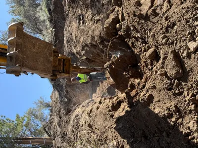
trenching
trenching-operationexcavator
excavator
8m
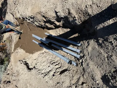
trenching
trenchingpipe-laying
excavated-soil
8m
swppp erosion control
erosion-controlroad-maintenance
8m
excavation
excavationearthwork
excavator
8m
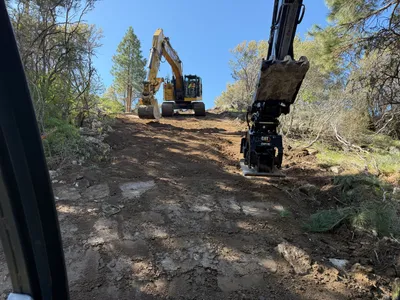
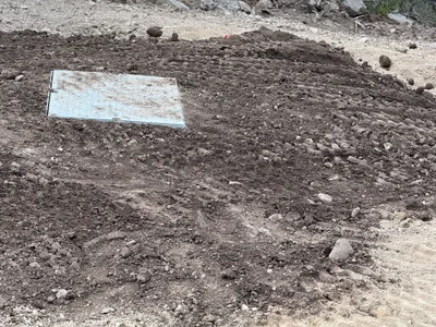
site grading
backfillsite-prep
soil
10m
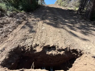
excavation
excavationtrench
11m
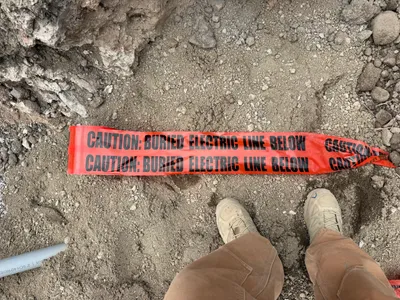
excavation
electric-line-cautionwarning-tape
warning-tape

12m
trenching
trenchingexcavation
excavator
12m
site grading
gradingaccess-road-construction
excavator