
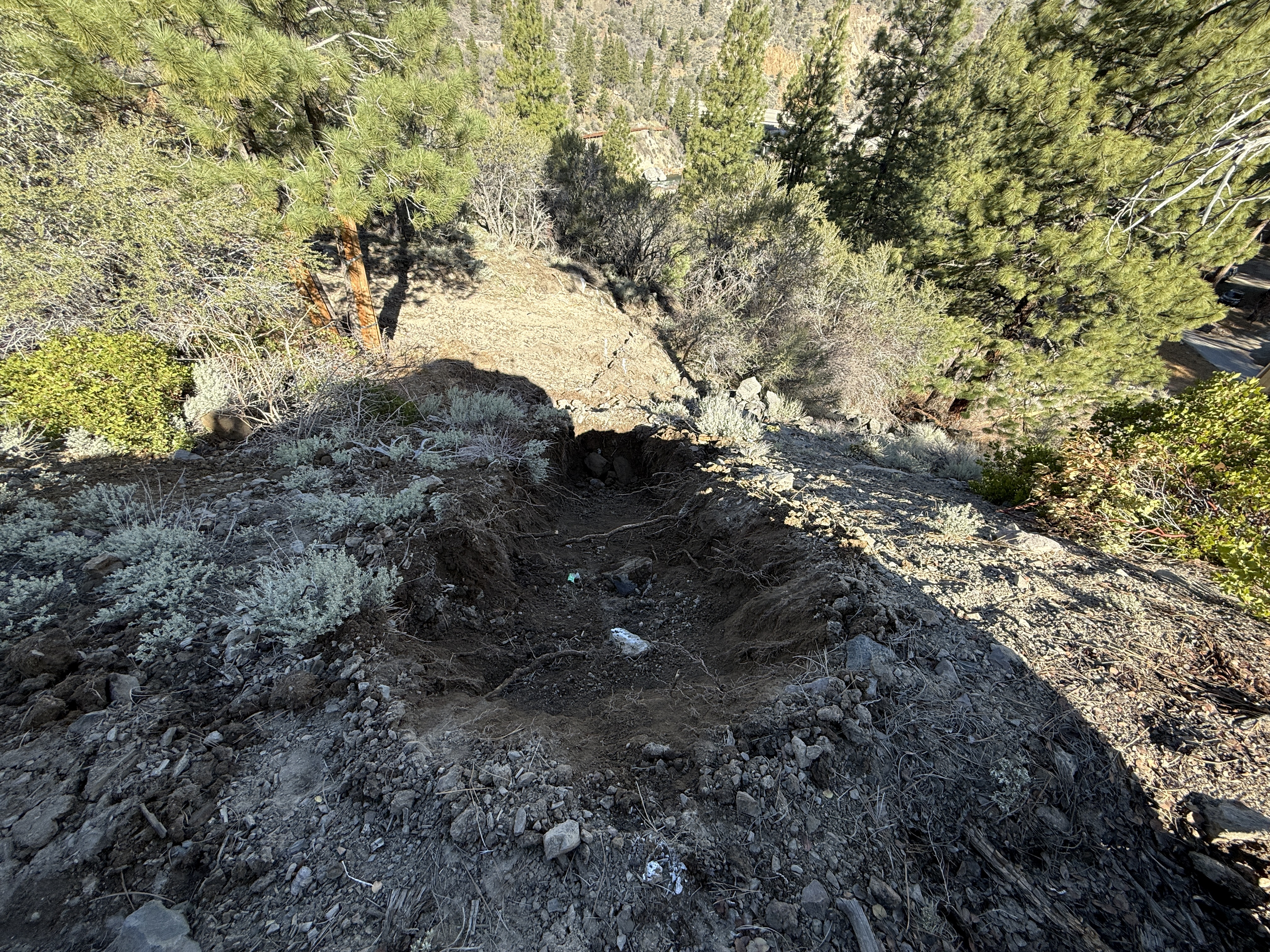
No caption
IMG_7128.JPG
Details
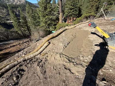
39.39151, -120.02137· 1674m
Location Context
1 / 5
USGS Topo
No elevation data
FEMA Flood
No flood data
OSM Infra
No address data
USDA Soil
No soil data
USGS Hydro
No hydro data
Show all EXIF (43 fields)
AI Analysis
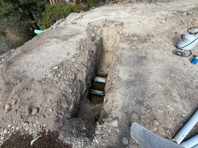
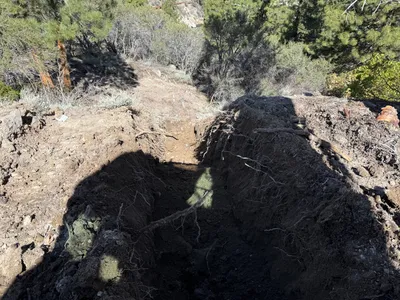
The image shows a dug-out or eroded section of soil on a hillside with surrounding vegetation. No machinery, tools, or active work crew are visible in the image. The disturbed area appears to be approximately in the center of the frame, leading down the slope. There are remnants of vegetation around the perimeter, indicating recent soil movement or removal.
Analyzed Apr 21, 2026
Nearby Photos
1m
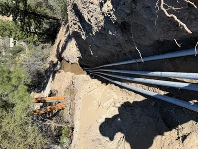
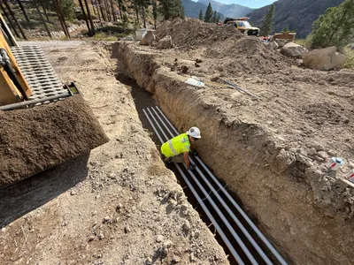
pipeline installation
1m
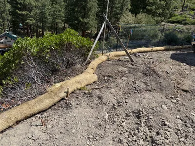
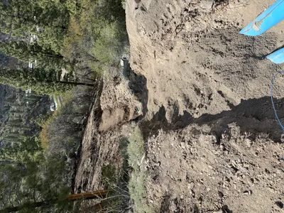
swppp erosion control
1m
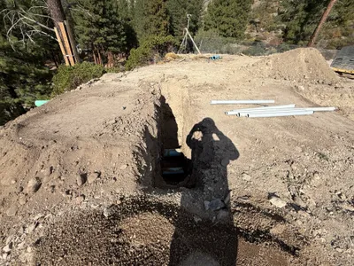
trenching
2m
trenching
2m
trenching
2m
trenching
2m
pipeline installation
2m
site grading
2m
swppp erosion control
2m
site grading