No caption
IMG_0972.JPG
Details
Thursday, October 16, 2025 · 3:18 PM
39.39150, -120.02139· 1683m
Location Context
1 / 5
USGS Topo
No elevation data
FEMA Flood
No flood data
OSM Infra
No address data
USDA Soil
No soil data
USGS Hydro
No hydro data
Apple iPhone 16 Pro
iPhone 16 Pro back triple camera 2.22mm f/2.2
2.220000028611935mmf/2.21/1613sISO 50
Flash did not fire, compulsory flash mode
Show all EXIF (43 fields)
ApertureValue2.2750
BrightnessValue9.2000
ColorSpace65535
CompositeImageGeneral Composite Image
ExifImageHeight3024
ExifVersion2.3.2
ExposureCompensation0
ExposureModeAuto
ExposureProgramNormal program
FlashpixVersion1.0
FocalLengthIn35mmFormat14
GPSDateStamp2025:10:16
GPSDestBearing355.7559
GPSDestBearingRefTrue North
GPSHPositioningError3.4976
GPSImgDirection355.7559
GPSImgDirectionRefT
GPSSpeed0.7002
GPSSpeedRefK
GPSTimeStamp22:18:25
HostComputeriPhone 16 Pro
latitude39.3915
LensInfo2.2200, 15.6600, 1.7800, 2.8000
LensMakeApple
longitude-120.0214
MeteringModePattern
ModifyDate2025-10-16T15:18:26.000Z
OffsetTime-07:00
OffsetTimeDigitized-07:00
OffsetTimeOriginal-07:00
ResolutionUnitinches
SceneCaptureTypeStandard
SceneTypeDirectly photographed
SensingMethodOne-chip color area sensor
ShutterSpeedValue10.6554
Software26.0.1
SubjectArea{"0":2002,"1":1508,"2":2218,"3":1328}
SubSecTimeDigitized726
SubSecTimeOriginal726
WhiteBalanceAuto
XResolution72
YCbCrPositioning1
YResolution72
AI Analysis
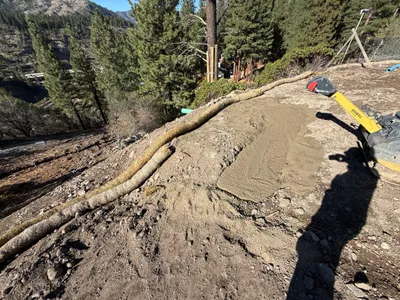
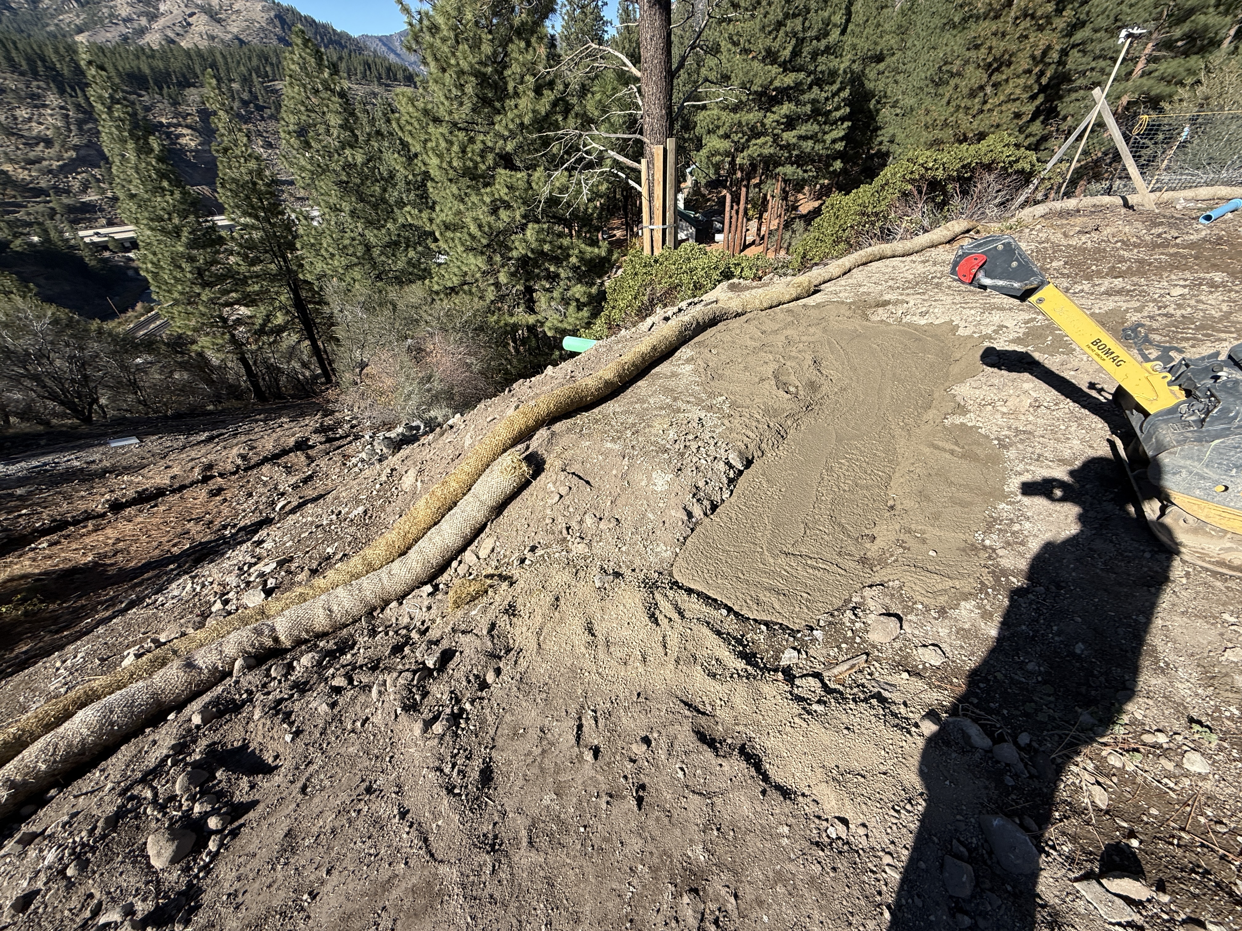
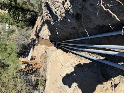
The image shows a site-grading operation on a sloped area with a compacted soil surface. A straw erosion control measure is laid parallel to the slope on the left. A vibratory plate compactor is present on the right side of the image. The area appears to be prepared for further construction work or surface stabilization.
site-grading
sloped terrain with compacted soil clear weather with natural lighting ample clear area for equipment movement
No active safety features or PPE visible in frame.
Equipment & Materials
Analyzed Apr 21, 2026
Nearby Photos
1m
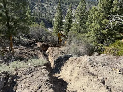
trenching
trenchingexcavation
excavator
1m
trenching
trenchingexcavation
soil
1m
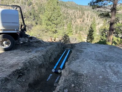
pipeline installation
trenchingpipeline-installation
truck
2m
trenching
trenchingexcavation
excavator
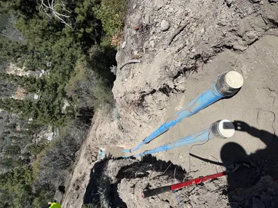
2m
trenching
trenchingpipe-laying
shovel
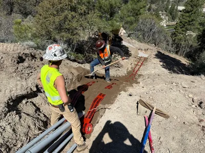
2m
backfill
trench-backfillingmaterial-spreading
shovel
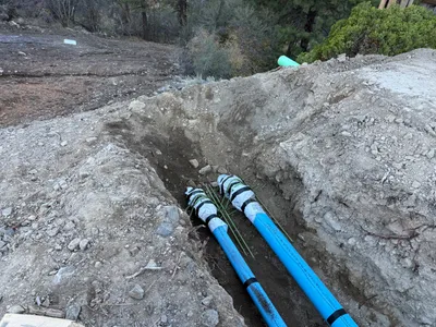
2m
pipeline installation
conduit-installationtrenching
conduits
2m
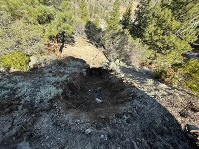
excavation
soil-disturbancehillside-excavation
2m
trenching
trenchingpipe-installation
soil
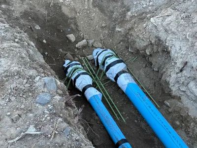
2m
pipeline installation
pipeline-installationpipes
rocky soil