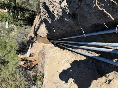
No caption
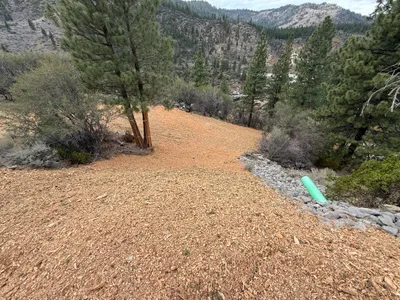
IMG_1073.JPG
Details
39.39153, -120.02139· 1678m
Location Context
1 / 5
USGS Topo
No elevation data
FEMA Flood
No flood data
OSM Infra
No address data
USDA Soil
No soil data
USGS Hydro
No hydro data
Show all EXIF (43 fields)
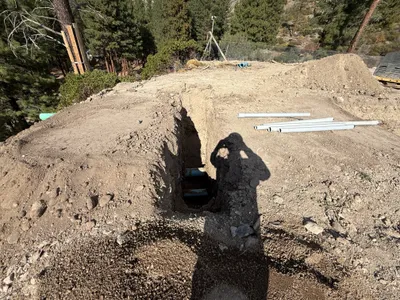
AI Analysis
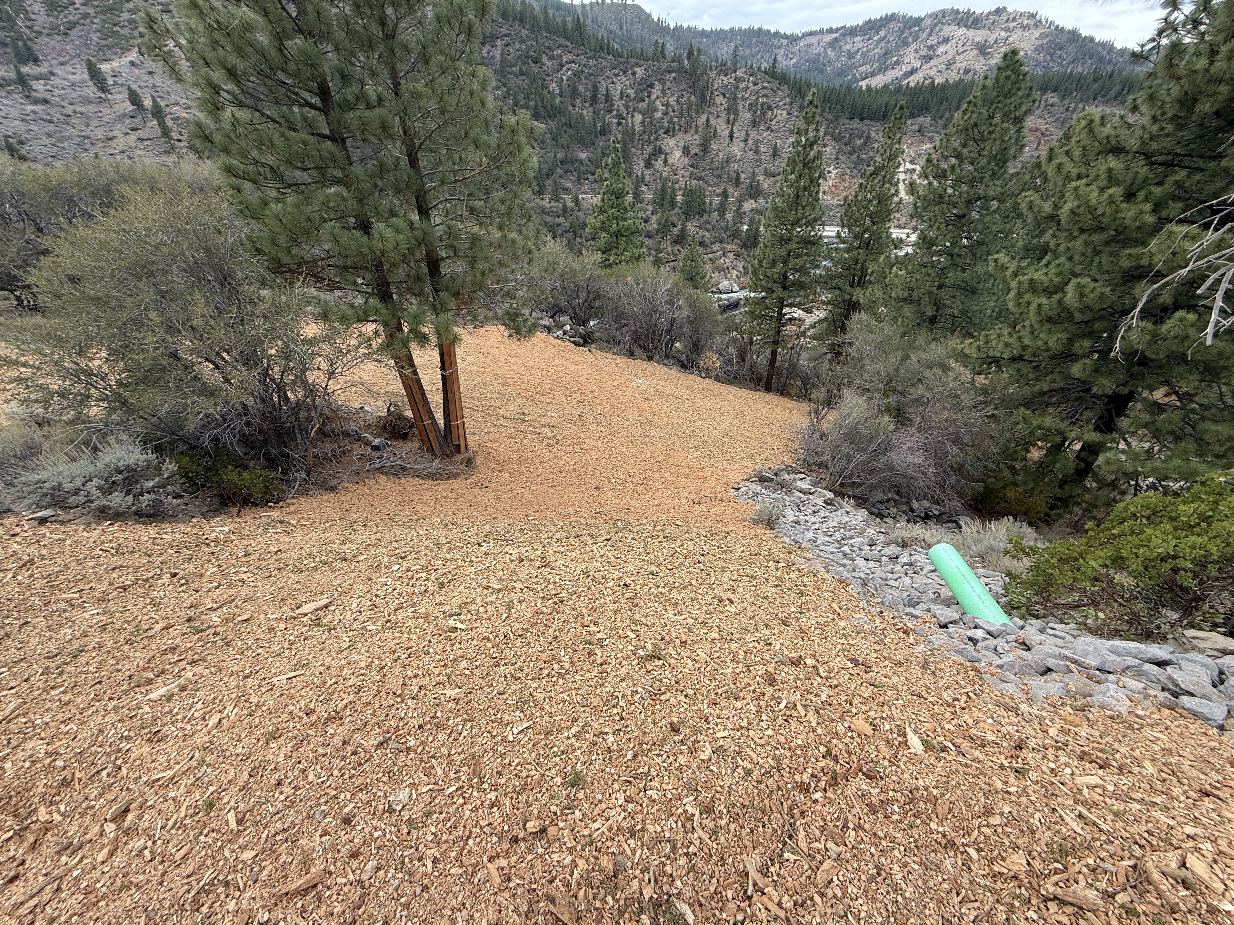
The image depicts an area undergoing slope stabilization with wood chips spread across the slope. A green pipe is visible to the right, partially embedded in a section of rocky ground. Trees and natural vegetation are also present around the slope. The overall terrain appears sloped with a forested background implying ongoing stabilization efforts.
Equipment & Materials
AI Tags
Analyzed Apr 21, 2026
Nearby Photos
0m
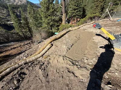
swppp erosion control
1m
site grading
1m
pipeline installation
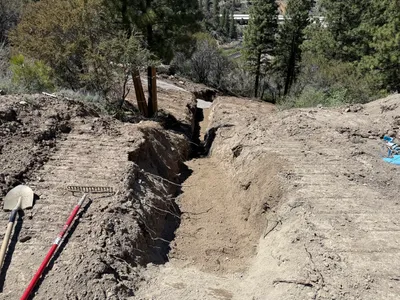
2m
trenching
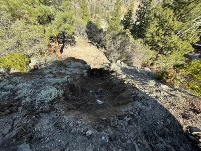
2m
excavation
2m
site grading
3m
trenching
3m
site grading
3m
trenching
3m
trenching