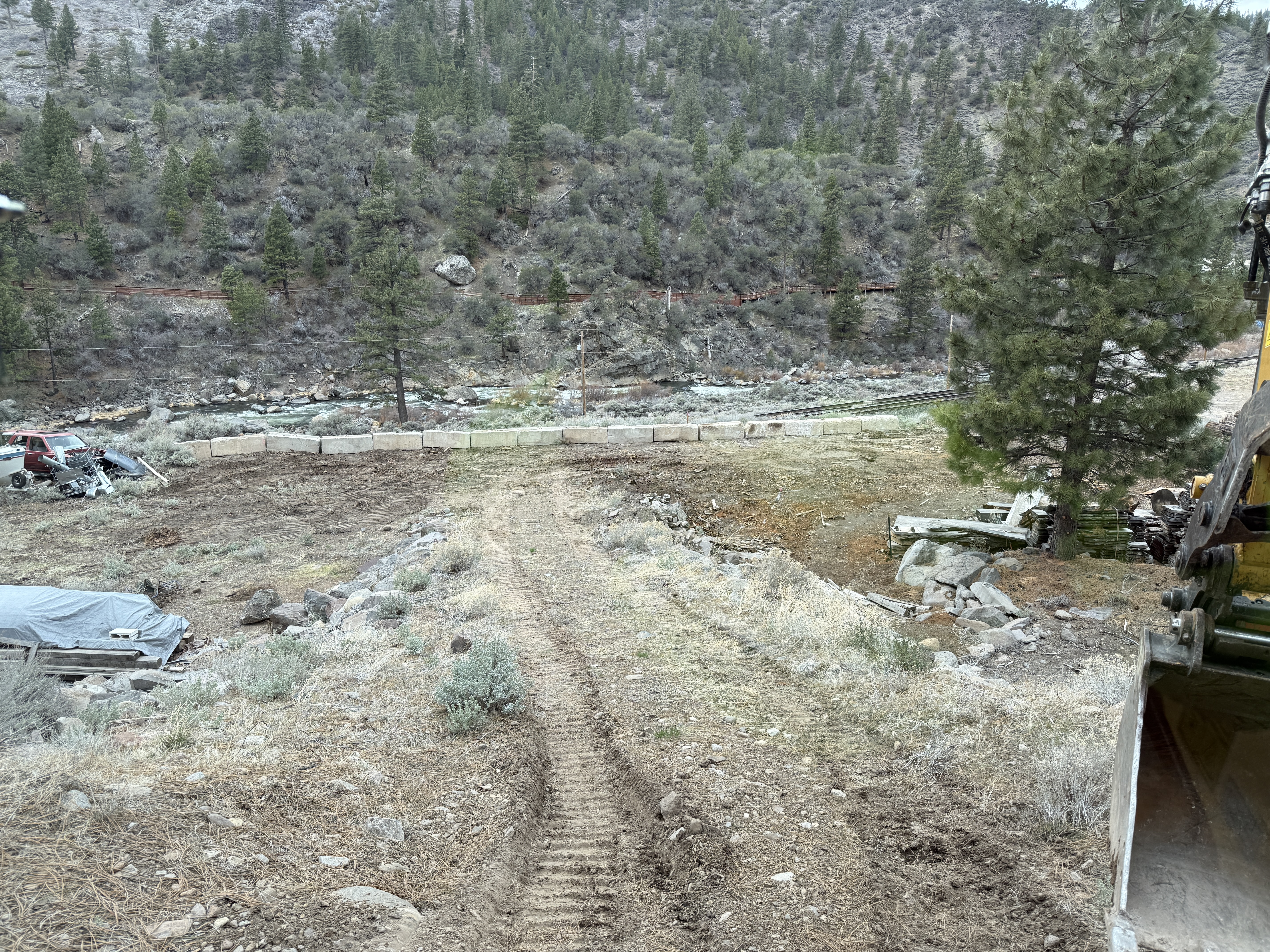
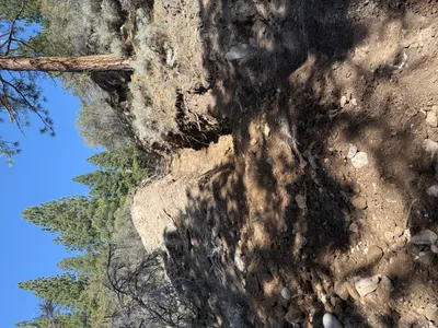
No caption
IMG_7102.JPG
Details
39.39206, -120.02207· 1542m
Location Context
1 / 5
USGS Topo
No elevation data
FEMA Flood
No flood data
OSM Infra
No address data
USDA Soil
No soil data
USGS Hydro
No hydro data
Show all EXIF (43 fields)
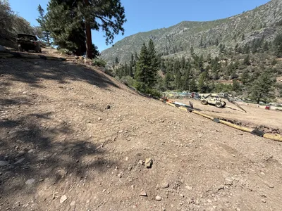
AI Analysis
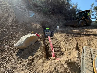
The image shows a site with grading activity and an excavator bucket visible on the right. There is a dirt path with track marks leading towards concrete barriers in the distance. The area is surrounded by natural landscape with trees and a river. Some debris or scrap materials like a covered vehicle and metal objects are visible to the left.
AI Tags
Analyzed Apr 21, 2026
Nearby Photos
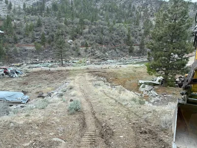
7m
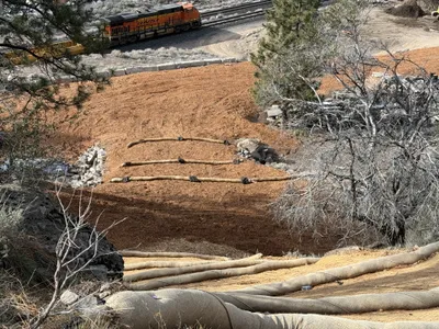
swppp erosion control
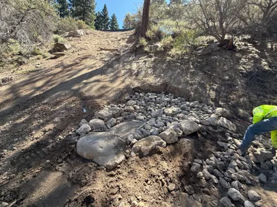
7m
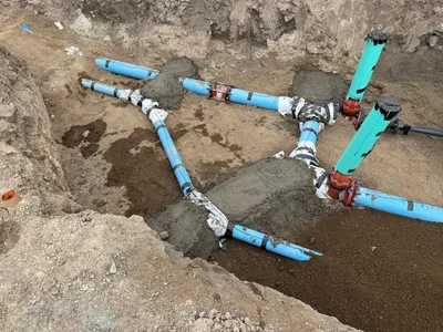
pipeline installation
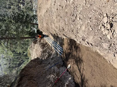
10m
trenching
10m
swppp erosion control
10m
swppp erosion control
11m
pipeline installation
11m
trenching

13m
mechanical installation
13m
mechanical installation
13m
trenching