
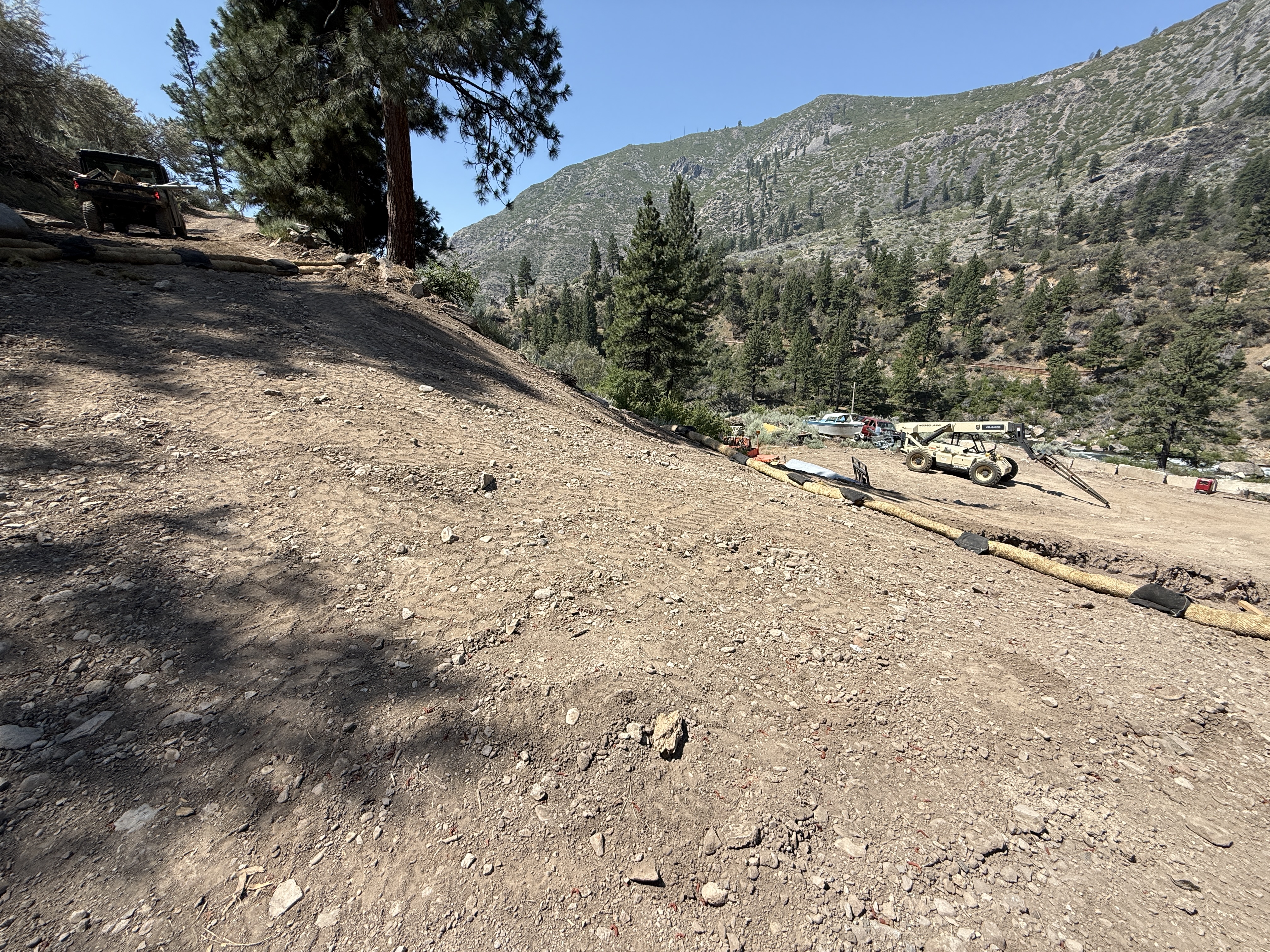
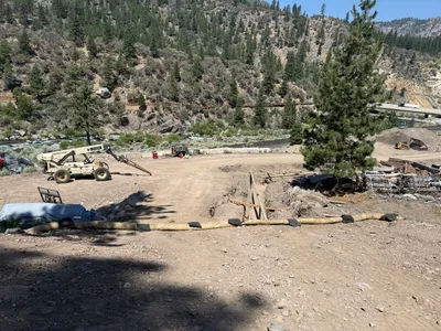
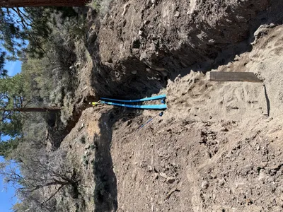
No caption
IMG_8728.JPG
Details
39.39202, -120.02219· 1642m
Location Context
1 / 5
USGS Topo
No elevation data
FEMA Flood
No flood data
OSM Infra
No address data
USDA Soil
No soil data
USGS Hydro
No hydro data
Show all EXIF (43 fields)
AI Analysis
The image shows a sloped dirt area with erosion control wattles placed along the contour to prevent runoff. Two pieces of heavy equipment, including a utility vehicle and a telescopic handler, are present on the site. The area is surrounded by trees and hills, indicating a forested mountainous location. No workers or active construction work are visible in the frame.
Equipment & Materials
AI Tags
Analyzed Apr 21, 2026
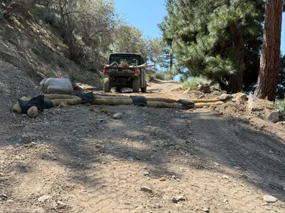
Nearby Photos
3m
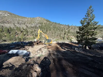
swppp erosion control
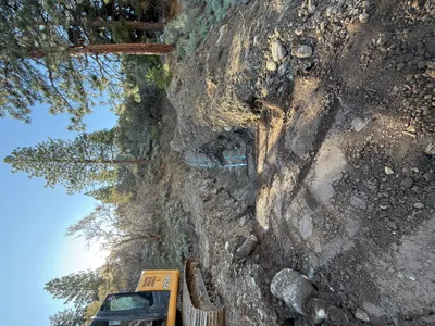
5m
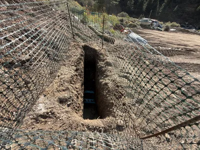
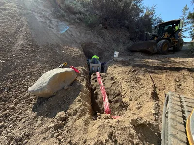
trenching
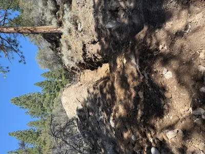
5m
trenching
6m
trenching
7m
swppp erosion control
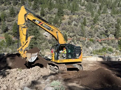
7m
excavation
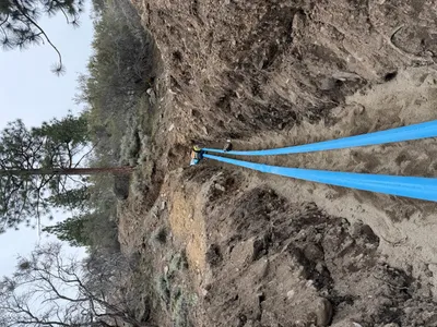
8m
pipeline installation
8m
trenching
8m
excavation
8m
trenching