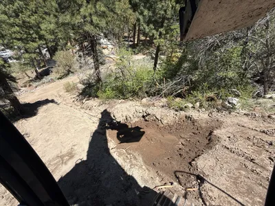
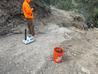
No caption
IMG_7347.JPG
Details
39.39221, -120.02194· 1651m
Location Context
1 / 5
USGS Topo
No elevation data
FEMA Flood
No flood data
OSM Infra
No address data
USDA Soil
No soil data
USGS Hydro
No hydro data
Show all EXIF (43 fields)
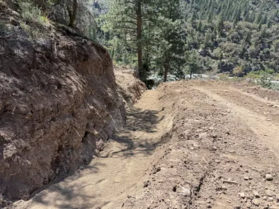
AI Analysis
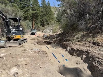
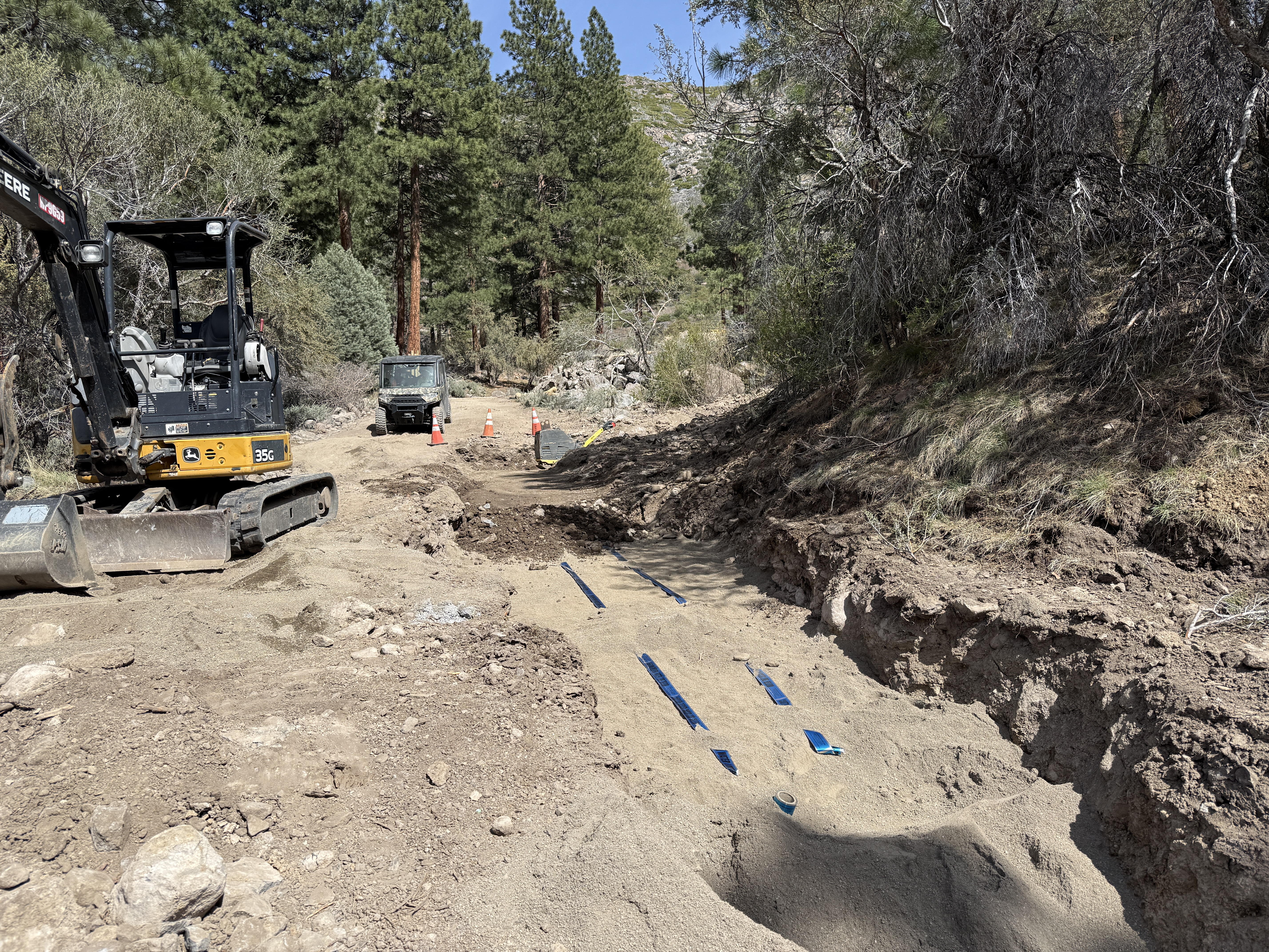
The image shows a trenching operation with an excavator on the left side of a rugged dirt pathway. There is a shallow trench with visible blue trench protection strips on the right. Traffic cones and a utility vehicle can also be seen further down the pathway, indicating ongoing work. The area is surrounded by trees and the terrain appears uneven.
Equipment & Materials
Analyzed Apr 21, 2026
Nearby Photos
4m
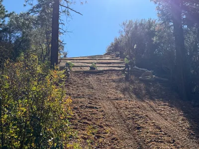
site grading
5m
pipeline installation
8m
excavation
8m
swppp erosion control

8m
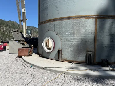
mechanical installation
8m
mechanical installation
9m
site grading
10m
survey layout
10m
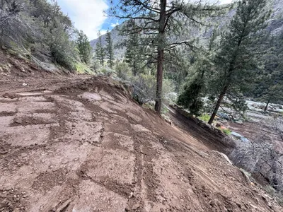
trenching
11m
trenching