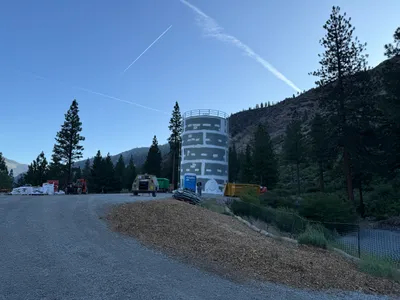
No caption
IMG_7680.JPG
Details
Thursday, May 8, 2025 · 2:21 PM
39.39230, -120.02189· 1637m
Location Context
1 / 5
USGS Topo
No elevation data
FEMA Flood
No flood data
OSM Infra
No address data
USDA Soil
No soil data
USGS Hydro
No hydro data
Apple iPhone 16 Pro
iPhone 16 Pro back triple camera 6.765mm f/1.78
6.764999865652793mmf/1.7799999713880651/2000sISO 80
Flash did not fire, compulsory flash mode
Show all EXIF (43 fields)
ApertureValue1.6638
BrightnessValue8.5909
ColorSpace65535
CompositeImageGeneral Composite Image
ExifImageHeight4284
ExifVersion2.3.2
ExposureCompensation0
ExposureModeAuto
ExposureProgramNormal program
FlashpixVersion1.0
FocalLengthIn35mmFormat24
GPSDateStamp2025:05:08
GPSDestBearing256.0030
GPSDestBearingRefTrue North
GPSHPositioningError48.0595
GPSImgDirection256.0030
GPSImgDirectionRefT
GPSSpeed0
GPSSpeedRefK
GPSTimeStamp21:21:16
HostComputeriPhone 16 Pro
latitude39.3923
LensInfo2.2200, 15.6600, 1.7800, 2.8000
LensMakeApple
longitude-120.0219
MeteringModePattern
ModifyDate2025-05-08T14:21:18.000Z
OffsetTime-07:00
OffsetTimeDigitized-07:00
OffsetTimeOriginal-07:00
ResolutionUnitinches
SceneCaptureTypeStandard
SceneTypeDirectly photographed
SensingMethodOne-chip color area sensor
ShutterSpeedValue10.9658
Software18.5
SubjectArea{"0":2851,"1":2137,"2":3141,"3":1884}
SubSecTimeDigitized712
SubSecTimeOriginal712
WhiteBalanceAuto
XResolution72
YCbCrPositioning1
YResolution72
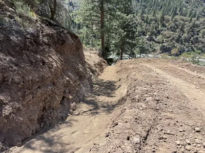
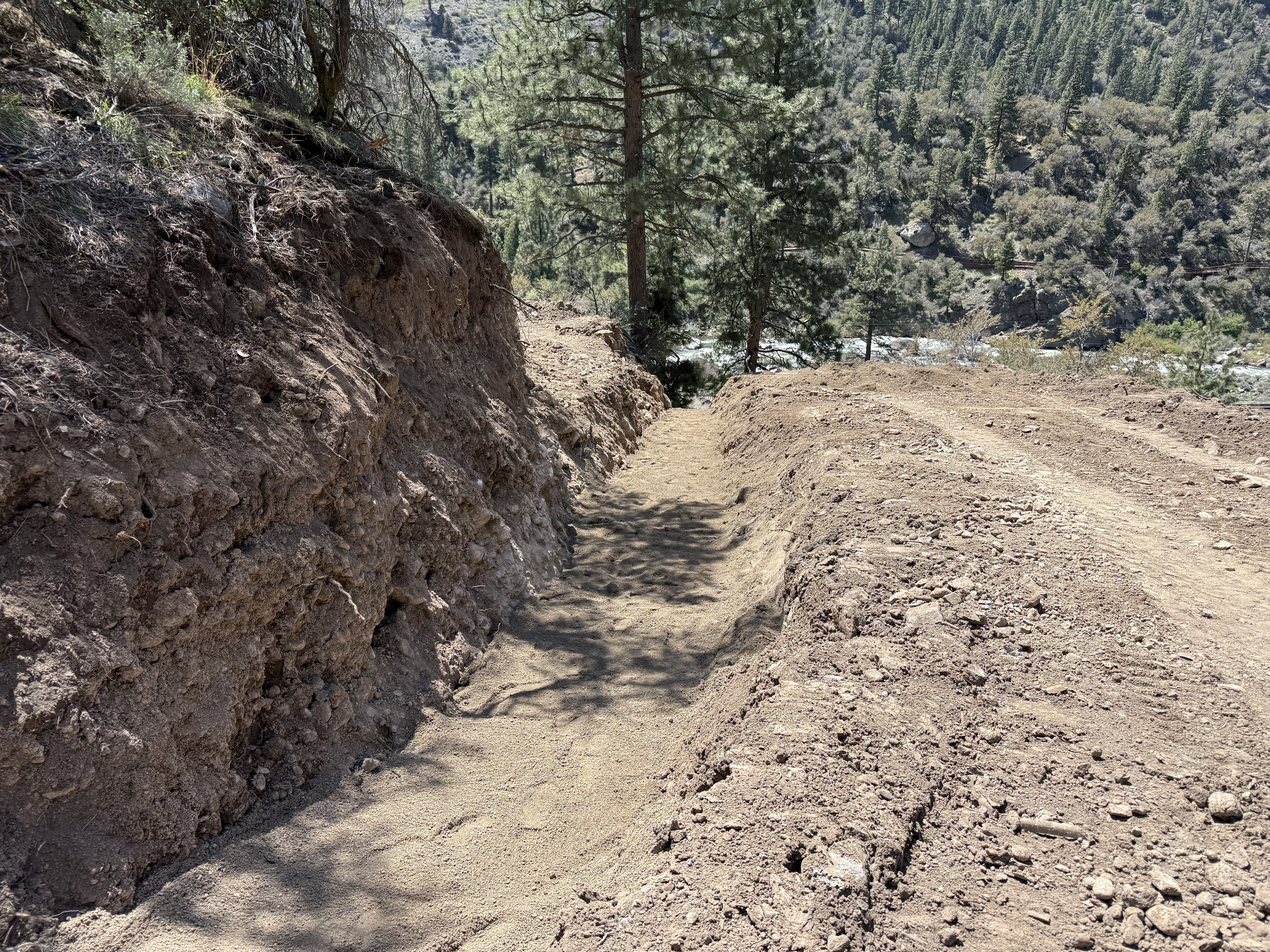
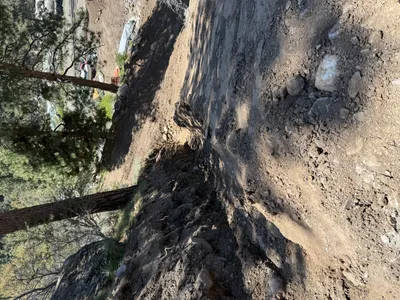
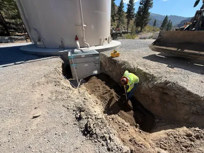
AI Analysis
The image shows a trench dug into a dirt slope, running parallel to a cleared path. The trench is relatively narrow and deep. There are no visible signs of installed materials or components. The surrounding terrain is wooded, suggesting a rural location.
trenching
dry, compact dirt with a narrow trench sunny and clear open access with no visible congestion
No safety features are visible in frame.
Analyzed Apr 21, 2026
Nearby Photos
9m
swppp erosion control
erosion-control-installationslope-stabilization
erosion-control-mats
9m
excavation
excavationearth-moving
excavator (inferred)
10m
site grading
gradingearthwork
dirt
10m
trenching
trenchingpipeline-installation
excavator
11m
trenching
trenchingpipeline-work
excavator
11m
trenching
trenchingtrench
excavator
13m
other
site-preparationcylindrical-structure
loader
14m
trenching
trenchingfinished-water-tank
bulldozer
14m
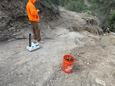
survey layout
soil-testingsite-inspection
handheld-device
15m
site grading
gravel-layingsite-clearing
tripod