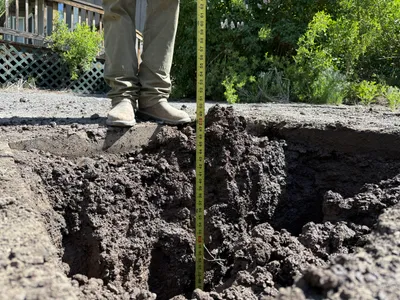
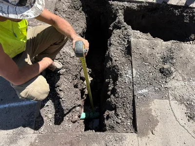
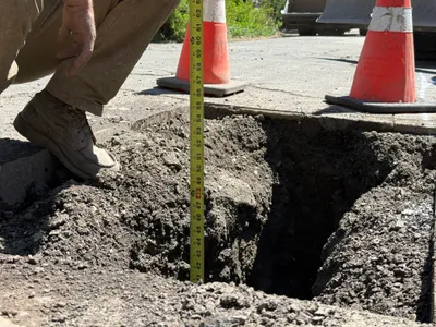
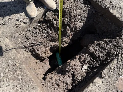
No caption
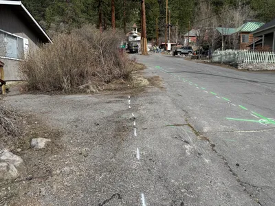
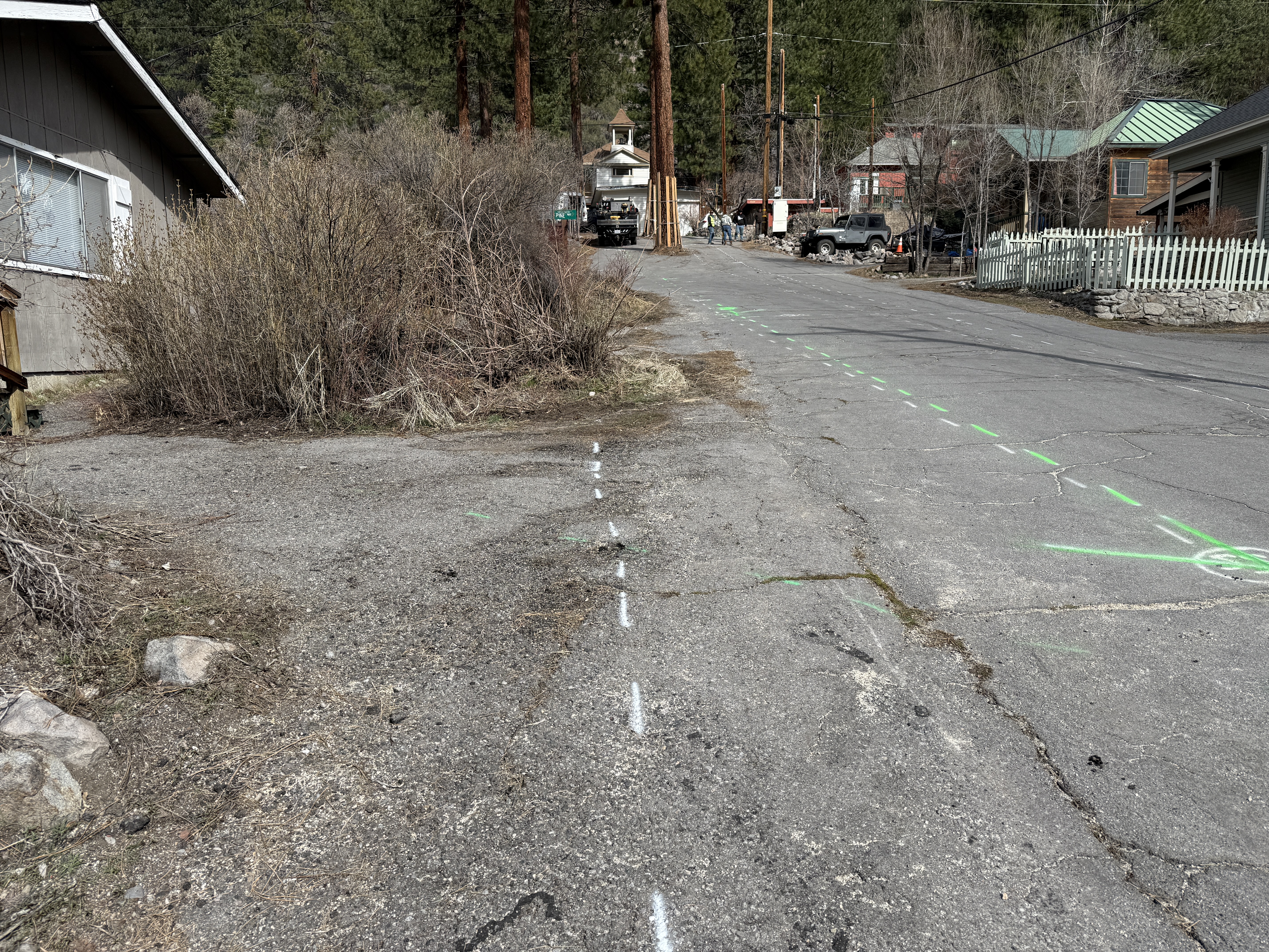
IMG_7033.JPG
Details
39.39477, -120.02166· 1645m
Location Context
1 / 5
USGS Topo
No elevation data
FEMA Flood
No flood data
OSM Infra
No address data
USDA Soil
No soil data
USGS Hydro
No hydro data
Show all EXIF (43 fields)
AI Analysis
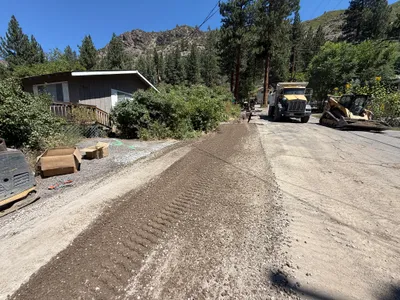
The image shows green and white street markings on a paved road, likely indicating alignment for a future waterline installation. Vegetation and a residential structure are visible on the left side of the road, while a picket fence runs parallel on the right. The scene includes nearby residential houses and power lines overhead. No active construction equipment or personnel are in view.
Analyzed Apr 21, 2026
Nearby Photos
2m
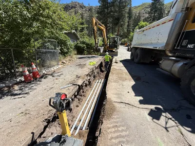
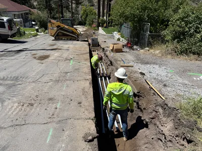
trenching
2m
pipeline installation
5m
excavation
5m
trenching
6m
excavation
6m
excavation
6m
paving surface restoration
7m
pipeline installation
7m
pipeline installation
7m
pipeline installation