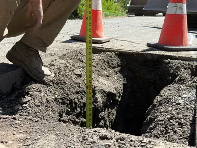
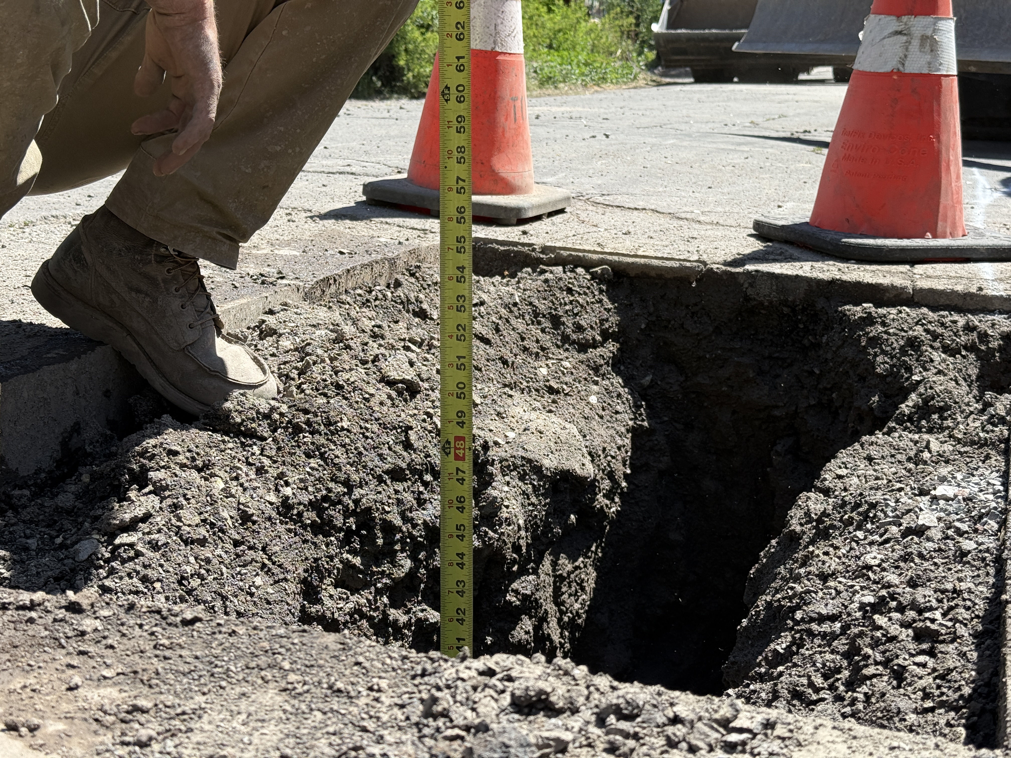
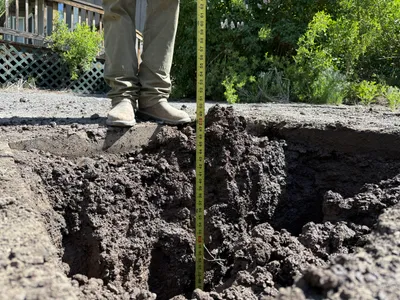
No caption
IMG_7992 2.JPG
Details
39.39472, -120.02165· 1646m
Location Context
1 / 5
USGS Topo
No elevation data
FEMA Flood
No flood data
OSM Infra
No address data
USDA Soil
No soil data
USGS Hydro
No hydro data
Show all EXIF (43 fields)
AI Analysis
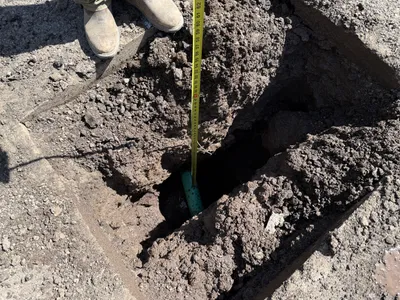
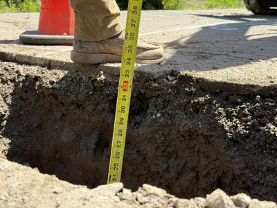
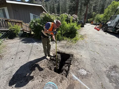
A worker is crouching beside a pothole on a pavement, using a tape measure to determine its depth. Traffic cones are placed nearby, indicating a controlled site setup. The soil appears loose and freshly excavated, with no specific utility components visible in the hole. The image suggests the activity is related to utility locating, possibly for future construction or repairs.
Equipment & Materials
Analyzed Apr 21, 2026
Nearby Photos
0m
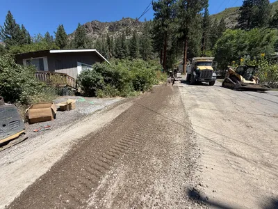
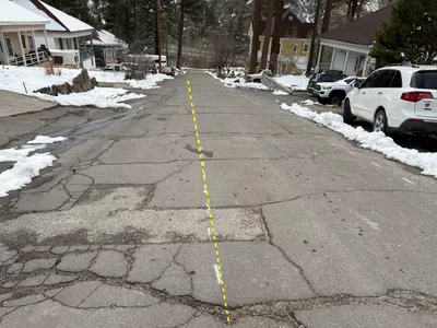
trenching
0m
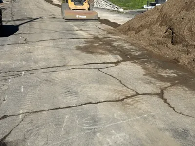
paving surface restoration
2m
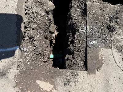
excavation
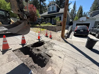
2m
excavation
3m
excavation
3m
excavation
3m
paving surface restoration
3m
excavation
4m
paving surface restoration
4m
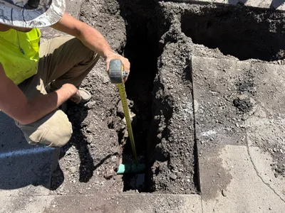
pothole utility locating