
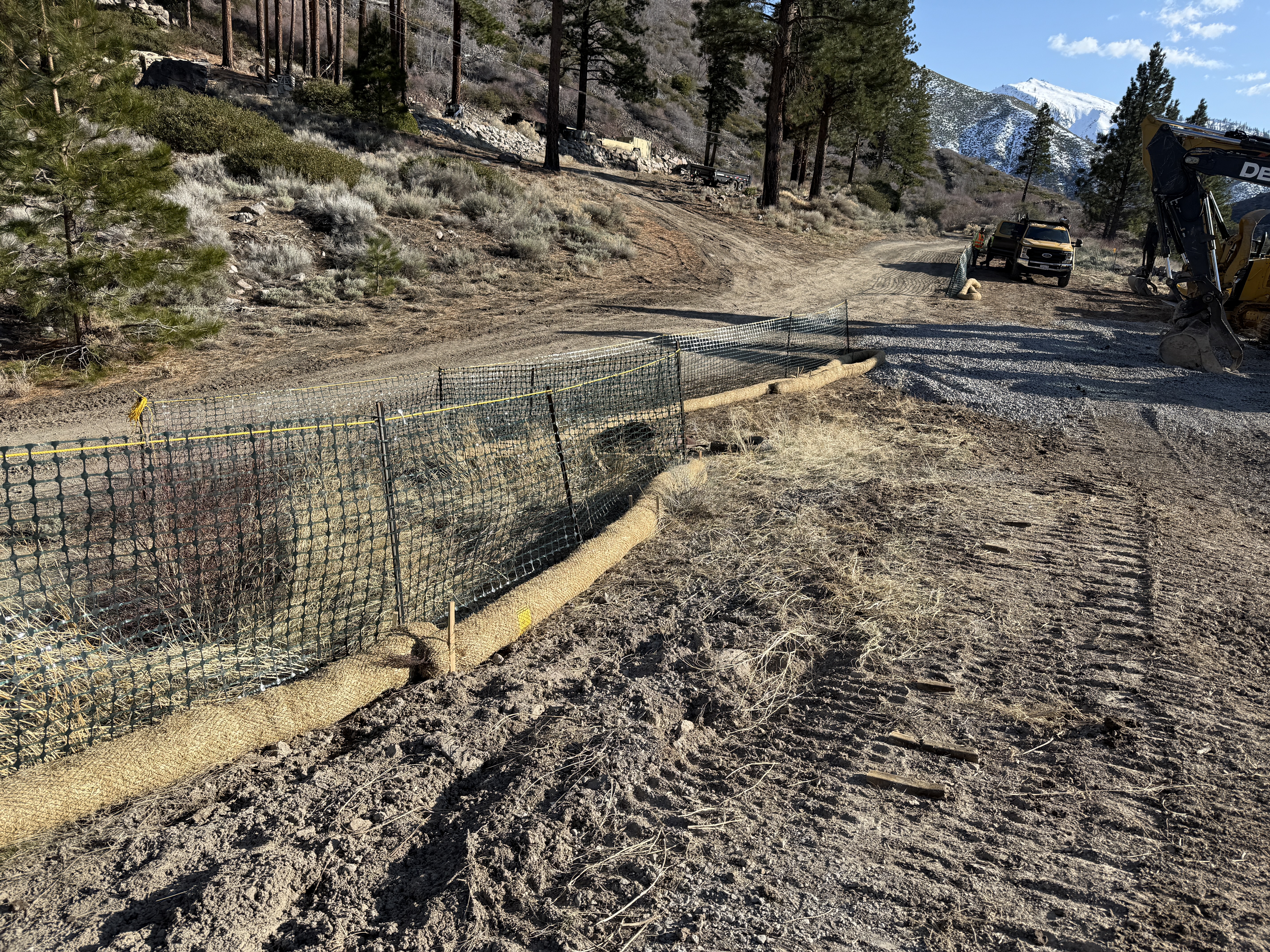
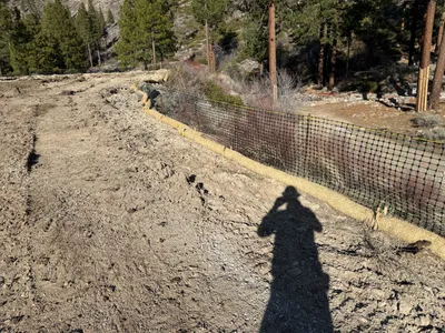
No caption
IMG_6547.JPG
Details
39.39113, -120.02132· 1679m
Location Context
1 / 5
USGS Topo
No elevation data
FEMA Flood
No flood data
OSM Infra
No address data
USDA Soil
No soil data
USGS Hydro
No hydro data
Show all EXIF (43 fields)
AI Analysis
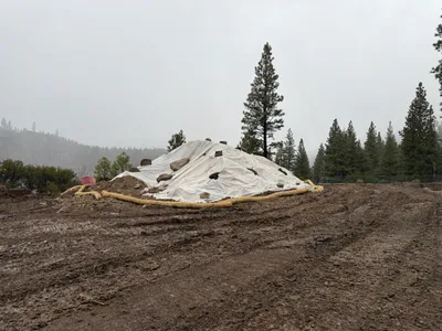
The image shows a dirt roadway with sediment control fencing running parallel to it. Erosion control wattles are placed along the edge of the fencing. There are pine trees in the background, and loose gravel lies on the roadway. Construction equipment and a vehicle are visible further along the road.
Equipment & Materials
AI Tags
Analyzed Apr 21, 2026
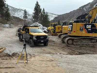
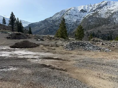
Nearby Photos
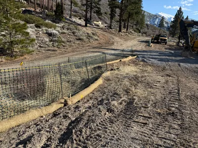
swppp erosion control
1m
survey layout
2m
swppp erosion control

2m
site grading
2m
swppp erosion control
2m
site grading

2m
swppp erosion control
2m
excavation
3m
swppp erosion control
3m
swppp erosion control