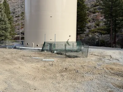
No caption
IMG_8916.JPG
Details
39.39130, -120.02136· 1691m
Location Context
1 / 5
USGS Topo
No elevation data
FEMA Flood
No flood data
OSM Infra
No address data
USDA Soil
No soil data
USGS Hydro
No hydro data
Show all EXIF (43 fields)
AI Analysis
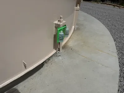
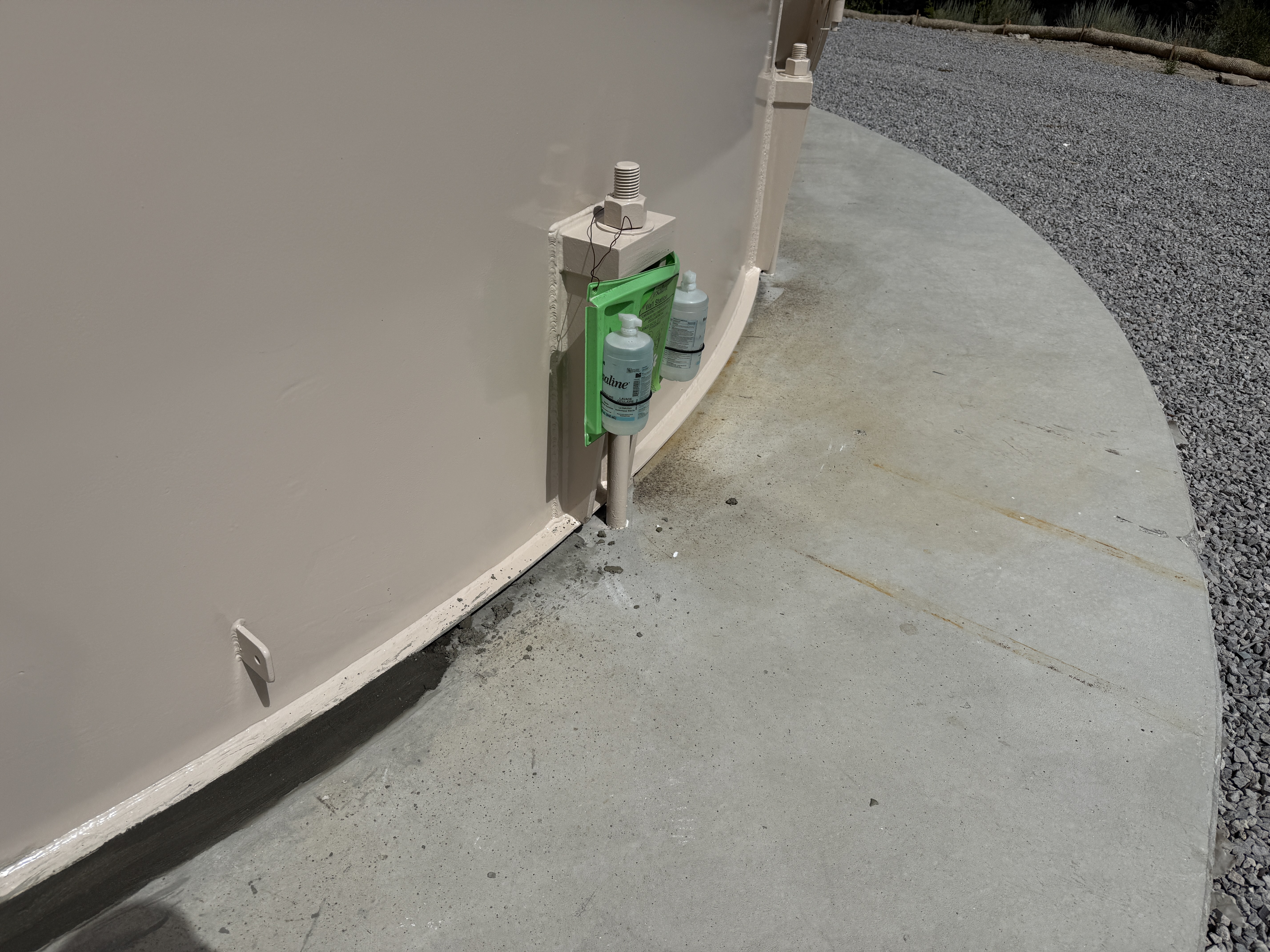
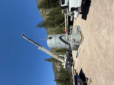
The image captures the base perimeter of a large tank, showing concrete flooring. A drainage pipe system is connected to the tank, with small collection bottles attached or placed nearby. The drainage area appears to have minor stains on the concrete, possibly due to liquid accumulation or spillage. The surrounding area includes gravel, indicating it may be part of a tank foundation or pad.
Equipment & Materials
AI Tags
Analyzed Apr 21, 2026
Nearby Photos
1m
swppp erosion control
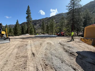
3m
site grading
3m
swppp erosion control
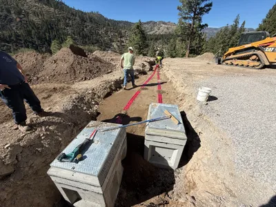
4m
trenching
4m
site grading
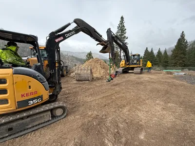
5m
excavation
6m
mechanical installation
6m
site grading
6m
site grading
6m
site grading