No caption
IMG_2760.JPG
Details
Friday, January 30, 2026 · 11:31 AM
39.39127, -120.02138· 1681m
Location Context
1 / 5
USGS Topo
No elevation data
FEMA Flood
No flood data
OSM Infra
No address data
USDA Soil
No soil data
USGS Hydro
No hydro data
Apple iPhone 16 Pro
iPhone 16 Pro back triple camera 6.765mm f/1.78
6.764999865652793mmf/1.7799999713880651/4878sISO 64
Flash did not fire, compulsory flash mode
Show all EXIF (43 fields)
ApertureValue1.6638
BrightnessValue10.1514
ColorSpace65535
CompositeImageGeneral Composite Image
ExifImageHeight3024
ExifVersion2.3.2
ExposureCompensation0
ExposureModeAuto
ExposureProgramNormal program
FlashpixVersion1.0
FocalLengthIn35mmFormat48
GPSDateStamp2026:01:30
GPSDestBearing11.8344
GPSDestBearingRefTrue North
GPSHPositioningError4.8448
GPSImgDirection11.8344
GPSImgDirectionRefT
GPSSpeed0
GPSSpeedRefK
GPSTimeStamp19:31:40
HostComputeriPhone 16 Pro
latitude39.3913
LensInfo2.2200, 15.6600, 1.7800, 2.8000
LensMakeApple
longitude-120.0214
MeteringModePattern
ModifyDate2026-01-30T11:31:40.000Z
OffsetTime-08:00
OffsetTimeDigitized-08:00
OffsetTimeOriginal-08:00
ResolutionUnitinches
SceneCaptureTypeStandard
SceneTypeDirectly photographed
SensingMethodOne-chip color area sensor
ShutterSpeedValue12.2521
Software26.2.1
SubjectArea{"0":2011,"1":1507,"2":1107,"3":662}
SubSecTimeDigitized519
SubSecTimeOriginal519
WhiteBalanceAuto
XResolution72
YCbCrPositioning1
YResolution72
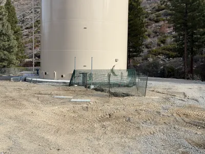
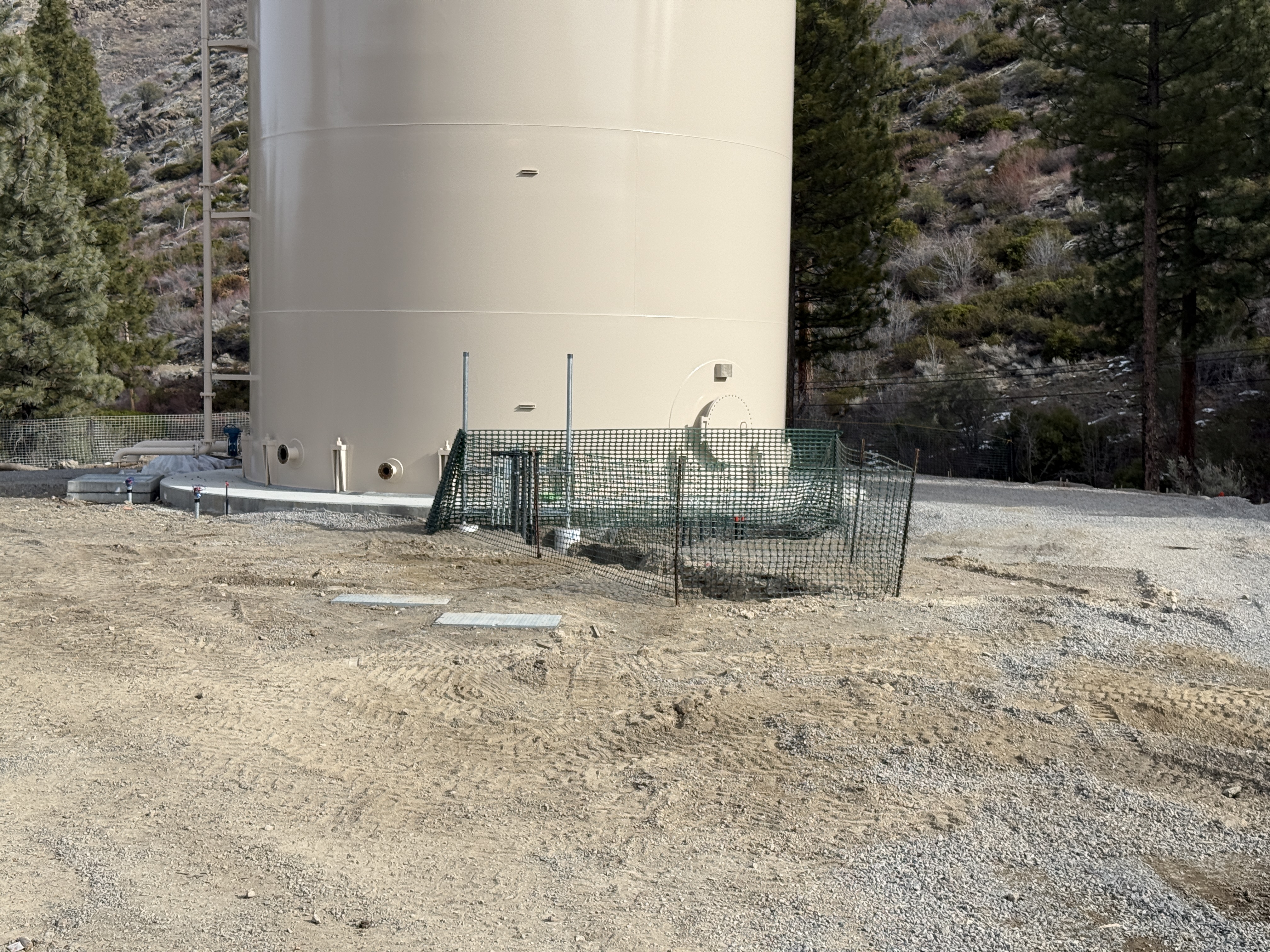
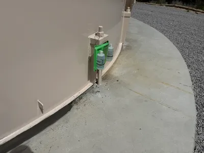
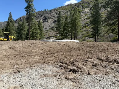
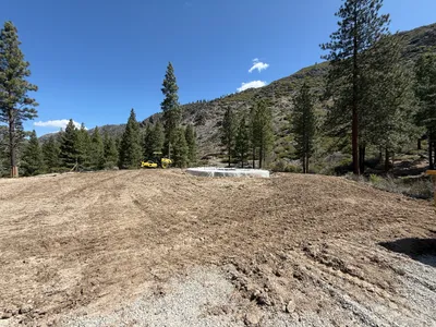
AI Analysis
The image shows a large tan storage tank situated in a gravel area with nearby temporary construction fencing, likely for SWPPP erosion control purposes. The fencing appears to be a temporary green mesh surrounding the tank's foundation. Some pipes protrude from the base of the tank, suggesting connections or drainage features.
swppp-erosion-control
gravel surface clear conditions with natural light open area with accessible gravel surface
Temporary fencing is present as a safety control measure around the storage tank.
Equipment & Materials
AI Tags
Analyzed Apr 21, 2026
Nearby Photos
3m
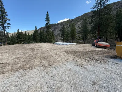
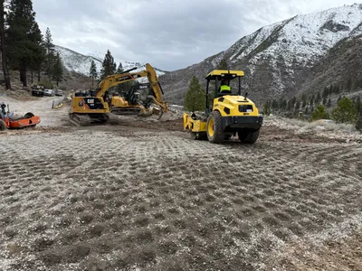
site grading
site-gradingroller-compactor
roller-compactor
3m
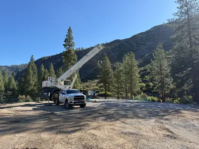
other
crane-setupcrane
crane
3m
site grading
site-gradingearthwork
excavator
3m
other
drainage-installationtank-setup
concrete
3m
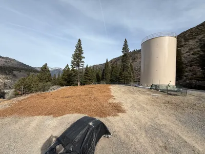
swppp erosion control
mulch-applicationerosion-control
mulch
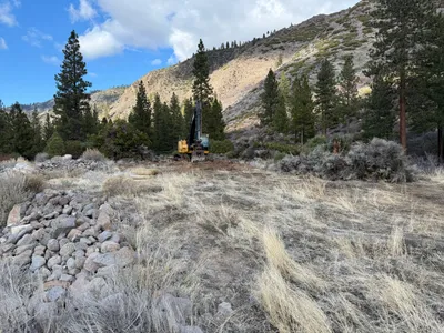
4m
excavation
excavationland-clearing
excavator
4m
site grading
site-gradingroller
roller
4m
site grading
site-gradingcompaction
roller compactor
4m
site grading
site-gradingroller
roller
4m
site grading
site-gradingsoil-compaction
roller-compactor