
No caption
IMG_2759.JPG
Details
Friday, January 30, 2026 · 11:31 AM
39.39130, -120.02137· 1677m
Location Context
1 / 5
USGS Topo
No elevation data
FEMA Flood
No flood data
OSM Infra
No address data
USDA Soil
No soil data
USGS Hydro
No hydro data
Apple iPhone 16 Pro
iPhone 16 Pro back triple camera 2.22mm f/2.2
2.220000028611935mmf/2.21/2165sISO 50
Flash did not fire, compulsory flash mode
Show all EXIF (43 fields)
ApertureValue2.2750
BrightnessValue10.2638
ColorSpace65535
CompositeImageGeneral Composite Image
ExifImageHeight3024
ExifVersion2.3.2
ExposureCompensation0
ExposureModeAuto
ExposureProgramNormal program
FlashpixVersion1.0
FocalLengthIn35mmFormat14
GPSDateStamp2026:01:30
GPSDestBearing329.3976
GPSDestBearingRefTrue North
GPSHPositioningError9.3916
GPSImgDirection329.3976
GPSImgDirectionRefT
GPSSpeed0.4247
GPSSpeedRefK
GPSTimeStamp19:31:32
HostComputeriPhone 16 Pro
latitude39.3913
LensInfo2.2200, 15.6600, 1.7800, 2.8000
LensMakeApple
longitude-120.0214
MeteringModePattern
ModifyDate2026-01-30T11:31:32.000Z
OffsetTime-08:00
OffsetTimeDigitized-08:00
OffsetTimeOriginal-08:00
ResolutionUnitinches
SceneCaptureTypeStandard
SceneTypeDirectly photographed
SensingMethodOne-chip color area sensor
ShutterSpeedValue11.0798
Software26.2.1
SubjectArea{"0":2002,"1":1511,"2":2218,"3":1328}
SubSecTimeDigitized803
SubSecTimeOriginal803
WhiteBalanceAuto
XResolution72
YCbCrPositioning1
YResolution72
AI Analysis
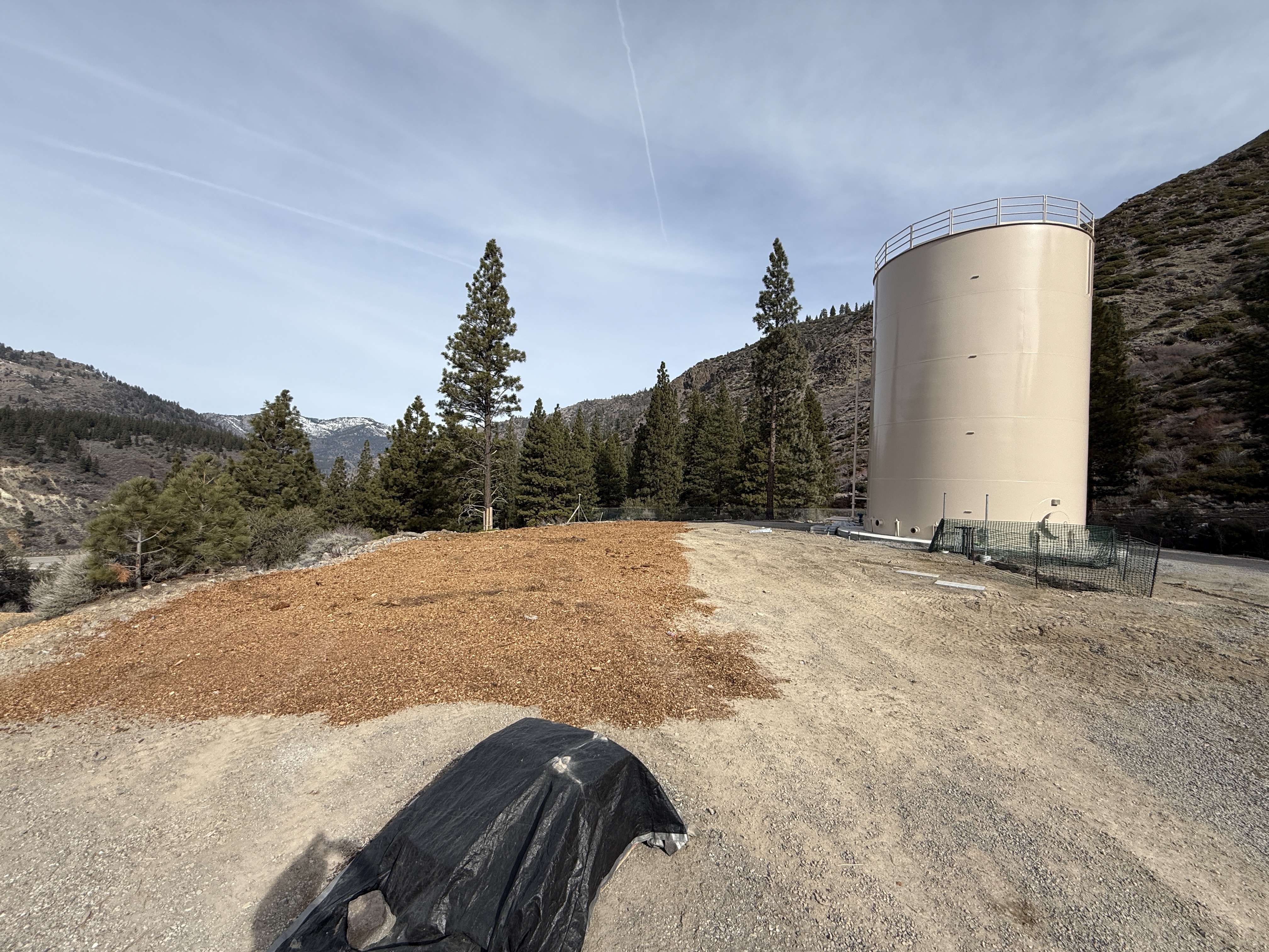
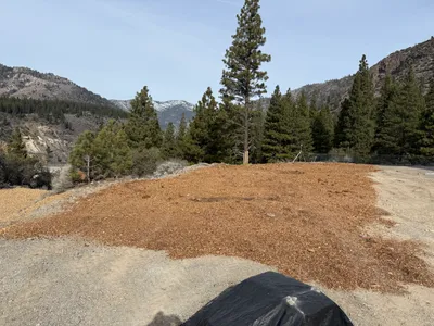
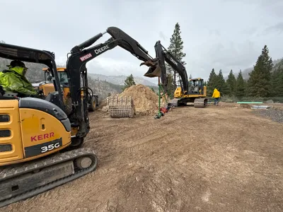
A large cylindrical structure is positioned to the right side of the image. To the left, a section of land is covered with mulch, surrounded by trees. The ground appears to be gravel with some patches of soil visible. There is a black plastic tarp covering an object in the foreground.
swppp-erosion-control
gravel and soil clear daylight conditions visibly open area with no congestion
Safety barriers like fences are visible around the structure.
Equipment & Materials
AI Tags
Analyzed Apr 21, 2026
Nearby Photos
1m
other
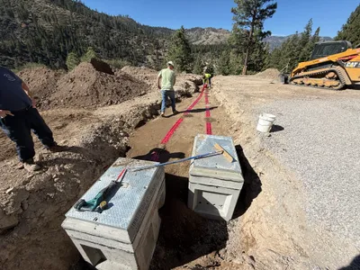
drainage-installationtank-setup
concrete
2m
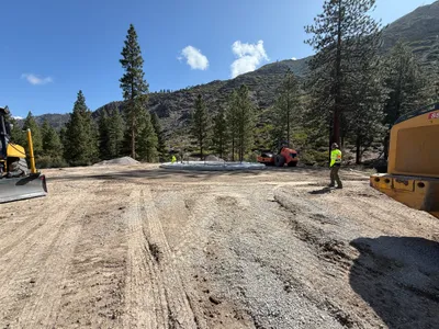
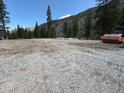
site grading
site-gradingroller-compactor
roller-compactor
3m
swppp erosion control
swppperosion-control
gravel
4m
trenching
duct-bank-installationtrenching
tracked-excavator
5m
site grading
grading-worksite-clearing
bulldozer
5m
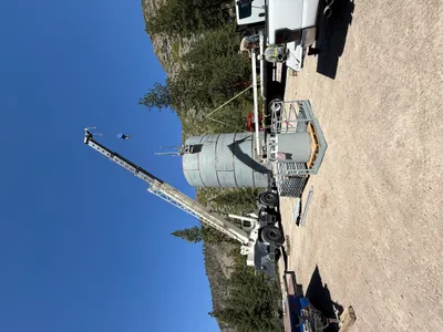
mechanical installation
crane-operationlifting-operation
crane
5m
swppp erosion control
mulch-spreadingerosion-control
mulch
5m
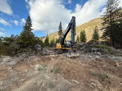
excavation
earth-movingexcavator-operation
excavator
6m
site grading
site-gradingsoil-compaction
roller-compactor
6m
site grading
excavation-workground-clearing
excavator