
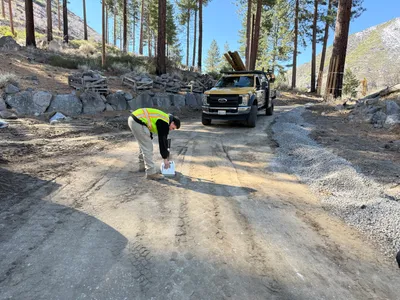
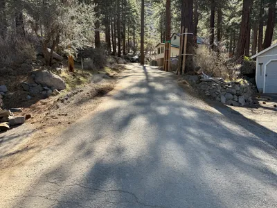
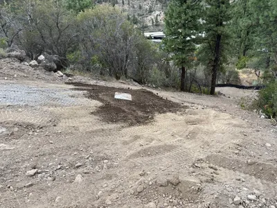
No caption
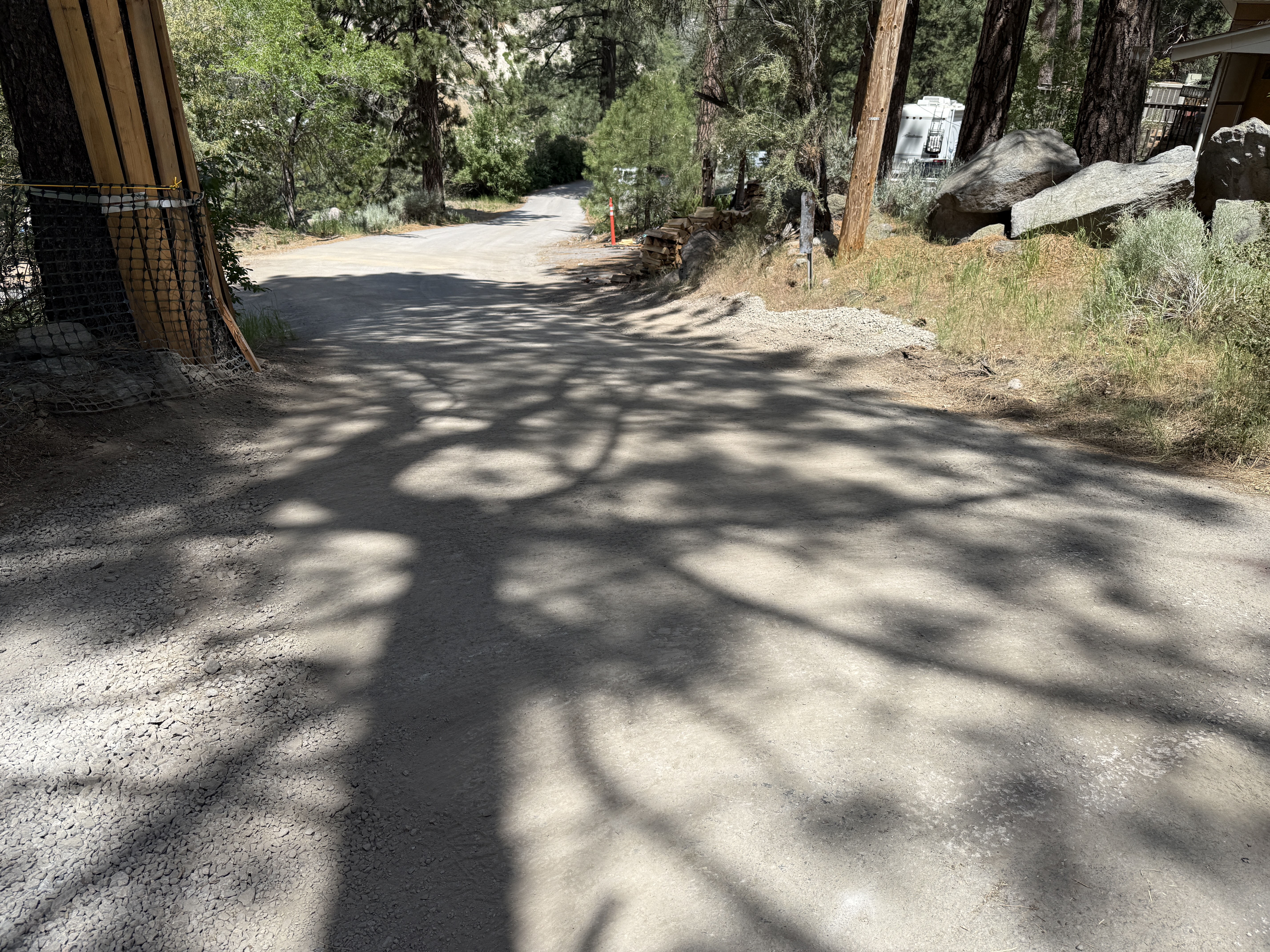
IMG_8238.JPG
Tags
Details
39.39256, -120.02151· 1660m
Location Context
1 / 5
USGS Topo
No elevation data
FEMA Flood
No flood data
OSM Infra
No address data
USDA Soil
No soil data
USGS Hydro
No hydro data
Show all EXIF (43 fields)
AI Analysis
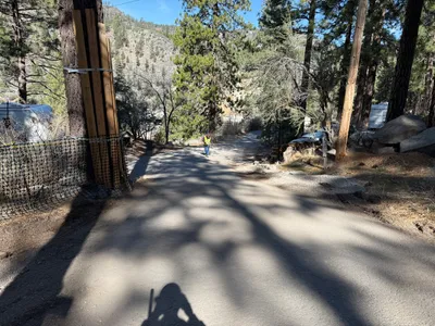
The image shows a dirt road within a wooded area, with distinct shadows cast by trees. On the left, there's a wooden structure attached to a tree, possibly for support or protection. To the right, boulders and greenery line the edge of the road. An RV or trailer is partially visible in the background, suggesting a nearby campsite or storage.
Equipment & Materials
Analyzed Apr 21, 2026
Nearby Photos
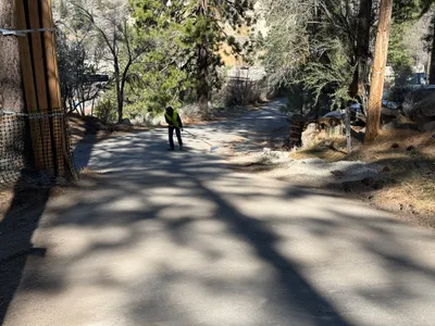
5m
other
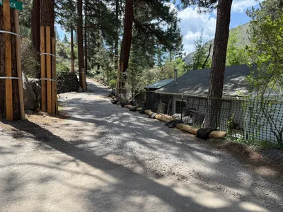
6m
swppp erosion control
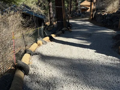
6m
swppp erosion control
14m
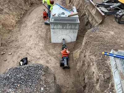
valve vault
19m
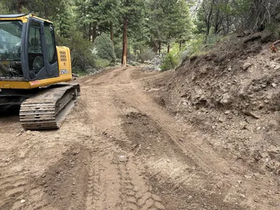
excavation
21m
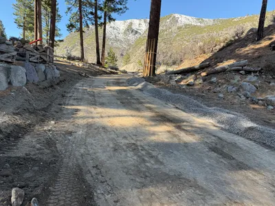
site grading
23m
other
25m
inspection documentation
27m
other
29m
site grading