
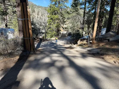
No caption
IMG_8239.JPG
Tags
Details
Thursday, June 5, 2025 · 12:01 PM
39.39261, -120.02154· 1660m
Location Context
1 / 5
USGS Topo
No elevation data
FEMA Flood
No flood data
OSM Infra
No address data
USDA Soil
No soil data
USGS Hydro
No hydro data
Apple iPhone 16 Pro
iPhone 16 Pro back triple camera 6.765mm f/1.78
6.764999865652793mmf/1.7799999713880651/2445sISO 100
Flash did not fire, compulsory flash mode
Show all EXIF (43 fields)
ApertureValue1.6638
BrightnessValue8.3274
ColorSpace65535
CompositeImageGeneral Composite Image
ExifImageHeight4284
ExifVersion2.3.2
ExposureCompensation0
ExposureModeAuto
ExposureProgramNormal program
FlashpixVersion1.0
FocalLengthIn35mmFormat24
GPSDateStamp2025:06:05
GPSDestBearing184.1379
GPSDestBearingRefTrue North
GPSHPositioningError4.3041
GPSImgDirection184.1379
GPSImgDirectionRefT
GPSSpeed0.0540
GPSSpeedRefK
GPSTimeStamp19:1:27
HostComputeriPhone 16 Pro
latitude39.3926
LensInfo2.2200, 15.6600, 1.7800, 2.8000
LensMakeApple
longitude-120.0215
MeteringModePattern
ModifyDate2025-06-05T12:01:28.000Z
OffsetTime-07:00
OffsetTimeDigitized-07:00
OffsetTimeOriginal-07:00
ResolutionUnitinches
SceneCaptureTypeStandard
SceneTypeDirectly photographed
SensingMethodOne-chip color area sensor
ShutterSpeedValue11.2556
Software18.5
SubjectArea{"0":2851,"1":2137,"2":3141,"3":1884}
SubSecTimeDigitized792
SubSecTimeOriginal792
WhiteBalanceAuto
XResolution72
YCbCrPositioning1
YResolution72
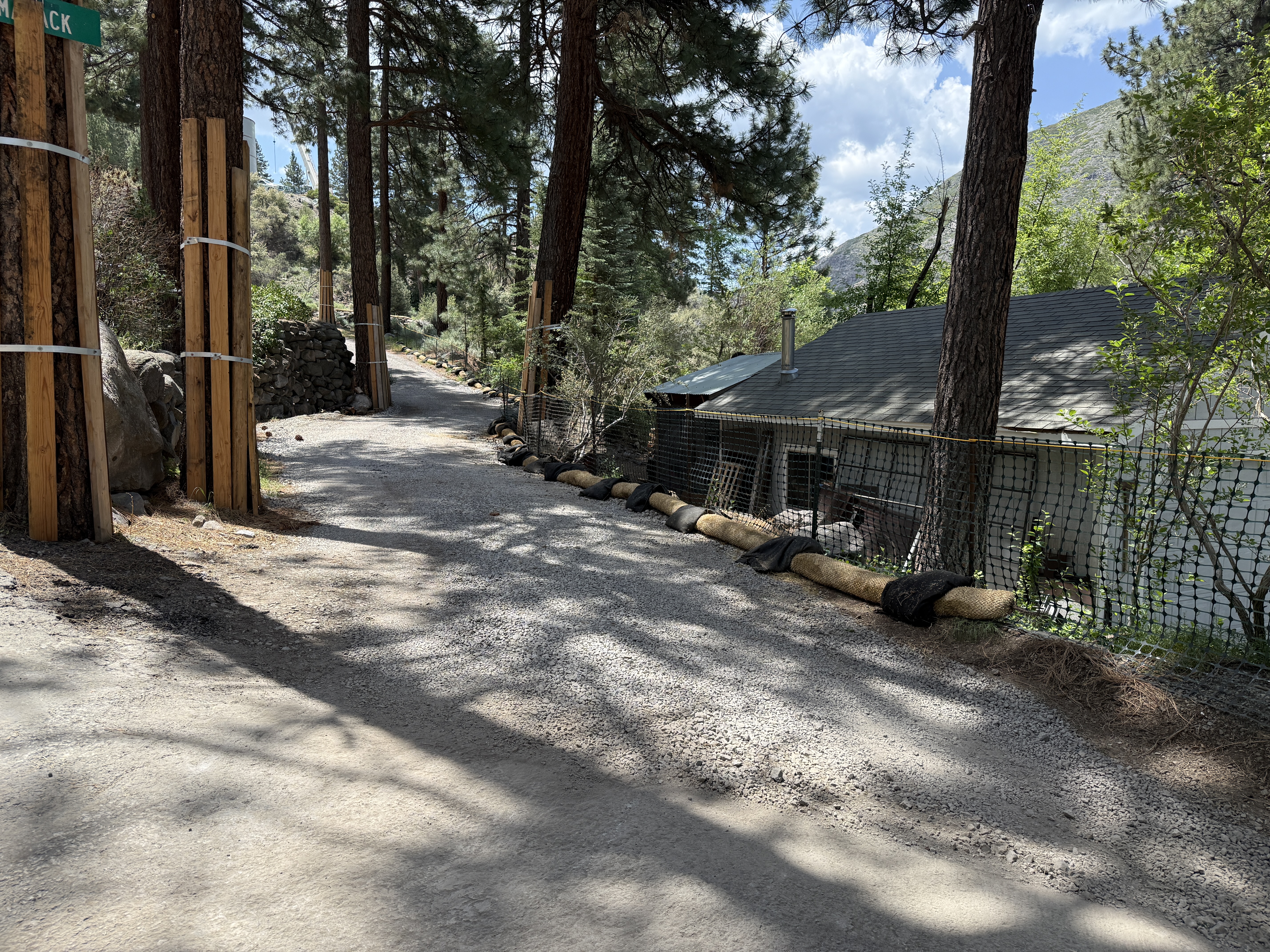
AI Analysis
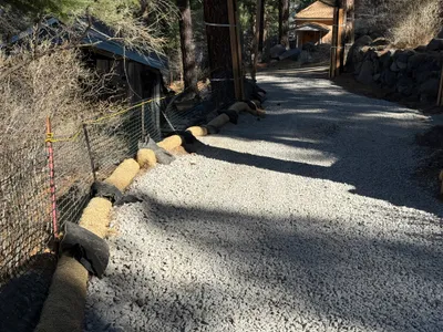
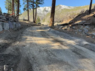
The image depicts a section of gravel path lined with straw wattles and protective netting, indicating erosion control efforts. Large trees and a structure are nearby, with the wattles placed to guide water flow and reduce erosion. The setting appears outdoors with scattered shadows suggesting partial shade from the tree cover.
swppp-erosion-control
gravel partially shaded with clear skies path is accessible and appears clear of obstructions
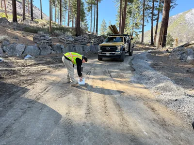
Safety features such as fencing are visible, suggesting control of access.
Equipment & Materials
AI Tags
Analyzed Apr 21, 2026
Nearby Photos
3m
other
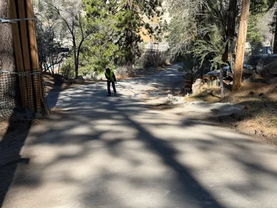
road-maintenancedebris-clearing
broom
6m
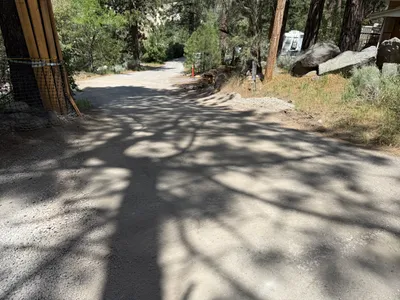
swppp erosion control
erosion-controltrees
trailer
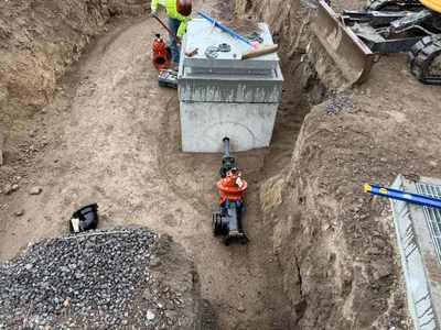
8m
valve vault
hydrant-installationvalve-vault-work
excavator
12m
swppp erosion control
erosion-controlsediment-control
gravel
17m
other
walkingobservation
white-van
20m
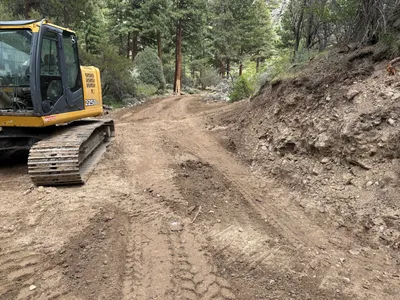
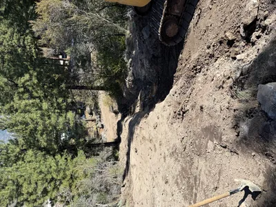
excavation
excavationearth-moving
tracked excavator
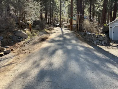
21m
other
site-accesspaved-road
22m
site grading
road-gradinggravel-spreading
gravel
23m
inspection documentation
road-inspectionworker-activity
truck
30m
excavation
excavationsite-grading
tracked excavator