
No caption
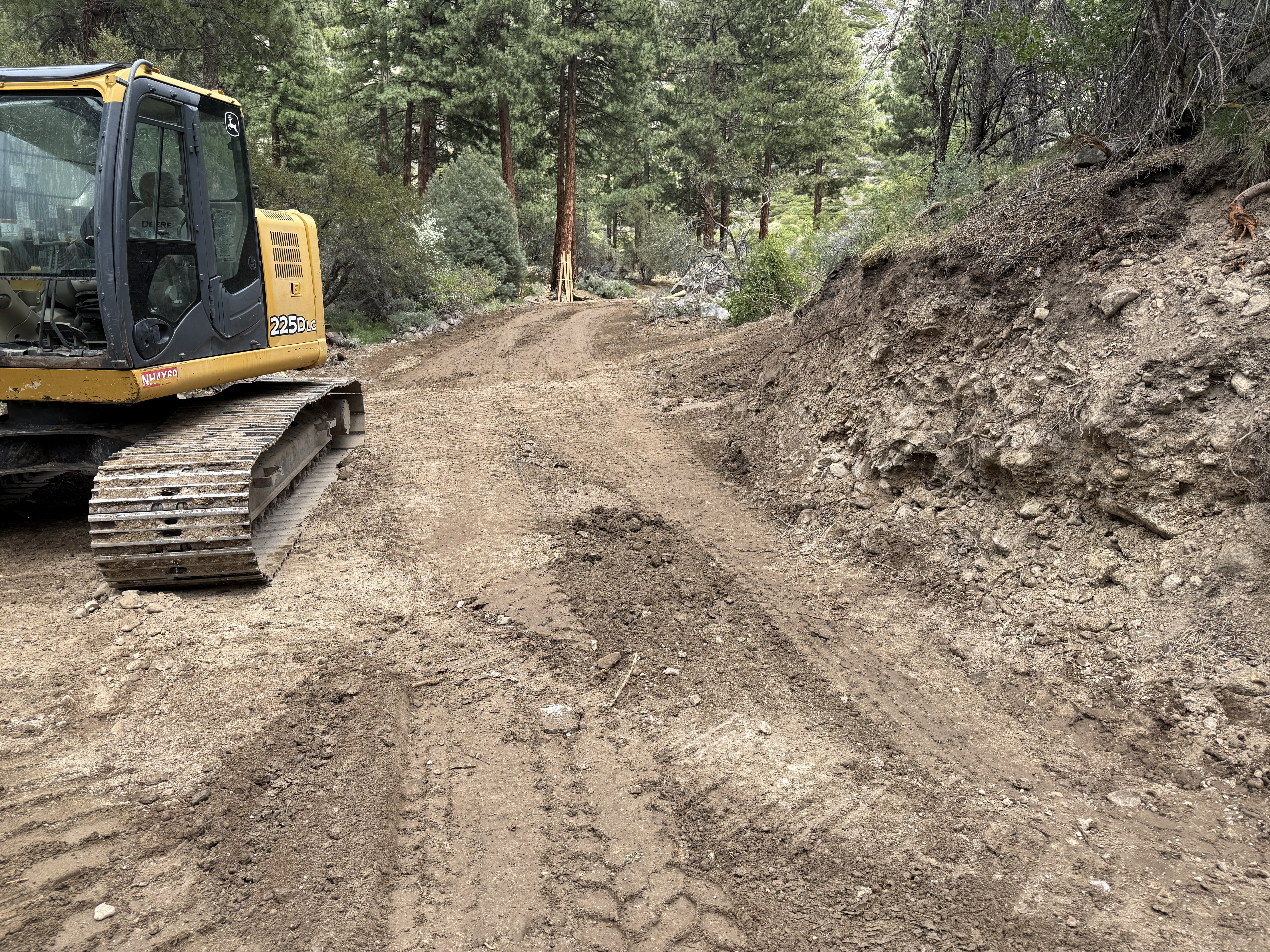
IMG_7756.JPG
Details
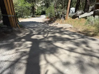
39.39247, -120.02170· 1652m
Location Context
1 / 5
USGS Topo
No elevation data
FEMA Flood
No flood data
OSM Infra
No address data
USDA Soil
No soil data
USGS Hydro
No hydro data
Show all EXIF (43 fields)
AI Analysis
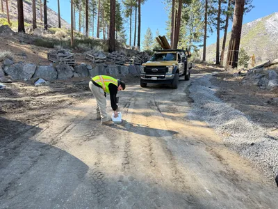
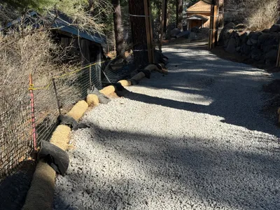
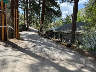
The image shows a tracked excavator positioned on the left side of a dirt road, likely engaged in excavation work. The ground surface is primarily dirt with evidence of recent soil disturbance, possibly from grading activities. Vegetation and trees are present along the edges of the road, suggesting a wooded or forested area. The dirt road appears clear for equipment passage.
Equipment & Materials
Analyzed Apr 21, 2026
Nearby Photos
3m
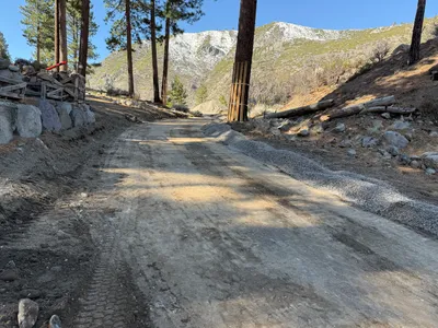
site grading
12m
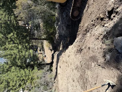
excavation
15m
trenching
15m
inspection documentation
17m
site grading
17m
other
18m
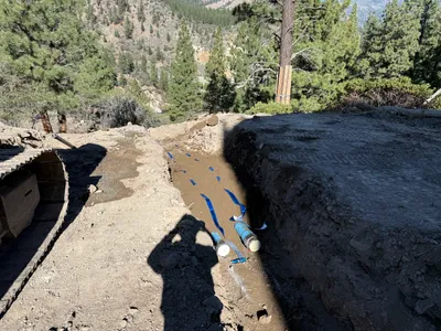
pipeline installation
19m
swppp erosion control
19m
swppp erosion control
20m
swppp erosion control