
No caption
IMG_9340.JPG
Details
39.39469, -120.02112· 1659m
Location Context
1 / 5
USGS Topo
No elevation data
FEMA Flood
No flood data
OSM Infra
No address data
USDA Soil
No soil data
USGS Hydro
No hydro data
Show all EXIF (43 fields)
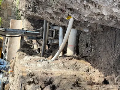
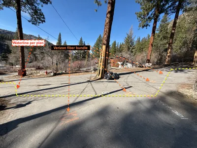
AI Analysis
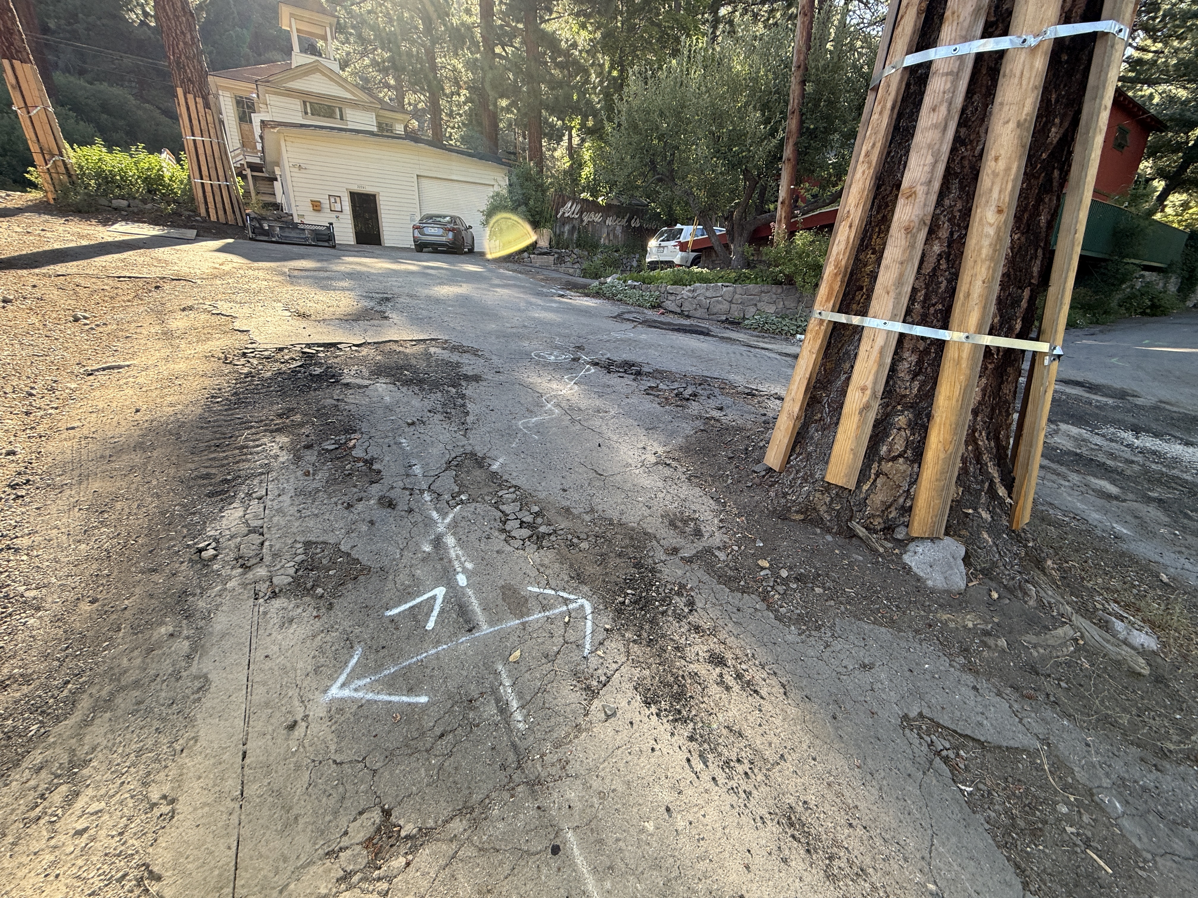
The image depicts a roadway with visible damage such as cracks and potholes. White arrows are drawn on the ground, possibly indicating survey or alignment markings. Nearby trees are wrapped with wooden planks secured by metal bands, likely for protection during construction activities. There is a house and two vehicles in the background, suggesting this area may also be residential.
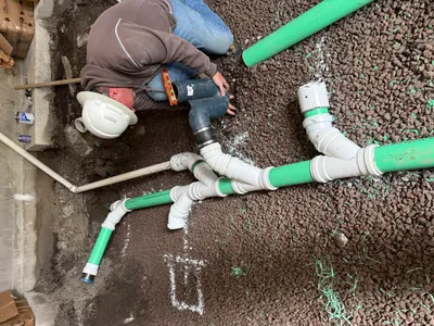
Equipment & Materials
AI Tags
Analyzed Apr 21, 2026
Nearby Photos
1m
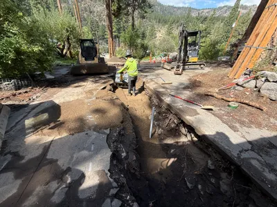
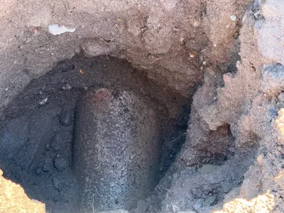
trenching
1m
trenching
1m
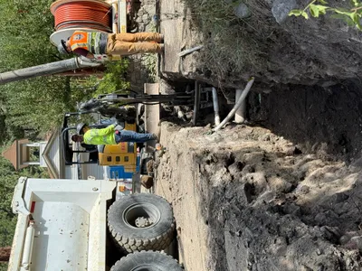
excavation
1m
trenching
1m
excavation
1m
survey layout
2m
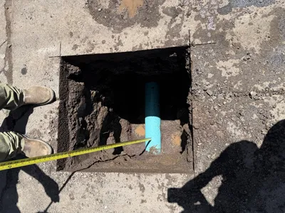
pipeline installation
2m
trenching
2m
survey layout
2m
pipeline installation