
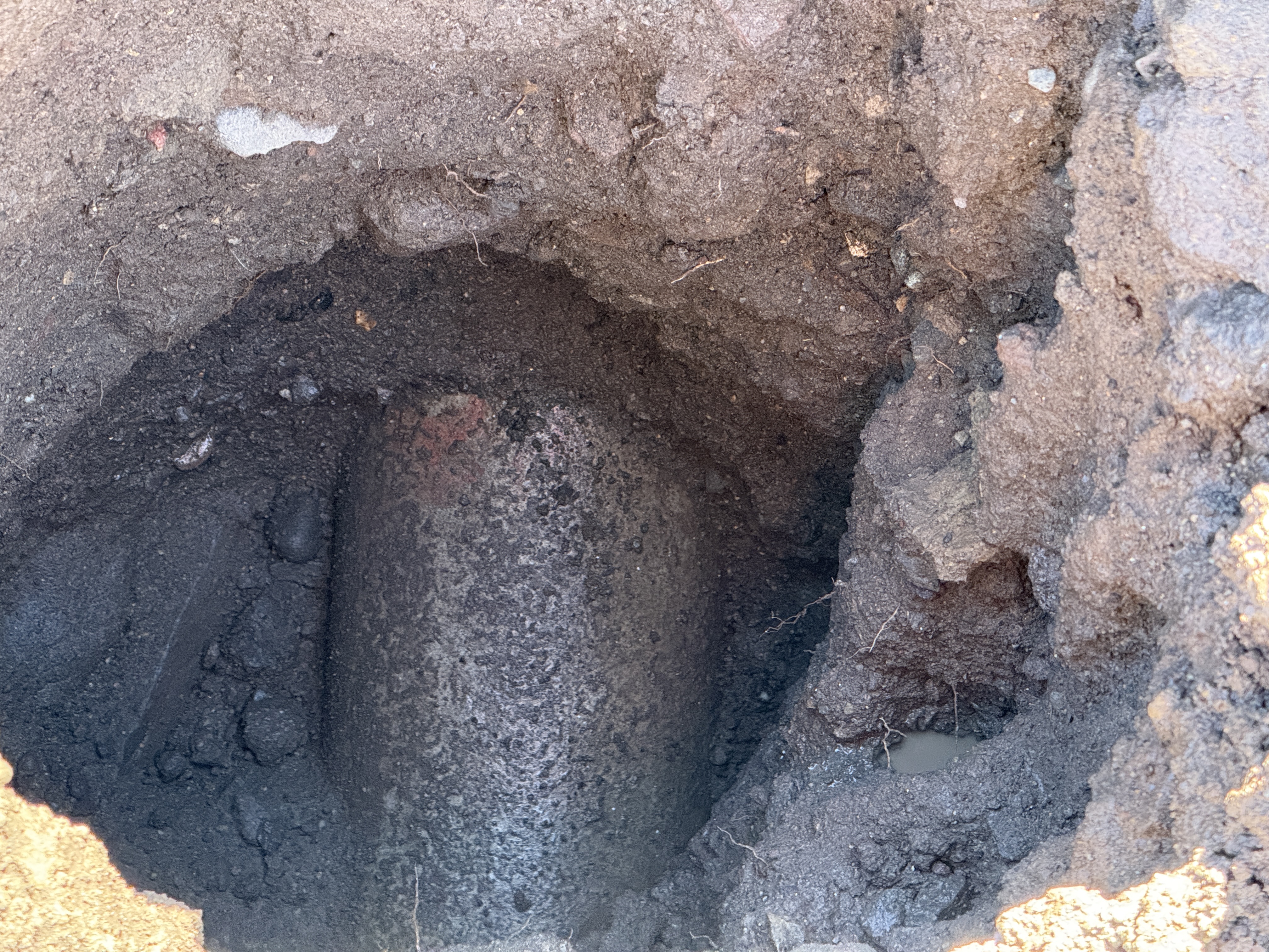
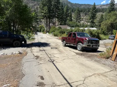
No caption
IMG_9537.JPG
Details
Tuesday, August 19, 2025 · 10:06 AM
39.39469, -120.02113· 1653m
Location Context
1 / 5
USGS Topo
No elevation data
FEMA Flood
No flood data
OSM Infra
No address data
USDA Soil
No soil data
USGS Hydro
No hydro data
Apple iPhone 16 Pro
iPhone 16 Pro back triple camera 15.66mm f/2.8
15.659999847383mmf/2.81/79sISO 500
Flash did not fire, compulsory flash mode
Show all EXIF (44 fields)
ApertureValue2.9709
BrightnessValue1.7147
ColorSpace65535
CompositeImageGeneral Composite Image
DigitalZoomRatio1.0013
ExifImageHeight3024
ExifVersion2.3.2
ExposureCompensation0
ExposureModeAuto
ExposureProgramNormal program
FlashpixVersion1.0
FocalLengthIn35mmFormat120
GPSDateStamp2025:08:19
GPSDestBearing94.8328
GPSDestBearingRefTrue North
GPSHPositioningError6.2243
GPSImgDirection94.8328
GPSImgDirectionRefT
GPSSpeed0.2515
GPSSpeedRefK
GPSTimeStamp17:6:36
HostComputeriPhone 16 Pro
latitude39.3947
LensInfo2.2200, 15.6600, 1.7800, 2.8000
LensMakeApple
longitude-120.0211
MeteringModePattern
ModifyDate2025-08-19T10:06:37.000Z
OffsetTime-07:00
OffsetTimeDigitized-07:00
OffsetTimeOriginal-07:00
ResolutionUnitinches
SceneCaptureTypeStandard
SceneTypeDirectly photographed
SensingMethodOne-chip color area sensor
ShutterSpeedValue6.3123
Software18.6.1
SubjectArea{"0":2001,"1":1521,"2":2207,"3":1335}
SubSecTimeDigitized233
SubSecTimeOriginal233
WhiteBalanceAuto
XResolution72
YCbCrPositioning1
YResolution72
AI Analysis
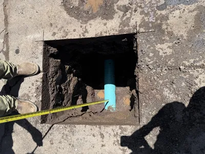
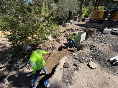
The image shows a partially excavated area with a cylindrical object in the center, likely part of a utility line. The surrounding soil appears loose and somewhat moist. The object is covered partially in soil, indicating ongoing pothole utility locating work.
excavation
loose soil with moisture clear and well-lit conditions limited details, appears accessible
Safety features are not visible in the frame.
AI Tags
Analyzed Apr 21, 2026
Nearby Photos
1m
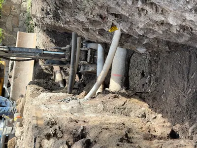
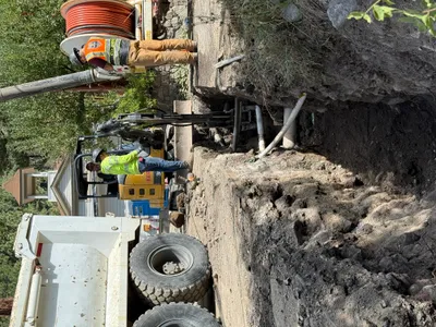
trenching
trenchingexcavation
excavator
1m
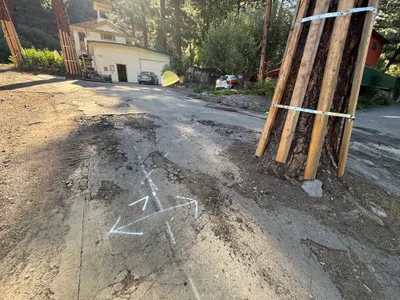
paving surface restoration
road-markingsurface-assessment
cars
1m
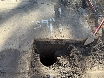
excavation
excavationpothole-utility-locating
shovel
2m
excavation
pothole-utility-locatingpotholing
measuring tape
2m
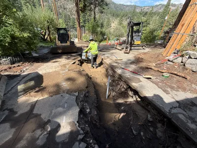
trenching
trenchingexcavation-work
mini excavator
2m
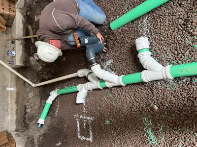
pipeline installation
pipeline-installationpipe-assembly
hand tool (uncertain type)
2m
trenching
trenchingcompaction
excavator
2m
other
pickup-truckpavement
pickup-truck
2m
trenching
trenchingsoil-leveling
tracked excavator

2m
other
ground-preparationindoor-construction
shovel