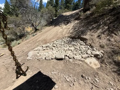

No caption
IMG_9064.JPG
Details
Thursday, July 31, 2025 · 1:24 PM
39.39332, -120.02263· 1621m
Location Context
1 / 5
USGS Topo
No elevation data
FEMA Flood
No flood data
OSM Infra
No address data
USDA Soil
No soil data
USGS Hydro
No hydro data
Apple iPhone 16 Pro
iPhone 16 Pro back triple camera 2.22mm f/2.2
2.220000028611935mmf/2.21/2611sISO 50
Flash did not fire, compulsory flash mode
Show all EXIF (43 fields)
ApertureValue2.2750
BrightnessValue9.6613
ColorSpace65535
CompositeImageGeneral Composite Image
ExifImageHeight3024
ExifVersion2.3.2
ExposureCompensation0
ExposureModeAuto
ExposureProgramNormal program
FlashpixVersion1.0
FocalLengthIn35mmFormat14
GPSDateStamp2025:07:31
GPSDestBearing60.3851
GPSDestBearingRefTrue North
GPSHPositioningError124.1800
GPSImgDirection60.3851
GPSImgDirectionRefT
GPSSpeed0
GPSSpeedRefK
GPSTimeStamp20:24:1
HostComputeriPhone 16 Pro
latitude39.3933
LensInfo2.2200, 15.6600, 1.7800, 2.8000
LensMakeApple
longitude-120.0226
MeteringModePattern
ModifyDate2025-07-31T13:24:06.000Z
OffsetTime-07:00
OffsetTimeDigitized-07:00
OffsetTimeOriginal-07:00
ResolutionUnitinches
SceneCaptureTypeStandard
SceneTypeDirectly photographed
SensingMethodOne-chip color area sensor
ShutterSpeedValue11.3504
Software18.6
SubjectArea{"0":2000,"1":1511,"2":2217,"3":1330}
SubSecTimeDigitized459
SubSecTimeOriginal459
WhiteBalanceAuto
XResolution72
YCbCrPositioning1
YResolution72
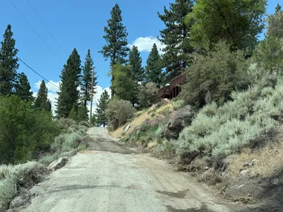
AI Analysis
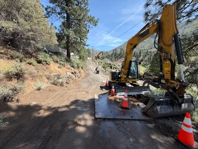
The image depicts a slope where rocks have been arranged, likely for erosion control purposes. A chain is visible suspended from the top left corner, suggesting possible recent movement of materials. Trees and shrubs surround the area, providing context of a natural environment. The ground surface is largely dirt, with visible signs of disturbance.
swppp-erosion-control
dirt and rock with slope clear day with sunlight open area with minimal congestion
Safety features are not visible in frame.
Equipment & Materials
Analyzed Apr 21, 2026
Nearby Photos
1m
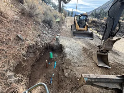
trenching
trenchingpipes
excavator
2m
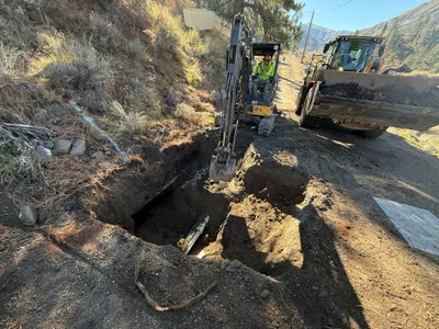
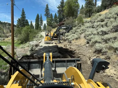
excavation
excavationtrenching
excavator
3m
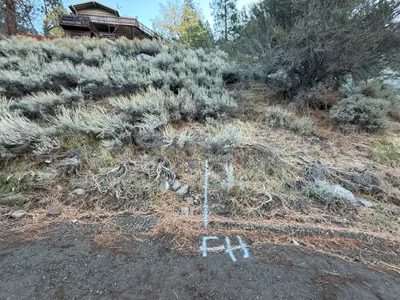
survey layout
location-markingsurvey-layout
3m
excavation
excavationroadwork
excavator
3m
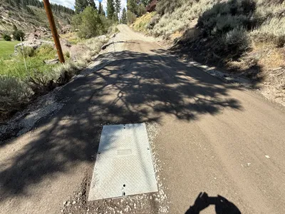
site grading
site-gradingutility-access-cover
gravel
3m
excavation
excavationearthmoving
mini-excavator
4m
electrical
access-panel-inspectionmetal-access-panel
access-panel
4m
other
gravel-roadvegetation
4m
paving surface restoration
surface-preparationutility-access
utility-access-cover
5m
site grading
site-gradingearth-moving
front loader