No caption
IMG_1140.JPG
Details
Monday, October 27, 2025 · 8:41 AM
39.39333, -120.02265· 1632m
Location Context
1 / 5
USGS Topo
No elevation data
FEMA Flood
No flood data
OSM Infra
No address data
USDA Soil
No soil data
USGS Hydro
No hydro data
Apple iPhone 16 Pro
iPhone 16 Pro back triple camera 2.22mm f/2.2
2.220000028611935mmf/2.21/99sISO 125
Flash did not fire, compulsory flash mode
Show all EXIF (43 fields)
ApertureValue2.2750
BrightnessValue4.0648
ColorSpace65535
CompositeImageGeneral Composite Image
ExifImageHeight3024
ExifVersion2.3.2
ExposureCompensation0
ExposureModeAuto
ExposureProgramNormal program
FlashpixVersion1.0
FocalLengthIn35mmFormat14
GPSDateStamp2025:10:27
GPSDestBearing97.1080
GPSDestBearingRefTrue North
GPSHPositioningError33.0135
GPSImgDirection97.1080
GPSImgDirectionRefT
GPSSpeed0
GPSSpeedRefK
GPSTimeStamp15:41:50
HostComputeriPhone 16 Pro
latitude39.3933
LensInfo2.2200, 15.6600, 1.7800, 2.8000
LensMakeApple
longitude-120.0227
MeteringModePattern
ModifyDate2025-10-27T08:41:51.000Z
OffsetTime-07:00
OffsetTimeDigitized-07:00
OffsetTimeOriginal-07:00
ResolutionUnitinches
SceneCaptureTypeStandard
SceneTypeDirectly photographed
SensingMethodOne-chip color area sensor
ShutterSpeedValue6.6325
Software26.0.1
SubjectArea{"0":2002,"1":1508,"2":2218,"3":1328}
SubSecTimeDigitized130
SubSecTimeOriginal130
WhiteBalanceAuto
XResolution72
YCbCrPositioning1
YResolution72
AI Analysis
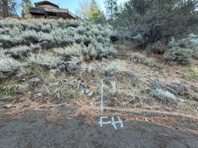
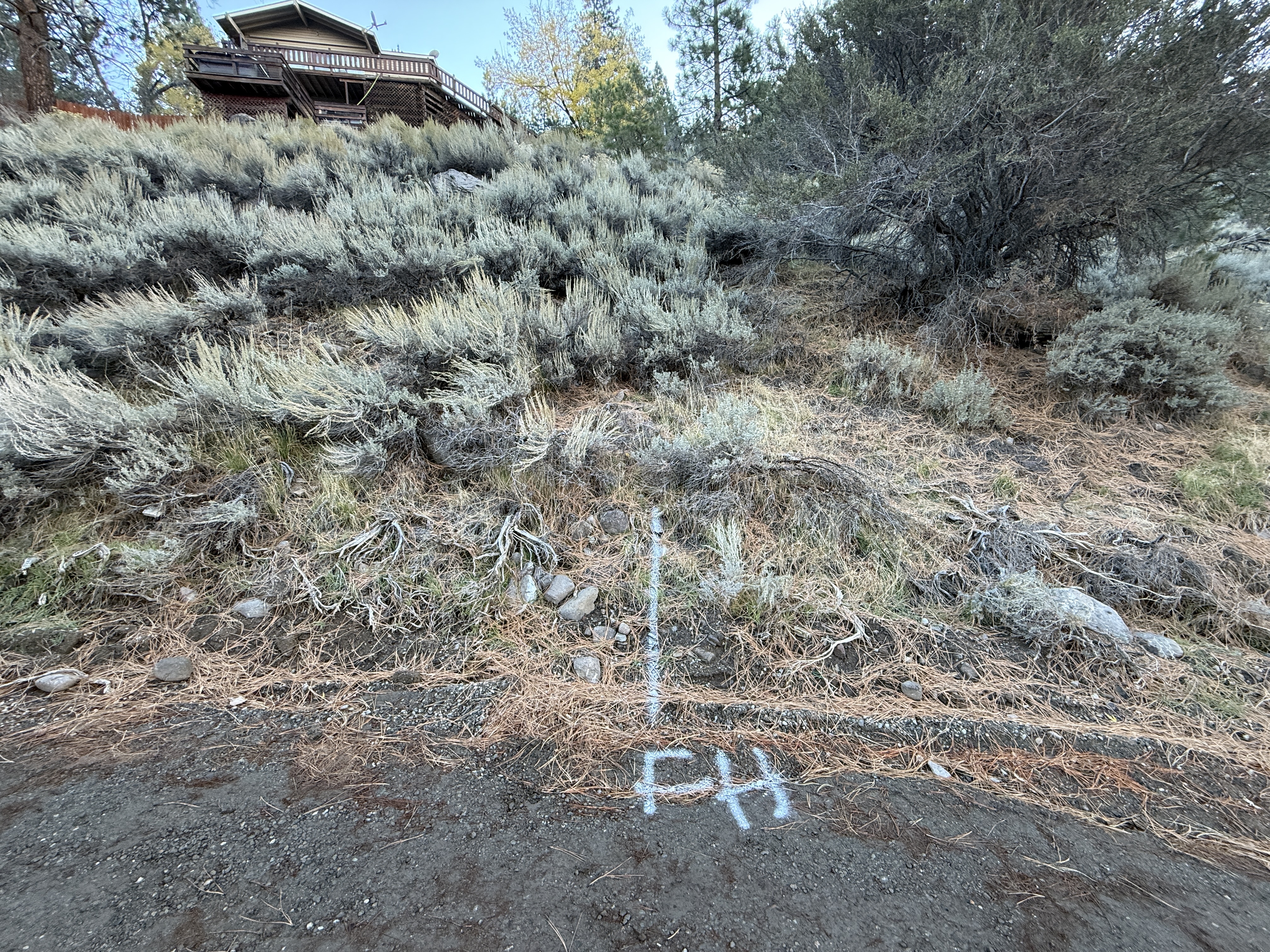
The image shows a marked fire hydrant location indicated by white paint on a slope covered with plants. The marking 'FH' is clearly seen on the ground with a vertical and horizontal line, suggesting a planned installation area. In the background, a residential building and trees are visible, but no active work is occurring.
survey-layout
dirt with vegetation and pine needles clear and daylight conditions no visible staging areas due to vegetation covering
No visible safety features or controls in the frame.
AI Tags
Analyzed Apr 21, 2026
Nearby Photos
1m
excavation
excavationroadwork
excavator
2m
trenching
trenchingpipes
excavator
3m
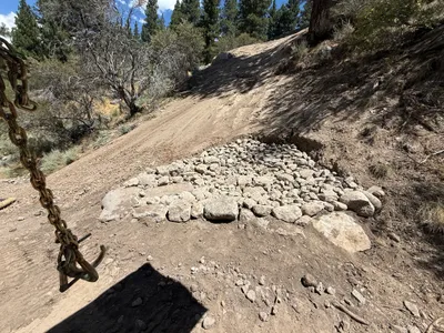
swppp erosion control
riprap-installationerosion-control
rocks
3m
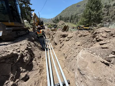
pipeline installation
pipeline-installationtrenching
excavators
3m
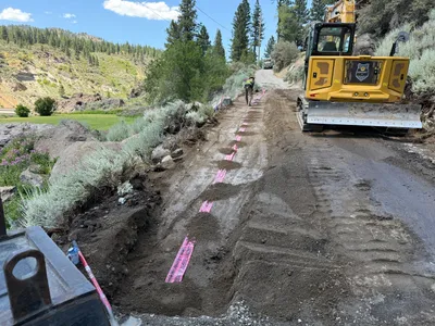
trenching
trenchingroadside-trenching
excavator
3m
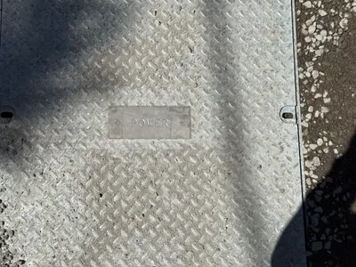
electrical
access-panel-inspectionmetal-access-panel
access-panel
4m
paving surface restoration
surface-preparationutility-access
utility-access-cover
4m
excavation
excavationtrenching
excavator
4m
trenching
trenchingexcavator-operation
CAT excavator
5m
electrical
conduit-installationutility-box
conduit-pipes