
No caption
IMG_0118.JPG
Details
39.39464, -120.02122· 1650m
Location Context
1 / 5
USGS Topo
No elevation data
FEMA Flood
No flood data
OSM Infra
No address data
USDA Soil
No soil data
USGS Hydro
No hydro data
Show all EXIF (43 fields)
AI Analysis
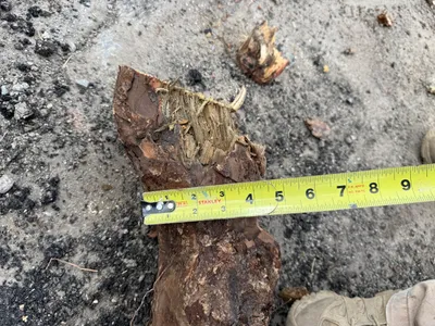
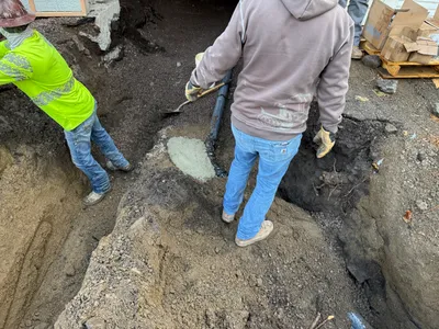
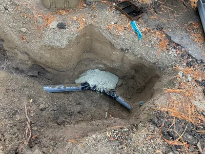
The image shows a close-up of a piece of pipe or log on the ground, with a measuring tape reading its diameter. The tape measures approximately six inches across, indicating the size of the object, which appears rough and irregular. The surrounding area is a mix of gravel and dirt, suggesting recent excavation or exposure. A foot in the bottom left corner suggests a human presence or scale reference.
Equipment & Materials
Analyzed Apr 21, 2026
Nearby Photos
2m
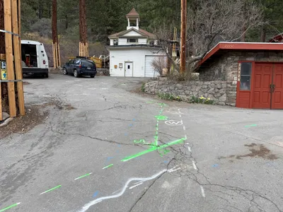
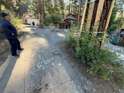
survey layout
2m
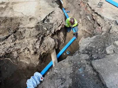
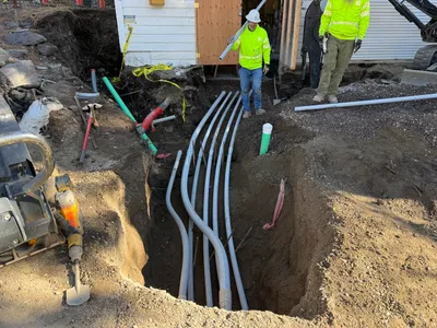
pipeline installation
2m
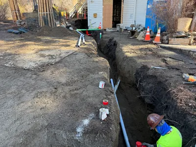
trenching
2m
pipeline installation
2m
pipeline installation
3m
inspection documentation
3m
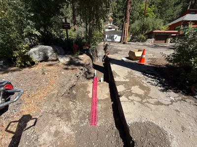
trenching
3m
trenching
3m
trenching
4m
trenching