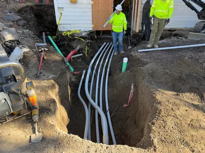
IMG_9339.JPG

No caption

IMG_9339.JPG

Tags

Details

Monday, August 11, 2025 · 9:07 AM

39.39462, -120.02124· 1649m

Location Context

1 / 5

USGS Topo

No elevation data

FEMA Flood

No flood data

OSM Infra

No address data

USDA Soil

No soil data

USGS Hydro

No hydro data

Apple iPhone 16 Pro
iPhone 16 Pro back triple camera 2.22mm f/2.2
2.220000028611935mmf/2.21/99sISO 50
Flash did not fire, compulsory flash mode
Show all EXIF (43 fields)
ApertureValue2.2750
BrightnessValue5.5562
ColorSpace65535
CompositeImageGeneral Composite Image
ExifImageHeight3024
ExifVersion2.3.2
ExposureCompensation0
ExposureModeAuto
ExposureProgramNormal program
FlashpixVersion1.0
FocalLengthIn35mmFormat14
GPSDateStamp2025:08:11
GPSDestBearing133.8771
GPSDestBearingRefTrue North
GPSHPositioningError12.9675
GPSImgDirection133.8771
GPSImgDirectionRefT
GPSSpeed1.0910
GPSSpeedRefK
GPSTimeStamp16:7:25
HostComputeriPhone 16 Pro
latitude39.3946
LensInfo2.2200, 15.6600, 1.7800, 2.8000
LensMakeApple
longitude-120.0212
MeteringModePattern
ModifyDate2025-08-11T09:07:27.000Z
OffsetTime-07:00
OffsetTimeDigitized-07:00
OffsetTimeOriginal-07:00
ResolutionUnitinches
SceneCaptureTypeStandard
SceneTypeDirectly photographed
SensingMethodOne-chip color area sensor
ShutterSpeedValue6.6325
Software18.6
SubjectArea{"0":2000,"1":1511,"2":2217,"3":1330}
SubSecTimeDigitized178
SubSecTimeOriginal178
WhiteBalanceAuto
XResolution72
YCbCrPositioning1
YResolution72

AI Analysis

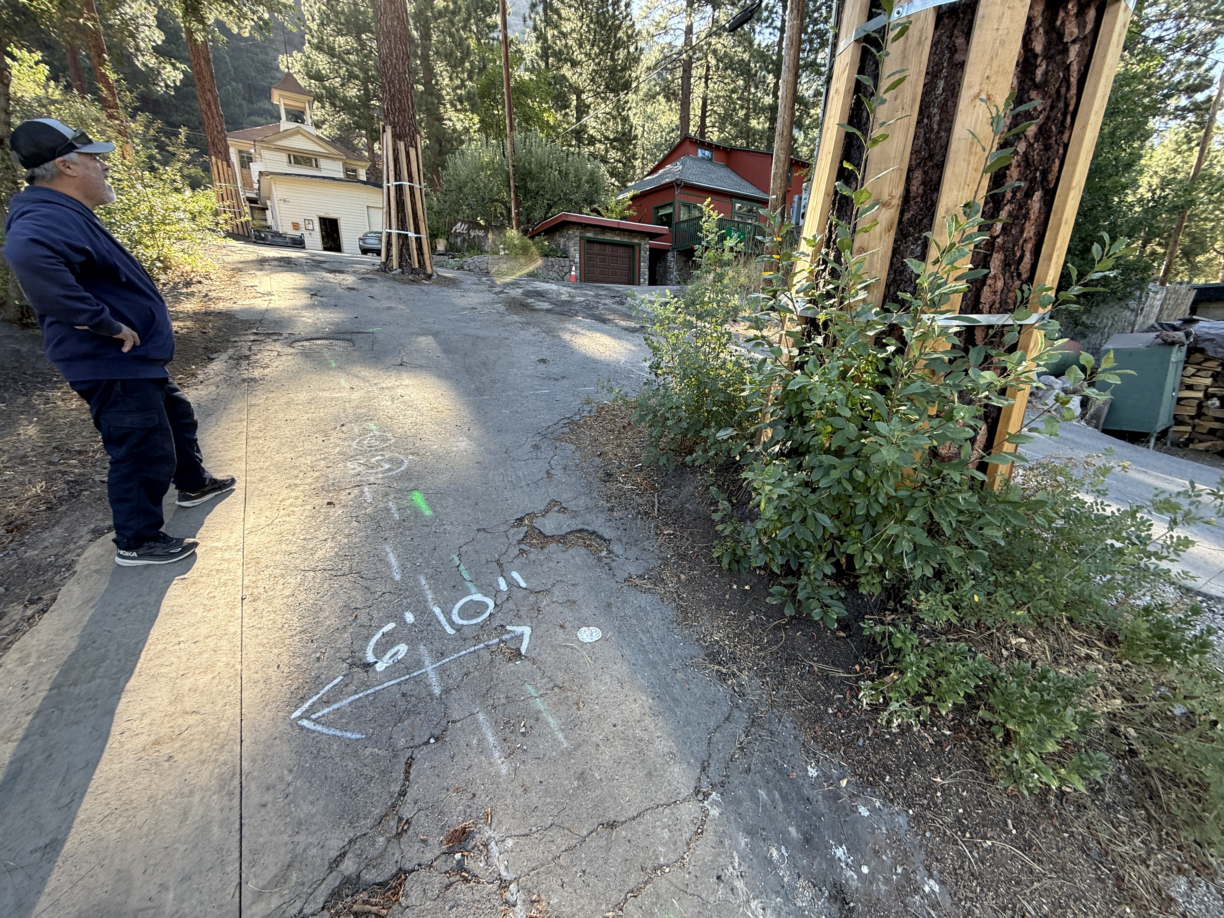
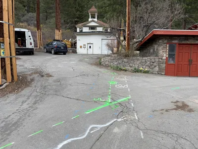
The image shows a cracked pavement area with spray-painted measurements indicating '6 ft 10 in'. A person is standing to the left, seemingly assessing the situation. Trees in the area are supported with wooden braces, possibly for protection or structural reasons. Two houses are visible in the background, situated uphill from the marked area.

inspection-documentation
cracked pavement bright daylight clear access, no visible congestion
Safety features are not visibly emphasized in the frame.

Equipment & Materials

Analyzed Apr 21, 2026