
No caption
IMG_8942.JPG
Details
Tuesday, July 22, 2025 · 2:07 PM
39.39406, -120.02331· 1623m
Location Context
1 / 5
USGS Topo
No elevation data
FEMA Flood
No flood data
OSM Infra
No address data
USDA Soil
No soil data
USGS Hydro
No hydro data
Apple iPhone 16 Pro
iPhone 16 Pro back triple camera 6.765mm f/1.78
6.764999865652793mmf/1.7799999713880651/2370sISO 100
Flash did not fire, compulsory flash mode
Show all EXIF (43 fields)
ApertureValue1.6638
BrightnessValue8.3554
ColorSpace65535
CompositeImageGeneral Composite Image
ExifImageHeight4284
ExifVersion2.3.2
ExposureCompensation0
ExposureModeAuto
ExposureProgramNormal program
FlashpixVersion1.0
FocalLengthIn35mmFormat24
GPSDateStamp2025:07:22
GPSDestBearing59.2673
GPSDestBearingRefTrue North
GPSHPositioningError69.4382
GPSImgDirection59.2673
GPSImgDirectionRefT
GPSSpeed0
GPSSpeedRefK
GPSTimeStamp21:7:37
HostComputeriPhone 16 Pro
latitude39.3941
LensInfo2.2200, 15.6600, 1.7800, 2.8000
LensMakeApple
longitude-120.0233
MeteringModePattern
ModifyDate2025-07-22T14:07:40.000Z
OffsetTime-07:00
OffsetTimeDigitized-07:00
OffsetTimeOriginal-07:00
ResolutionUnitinches
SceneCaptureTypeStandard
SceneTypeDirectly photographed
SensingMethodOne-chip color area sensor
ShutterSpeedValue11.2105
Software18.6
SubjectArea{"0":2851,"1":2137,"2":3141,"3":1884}
SubSecTimeDigitized094
SubSecTimeOriginal094
WhiteBalanceAuto
XResolution72
YCbCrPositioning1
YResolution72
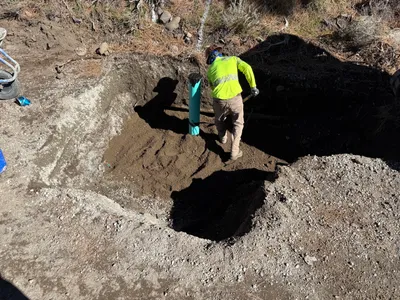
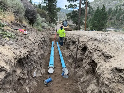
AI Analysis
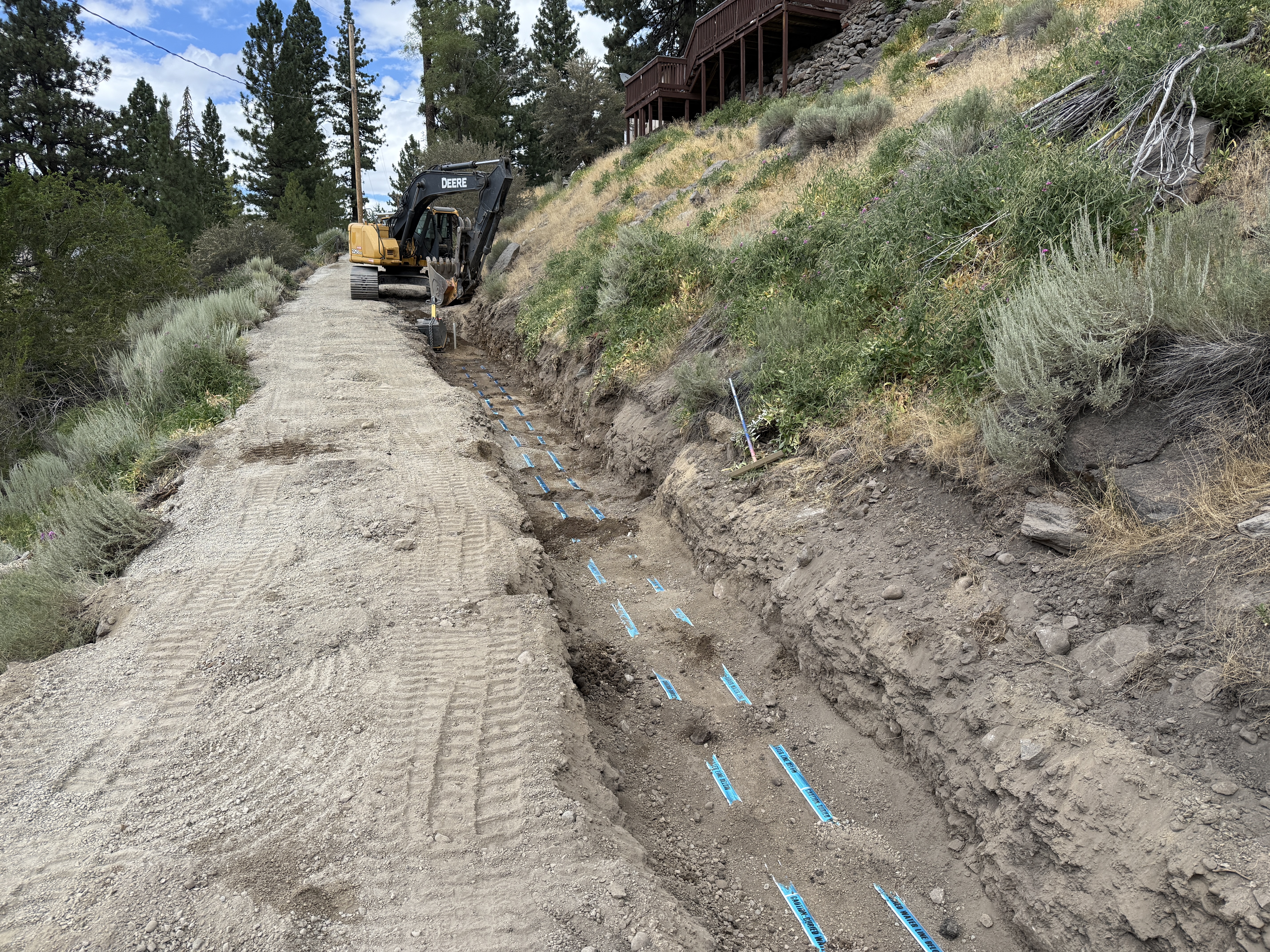
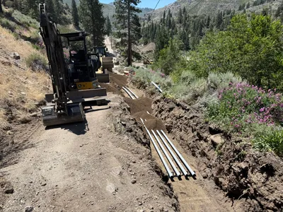
The image shows a trench being dug alongside a dirt road with an excavator positioned at the trench's end. Blue markings are visible on the trench floor, possibly indicating placement or alignment. The surrounding area includes shrubs on a slope, and wooden structures are visible uphill. It is uncertain what the blue markings represent.
trenching
dirt road and trench soil clear weather and natural daylight open access along dirt road
No visible PPE or safety controls in frame.
Equipment & Materials
Analyzed Apr 21, 2026
Nearby Photos
8m
trenching
trenchingland-clearing
excavator
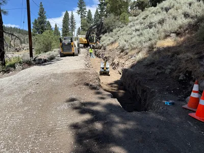
11m
trenching
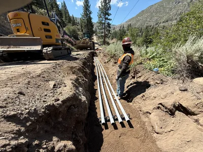
pipe-handlingtrench-preparation
bulldozer
11m
trenching
trenchingpipeline-installation
excavator
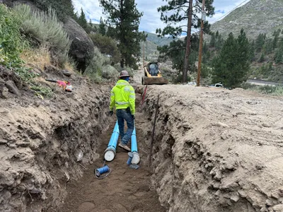
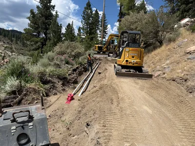
17m
pipeline installation
trenchingconduit installation
mini excavator
21m
trenching
trenchingduct-bank-installation
excavator
25m
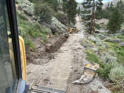
trenching
trenchingexcavation
excavator
27m
trenching
trenchingutility-installation
excavators
27m
backfill
backfillshoveling
shovel
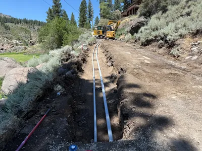
29m
pipeline installation
pipeline-installationtrenching
excavator or similar machinery
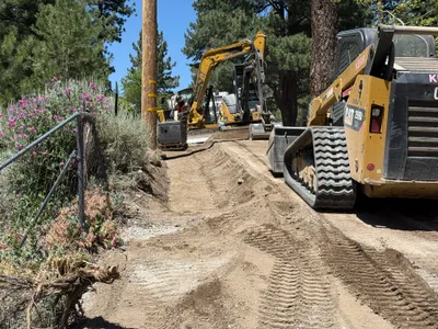
29m
site grading
site-gradingearth-movement
compact track loader