
No caption
IMG_7103.JPG
Details
Thursday, April 10, 2025 · 3:27 PM
39.39200, -120.02181· 1654m
Location Context
1 / 5
USGS Topo
No elevation data
FEMA Flood
No flood data
OSM Infra
No address data
USDA Soil
No soil data
USGS Hydro
No hydro data
Apple iPhone 16 Pro
iPhone 16 Pro back triple camera 6.765mm f/1.78
6.764999865652793mmf/1.7799999713880651/878sISO 80
Flash did not fire, compulsory flash mode
Show all EXIF (44 fields)
ApertureValue1.6638
BrightnessValue7.4346
ColorSpace65535
CompositeImageGeneral Composite Image
DigitalZoomRatio1.0014
ExifImageHeight4284
ExifVersion2.3.2
ExposureCompensation0
ExposureModeAuto
ExposureProgramNormal program
FlashpixVersion1.0
FocalLengthIn35mmFormat24
GPSDateStamp2025:04:10
GPSDestBearing252.8497
GPSDestBearingRefTrue North
GPSHPositioningError4.7487
GPSImgDirection252.8497
GPSImgDirectionRefT
GPSSpeed1.3134
GPSSpeedRefK
GPSTimeStamp22:27:30
HostComputeriPhone 16 Pro
latitude39.3920
LensInfo2.2200, 15.6600, 1.7800, 2.8000
LensMakeApple
longitude-120.0218
MeteringModePattern
ModifyDate2025-04-10T15:27:30.000Z
OffsetTime-07:00
OffsetTimeDigitized-07:00
OffsetTimeOriginal-07:00
ResolutionUnitinches
SceneCaptureTypeStandard
SceneTypeDirectly photographed
SensingMethodOne-chip color area sensor
ShutterSpeedValue9.7780
Software18.4
SubjectArea{"0":2853,"1":2137,"2":3145,"3":1886}
SubSecTimeDigitized774
SubSecTimeOriginal774
WhiteBalanceAuto
XResolution72
YCbCrPositioning1
YResolution72
AI Analysis
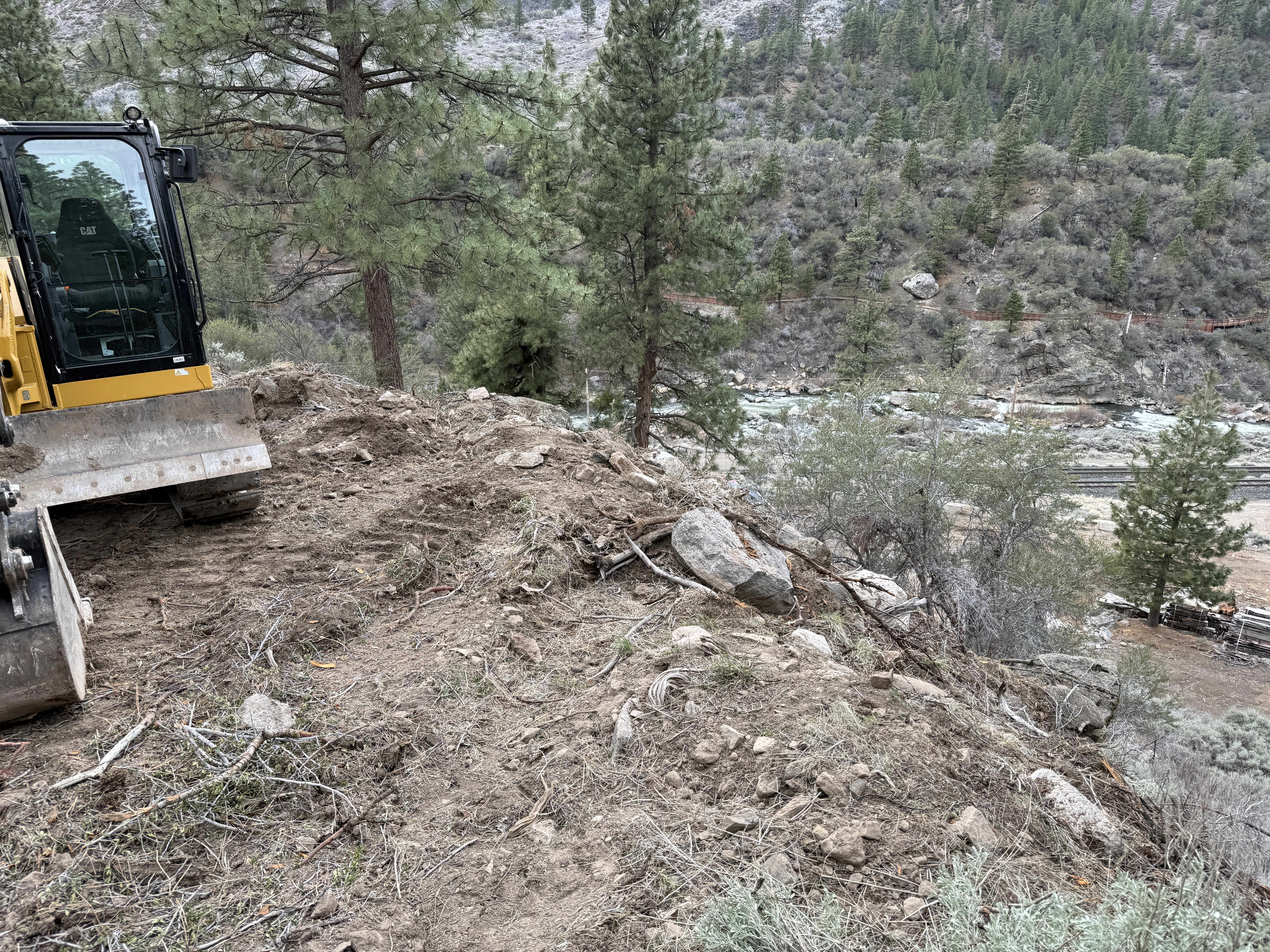
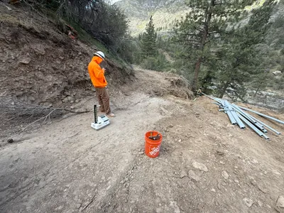
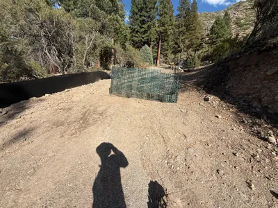
The image shows a bulldozer on the left side on a sloped, uneven terrain. The area appears to be recently excavated with exposed soil and scattered rocks. Trees surround the site, suggesting a remote or forested location. There is no visible trench or pipeline, and materials related to utility work are not seen.
site-grading
soil with rocks on a slope overcast lighting remote location with natural terrain
No specific safety controls or PPE are visible in frame.
Equipment & Materials
Analyzed Apr 21, 2026
Nearby Photos
3m
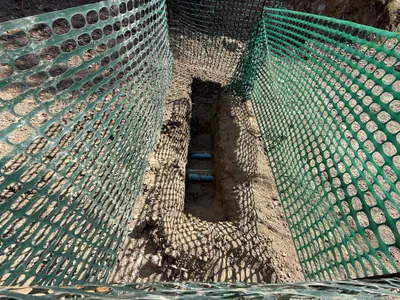
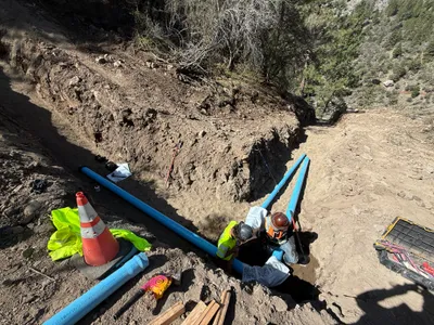
trenching
trenchingpipe-laying
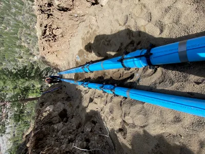
blue pipes
3m
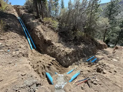
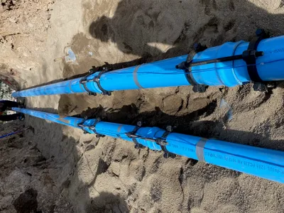
pipeline installation
trenchingpipeline-installation
hand-tools
4m
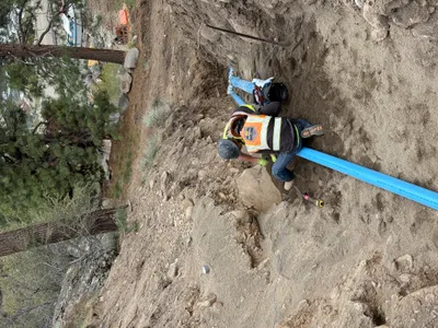
pipeline installation
pipeline-installationpipe-laying
pipe installation tool
4m
other
inspectionconduit-placement
compact machine
5m
pipeline installation
pipe-installationslope-installation
sandy soil
5m
pipeline installation
pipeline-installationpipe-laying
measuring tape
5m
pipeline installation
pipeline-installationpipe-laying
shovel
6m
swppp erosion control
erosion-controlsilt-fence-installation
silt-fence
7m
trenching
trenchingtrench
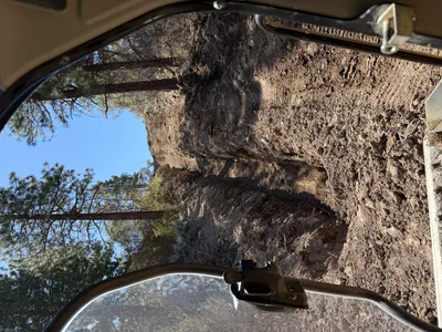
part of a cab visible
8m
site grading
site-gradingslope-work
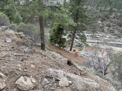
lift or machinery near trees