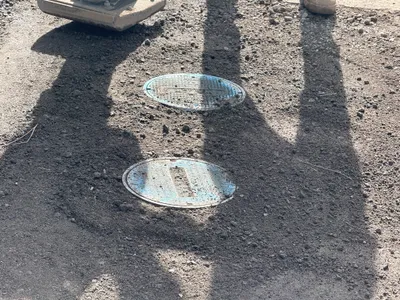
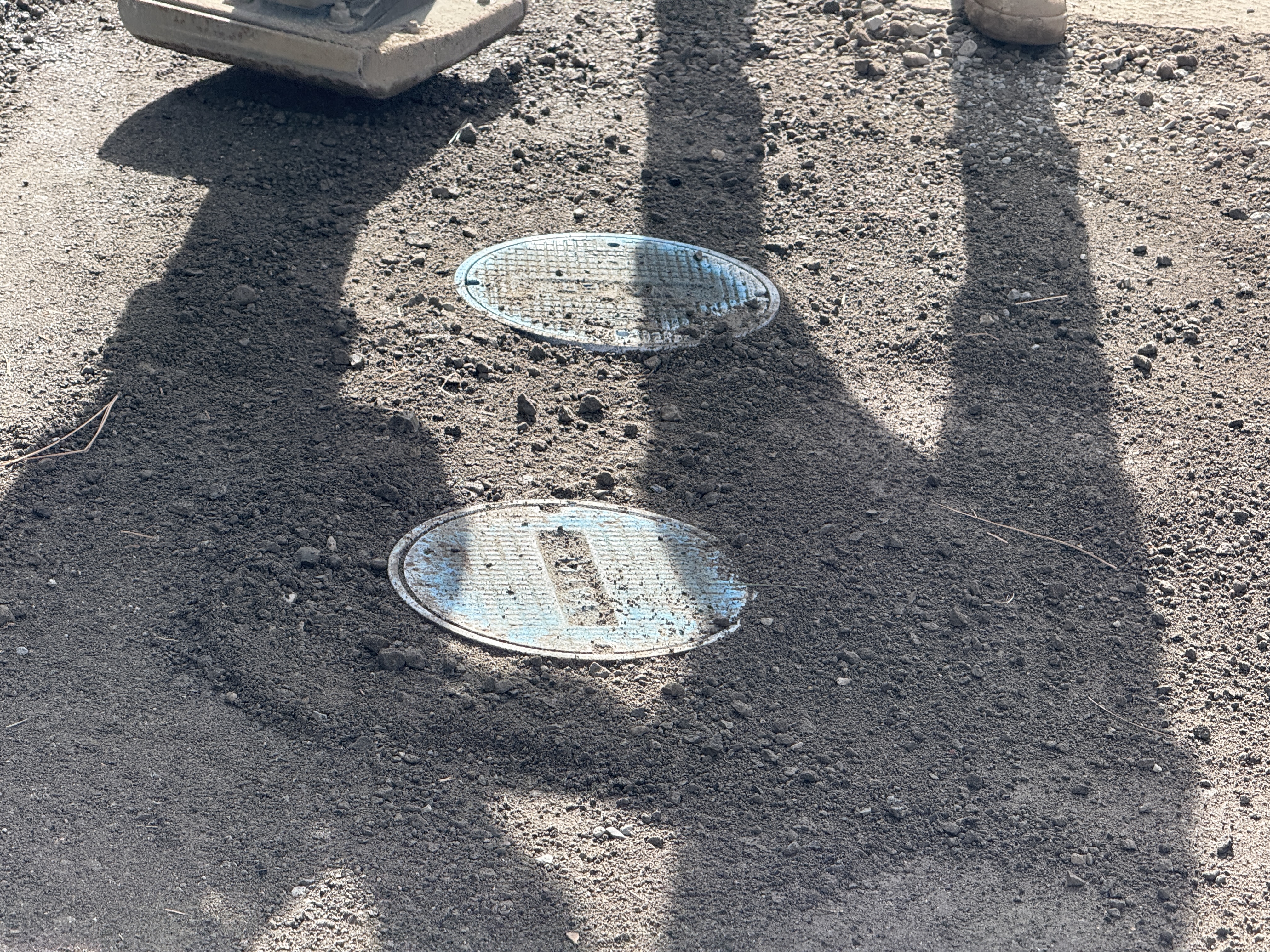
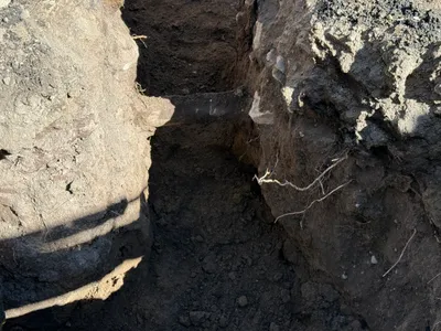
No caption
IMG_1491.JPG
Details
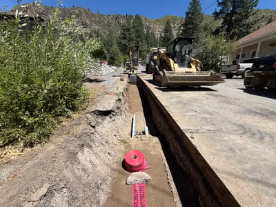
39.39460, -120.02219· 139m
Location Context
1 / 5
USGS Topo
No elevation data
FEMA Flood
No flood data
OSM Infra
No address data
USDA Soil
No soil data
USGS Hydro
No hydro data
Show all EXIF (44 fields)
AI Analysis
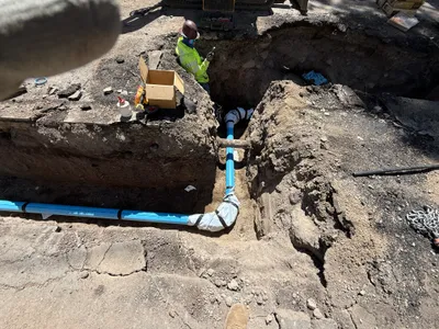
The image shows two round utility access covers on a soil surface, possibly indicating pipe or valve locations below. The surrounding area seems to have been recently worked on, with soil spread around the covers. Equipment shadow suggests an operation involving compacting or surface finishing. Two people are seen interacting with the site, hinting at ongoing surface work.
Equipment & Materials
AI Tags
Analyzed Apr 21, 2026
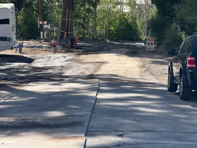
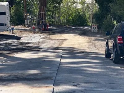
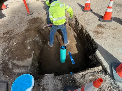
Nearby Photos
1m
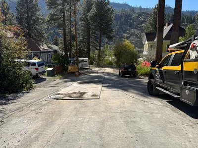
paving surface restoration
2m
survey layout
3m
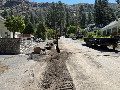
trenching
3m
paving surface restoration
3m
paving surface restoration
3m
trenching
4m
pipeline installation
5m
trenching
5m
paving surface restoration
5m
trenching