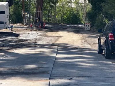
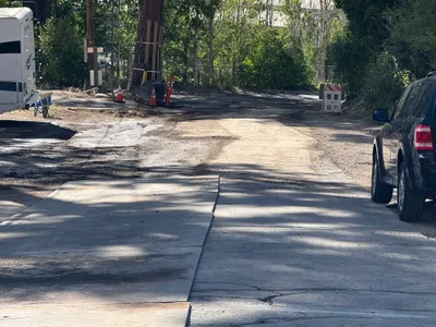
No caption
IMG_6604.JPG
Details
39.39461, -120.02221· 1652m
Location Context
1 / 5
USGS Topo
No elevation data
FEMA Flood
No flood data
OSM Infra
No address data
USDA Soil
No soil data
USGS Hydro
No hydro data
Show all EXIF (43 fields)
AI Analysis
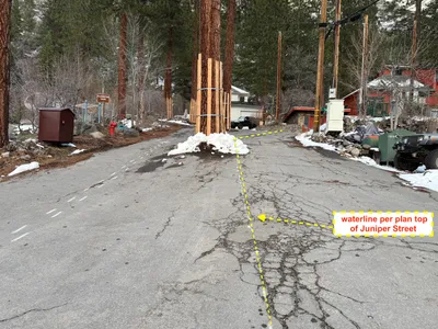
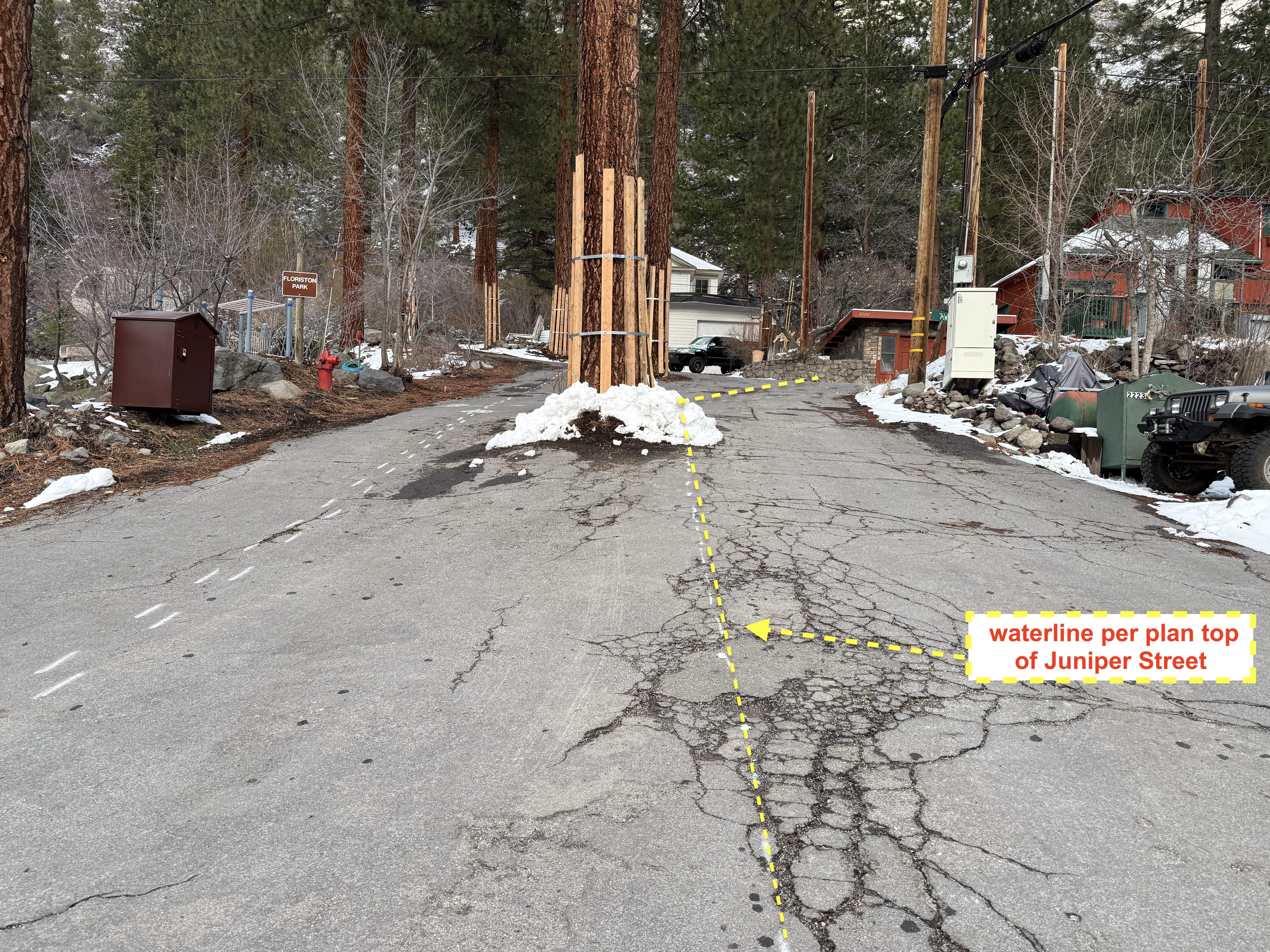
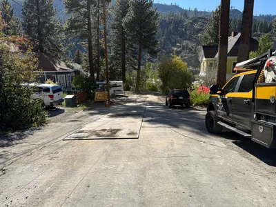
The image depicts a mostly snow-covered street where a waterline alignment is marked by dashed lines on the pavement. A pathway leads up the road shown slightly bending towards the left side. There are large trees lining the street, and a hydrant visible on the left. Snow is visible on the ground, and a vehicle can be partially seen in the background on the right.
Equipment & Materials
AI Tags
Analyzed Apr 21, 2026
Nearby Photos
2m
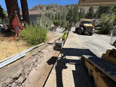
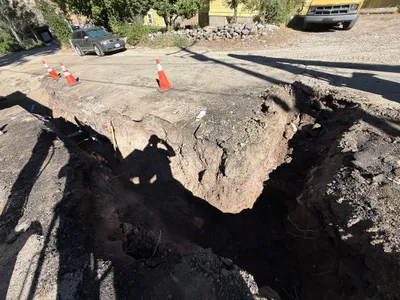
paving surface restoration
3m
paving surface restoration
3m
paving surface restoration
4m
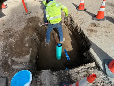
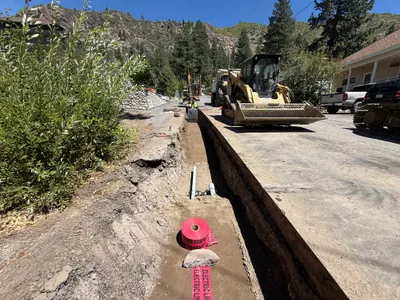
trenching
4m
trenching
5m
trenching
5m
paving surface restoration
5m
paving surface restoration
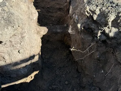
5m
trenching
5m
trenching