No caption
IMG_7036.JPG
Details
39.39477, -120.02114· 1652m
Location Context
1 / 5
USGS Topo
No elevation data
FEMA Flood
No flood data
OSM Infra
No address data
USDA Soil
No soil data
USGS Hydro
No hydro data
Show all EXIF (43 fields)
AI Analysis
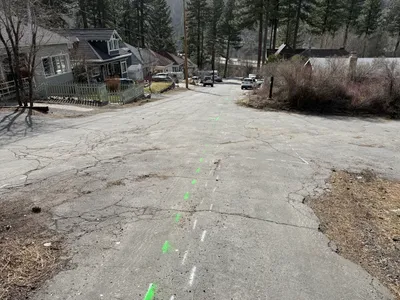
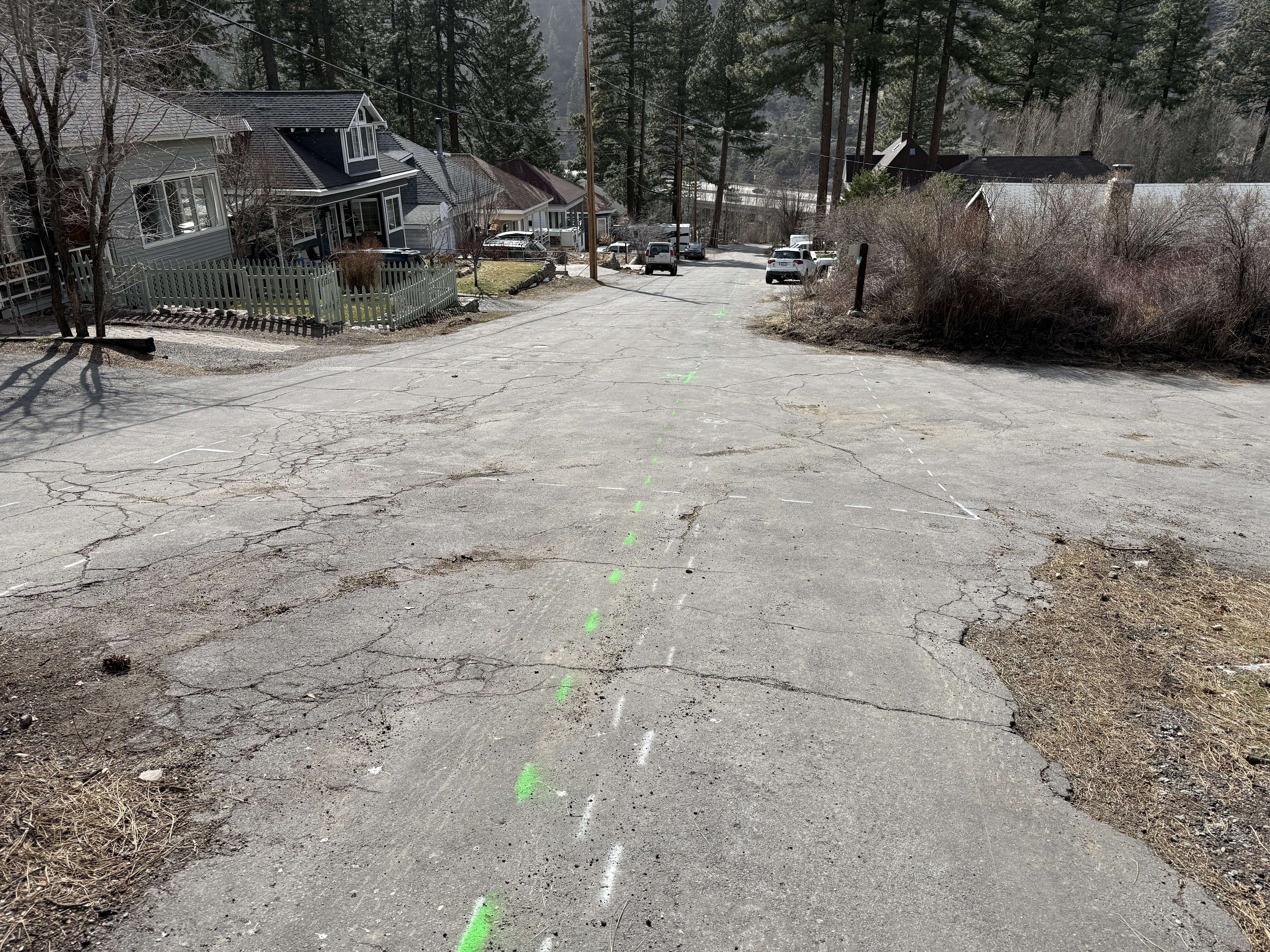
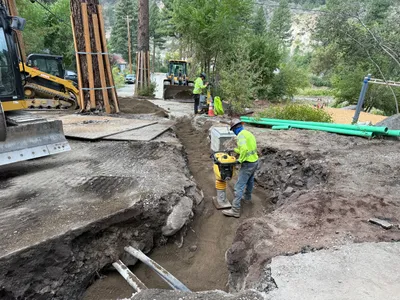
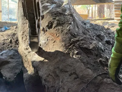
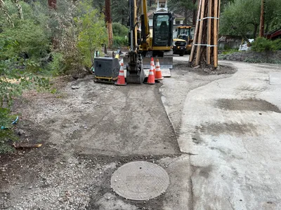
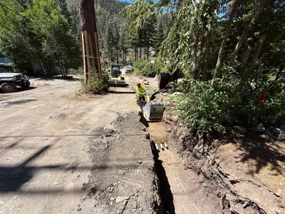
The image captures a cracked and worn road surface with prominent green and white painted lines running along its center, likely indicating a utility alignment or construction path. The lines are visible on Juniper Street, which features residential housing on the left and right sides. Several vehicles are parked along the street, and trees are visible in the background.
Equipment & Materials
AI Tags
Analyzed Apr 21, 2026
Nearby Photos
1m
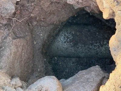
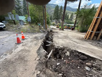
excavation
2m
trenching
2m
trenching
2m
pipeline installation
2m
trenching
3m
site grading
3m
excavation
3m
excavation
4m
other
4m
trenching