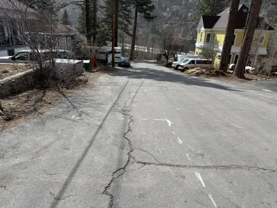
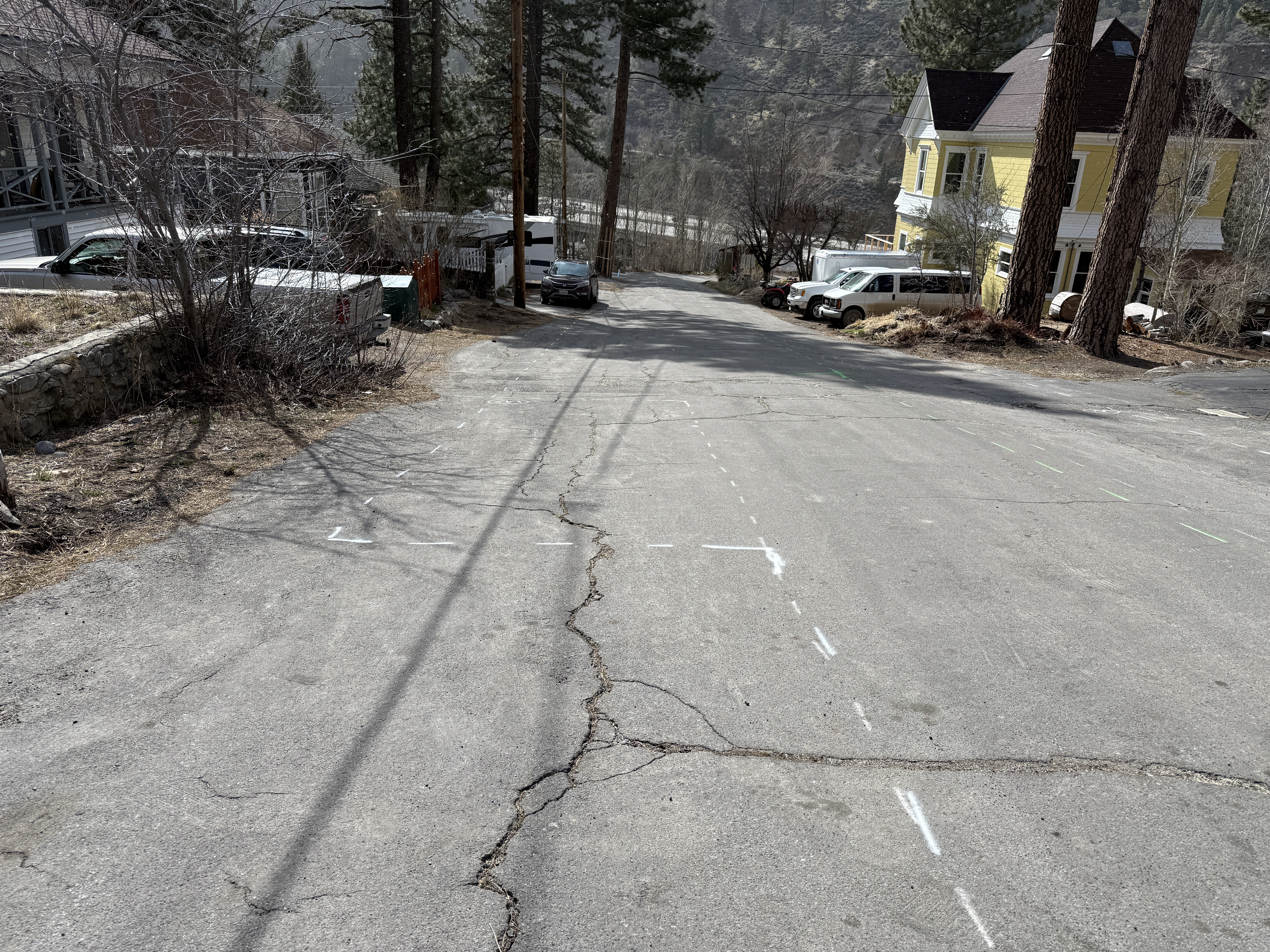
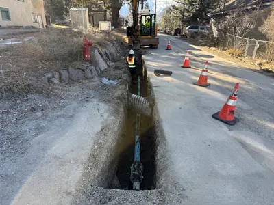
No caption
IMG_7030.JPG
Details
Monday, April 7, 2025 · 4:04 PM
39.39471, -120.02225· 1652m
Location Context
1 / 5
USGS Topo
No elevation data
FEMA Flood
No flood data
OSM Infra
No address data
USDA Soil
No soil data
USGS Hydro
No hydro data
Apple iPhone 16 Pro
iPhone 16 Pro back triple camera 6.765mm f/1.78
6.764999865652793mmf/1.7799999713880651/4167sISO 80
Flash did not fire, compulsory flash mode
Show all EXIF (43 fields)
ApertureValue1.6638
BrightnessValue9.8758
ColorSpace65535
CompositeImageGeneral Composite Image
ExifImageHeight4284
ExifVersion2.3.2
ExposureCompensation0
ExposureModeAuto
ExposureProgramNormal program
FlashpixVersion1.0
FocalLengthIn35mmFormat24
GPSDateStamp2025:04:07
GPSDestBearing257.0048
GPSDestBearingRefTrue North
GPSHPositioningError35.9172
GPSImgDirection257.0048
GPSImgDirectionRefT
GPSSpeed0
GPSSpeedRefK
GPSTimeStamp23:4:0
HostComputeriPhone 16 Pro
latitude39.3947
LensInfo2.2200, 15.6600, 1.7800, 2.8000
LensMakeApple
longitude-120.0222
MeteringModePattern
ModifyDate2025-04-07T16:04:00.000Z
OffsetTime-07:00
OffsetTimeDigitized-07:00
OffsetTimeOriginal-07:00
ResolutionUnitinches
SceneCaptureTypeStandard
SceneTypeDirectly photographed
SensingMethodOne-chip color area sensor
ShutterSpeedValue12.0247
Software18.4
SubjectArea{"0":2851,"1":2137,"2":3141,"3":1884}
SubSecTimeDigitized844
SubSecTimeOriginal844
WhiteBalanceAuto
XResolution72
YCbCrPositioning1
YResolution72
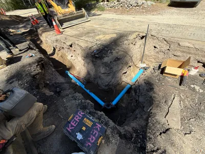
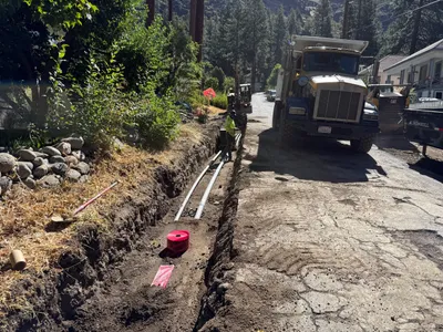
AI Analysis
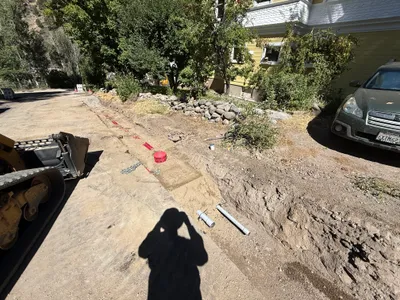
The image shows a street with white dashed lines and markings likely indicating survey or alignment points. The pavement is cracked, and several vehicles are parked along the sides. There is no active construction work or equipment visible. The area appears to be quiet and lacks immediate activity.
survey-layout
cracked asphalt pavement daylight, overcast no visible congestion or restricted access
Safety features are not visible in frame.
AI Tags
Analyzed Apr 21, 2026
Nearby Photos
1m
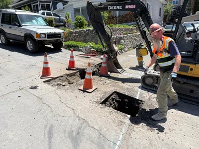
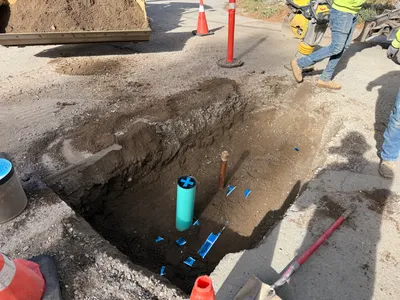
excavation
pothole-utility-locatingexcavation
excavator
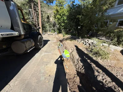
3m
trenching
trenchingutility-installation
truck
3m
trenching
trenchingpipeline-prep
shovel
3m
trenching
trenchingtrench
construction machinery
3m
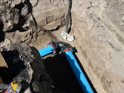
pipeline installation
pipe-fittingbolt-connection
hand-tool
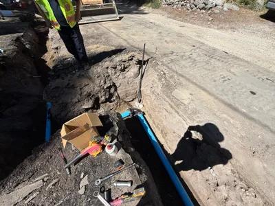
3m
trenching
trenchingpipeline-installation
wrench
4m
pipeline installation
pipeline-installationblue-pipe
excavator
4m
trenching
trenchingexcavation
excavator
4m
trenching
trenchingutility-trench
dump truck
4m
trenching
trenchingroad-work
excavator