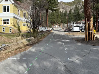

No caption
IMG_7028.JPG
Details
39.39473, -120.02270· 1637m
Location Context
1 / 5
USGS Topo
No elevation data
FEMA Flood
No flood data
OSM Infra
No address data
USDA Soil
No soil data
USGS Hydro
No hydro data
Show all EXIF (43 fields)
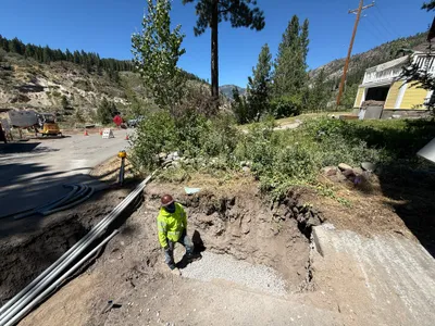
AI Analysis
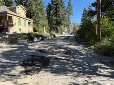
The image shows a section of Juniper Street with painted markings on the pavement, likely indicating alignment for waterline installation. A yellow house is present on the left side, and several trees line the street. There are markings in green and white on the road surface. The surrounding environment includes parked vehicles and residential structures.
Equipment & Materials
AI Tags
Analyzed Apr 21, 2026
Nearby Photos
0m
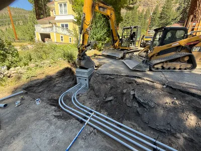
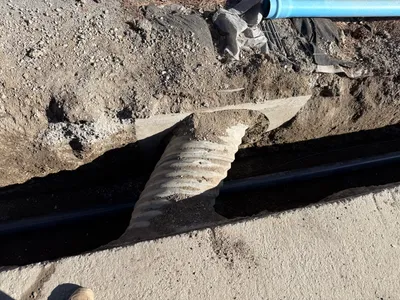
trenching
2m
other
2m
trenching
3m
trenching
3m
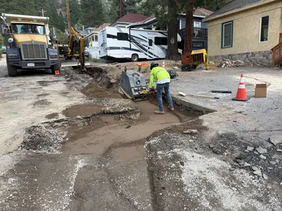
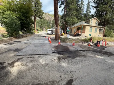
paving surface restoration
3m
paving surface restoration
3m
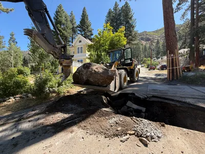
excavation
3m
trenching
3m
other
4m
site grading