
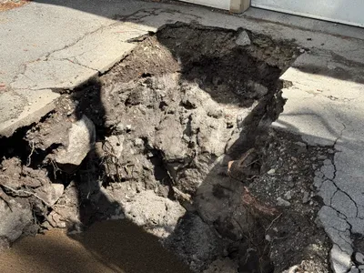
No caption
IMG_7016.JPG
Tags
Details
Monday, April 7, 2025 · 2:51 PM
39.39475, -120.02078· 1662m
Location Context
1 / 5
USGS Topo
No elevation data
FEMA Flood
No flood data
OSM Infra
No address data
USDA Soil
No soil data
USGS Hydro
No hydro data
Apple iPhone 16 Pro
iPhone 16 Pro back triple camera 2.22mm f/2.2
2.220000028611935mmf/2.21/1235sISO 50
Flash did not fire, compulsory flash mode
Show all EXIF (43 fields)
ApertureValue2.2750
BrightnessValue8.5369
ColorSpace65535
CompositeImageGeneral Composite Image
ExifImageHeight3024
ExifVersion2.3.2
ExposureCompensation0
ExposureModeAuto
ExposureProgramNormal program
FlashpixVersion1.0
FocalLengthIn35mmFormat14
GPSDateStamp2025:04:07
GPSDestBearing268.9061
GPSDestBearingRefTrue North
GPSHPositioningError4.8227
GPSImgDirection268.9061
GPSImgDirectionRefT
GPSSpeed0.1385
GPSSpeedRefK
GPSTimeStamp21:51:4
HostComputeriPhone 16 Pro
latitude39.3947
LensInfo2.2200, 15.6600, 1.7800, 2.8000
LensMakeApple
longitude-120.0208
MeteringModePattern
ModifyDate2025-04-07T14:51:05.000Z
OffsetTime-07:00
OffsetTimeDigitized-07:00
OffsetTimeOriginal-07:00
ResolutionUnitinches
SceneCaptureTypeStandard
SceneTypeDirectly photographed
SensingMethodOne-chip color area sensor
ShutterSpeedValue10.2698
Software18.4
SubjectArea{"0":2000,"1":1511,"2":2217,"3":1330}
SubSecTimeDigitized281
SubSecTimeOriginal281
WhiteBalanceAuto
XResolution72
YCbCrPositioning1
YResolution72
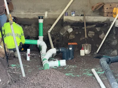
AI Analysis
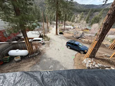
The image shows a small side street with parked vehicles and tall trees along the edges. Several large rocks align the road, and markings are present on the pavement. A white propane tank is visible to the left, near a fence. The environment appears residential with surrounding cabins and a wooded area.
other
paved with markings overcast daylight adequate road width for access
No safety features are visible in frame.
Analyzed Apr 21, 2026
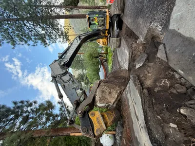
Nearby Photos
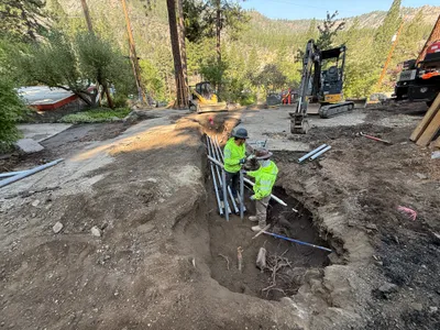
1m
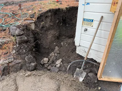
excavation
excavationdigging
shovel
1m
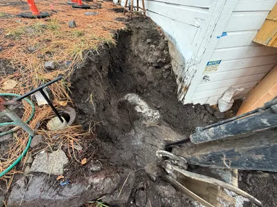
excavation
excavationutility-work
excavator
1m
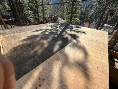
other
roof-sheathingplywood-installation
plywood
2m
excavation
excavationasphalt
asphalt
2m
trenching
conduit-installationpipe-laying
excavator
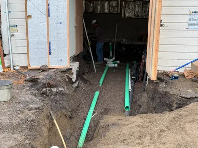
2m
trenching
trenchingpipeline-installation
shovel
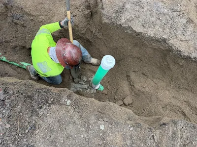
2m
trenching
trenchingdigging
shovel
3m
pipeline installation
pipe-fittingpipeline-installation
shovel
3m
trenching
trenchingconcrete-removal
excavator
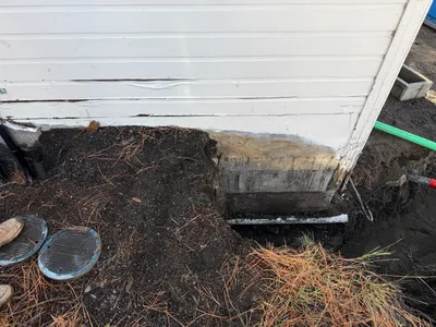
3m
excavation
foundation-excavationbuilding-siding
possible hand tools nearby