No caption
IMG_9769.JPG
Details
Wednesday, August 27, 2025 · 1:05 PM
39.39475, -120.02080· 1659m
Location Context
1 / 5
USGS Topo
No elevation data
FEMA Flood
No flood data
OSM Infra
No address data
USDA Soil
No soil data
USGS Hydro
No hydro data
Apple iPhone 16 Pro
iPhone 16 Pro back triple camera 6.765mm f/1.78
6.764999865652793mmf/1.7799999713880651/1980sISO 64
Flash did not fire, compulsory flash mode
Show all EXIF (43 fields)
ApertureValue1.6638
BrightnessValue8.6917
ColorSpace65535
CompositeImageGeneral Composite Image
ExifImageHeight3024
ExifVersion2.3.2
ExposureCompensation0
ExposureModeAuto
ExposureProgramNormal program
FlashpixVersion1.0
FocalLengthIn35mmFormat48
GPSDateStamp2025:08:27
GPSDestBearing53.7867
GPSDestBearingRefTrue North
GPSHPositioningError4.7487
GPSImgDirection53.7867
GPSImgDirectionRefT
GPSSpeed1.1842
GPSSpeedRefK
GPSTimeStamp20:5:39
HostComputeriPhone 16 Pro
latitude39.3948
LensInfo2.2200, 15.6600, 1.7800, 2.8000
LensMakeApple
longitude-120.0208
MeteringModePattern
ModifyDate2025-08-27T13:05:40.000Z
OffsetTime-07:00
OffsetTimeDigitized-07:00
OffsetTimeOriginal-07:00
ResolutionUnitinches
SceneCaptureTypeStandard
SceneTypeDirectly photographed
SensingMethodOne-chip color area sensor
ShutterSpeedValue10.9514
Software18.6.1
SubjectArea{"0":2011,"1":1508,"2":1106,"3":665}
SubSecTimeDigitized100
SubSecTimeOriginal100
WhiteBalanceAuto
XResolution72
YCbCrPositioning1
YResolution72
AI Analysis
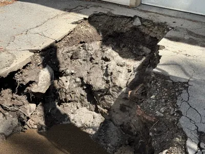
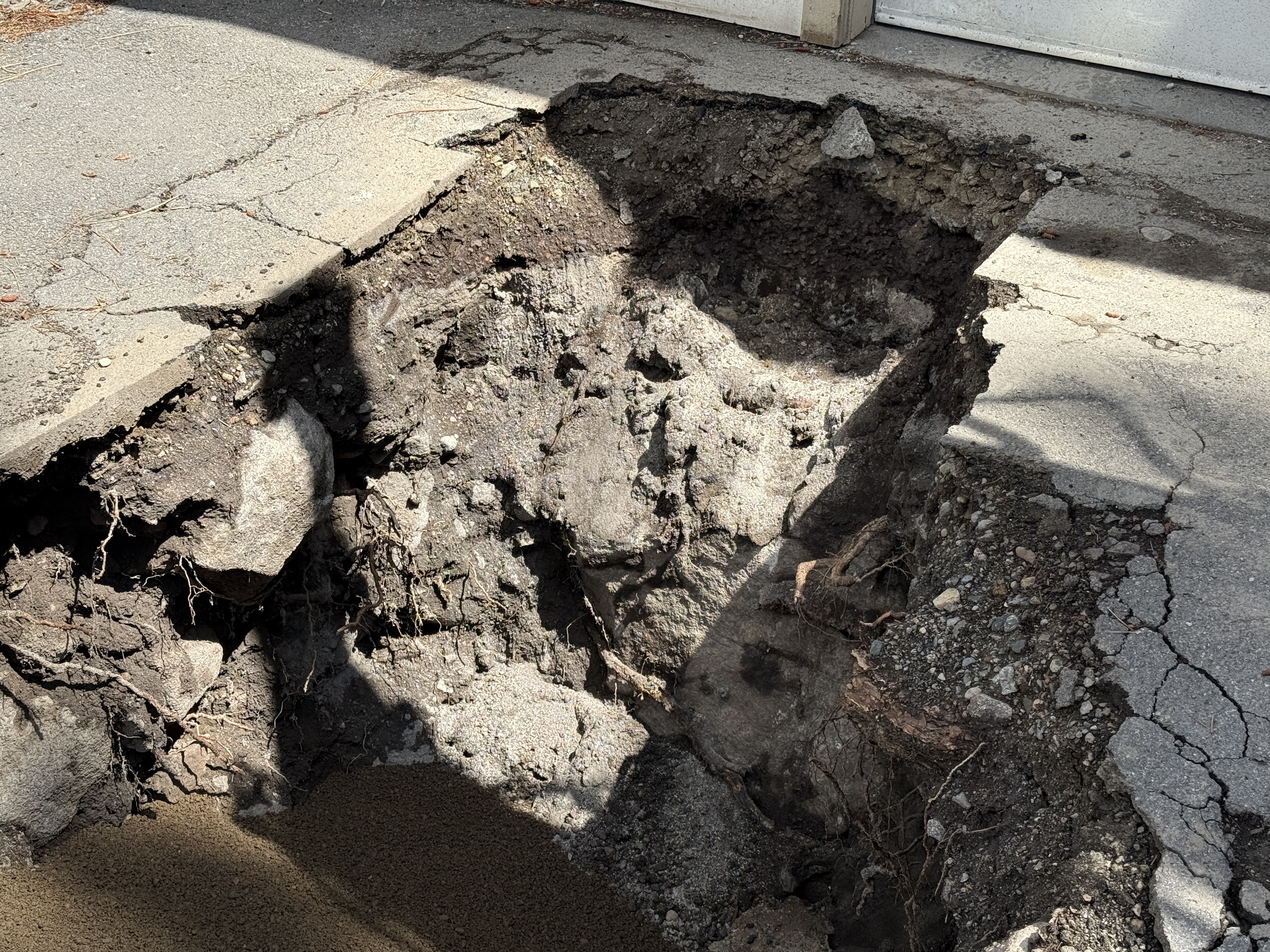
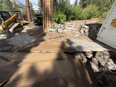
The image shows a large excavation in an area with broken pavement and exposed soil. There is significant disruption to the asphalt surface, revealing dirt and some embedded rocks beneath. The edges of the pavement are jagged, indicating a recent break or removal. No workers or equipment are visible in the frame.
excavation
broken pavement and exposed soil sunny or bright conditions direct access to excavation without visible barriers
Safety features are not visible in frame.
Analyzed Apr 21, 2026
Nearby Photos
1m
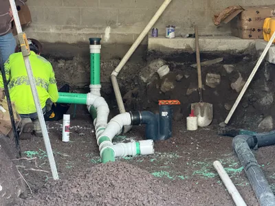
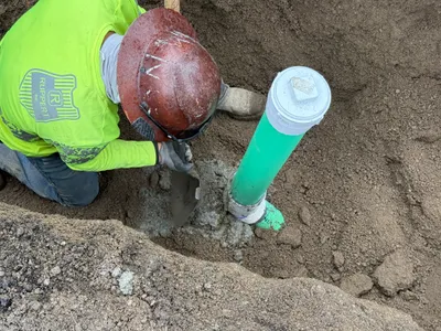
pipeline installation
pipe-fittingpipeline-installation
shovel
2m
excavation
excavationdigging
shovel
2m
pipeline installation
pipeline-installationpipe-handling
hand tool
2m
excavation
excavationpavement-repair
compact track loader
2m
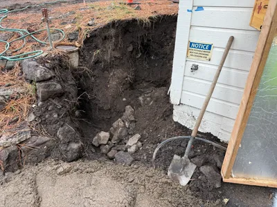
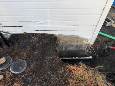
excavation
foundation-excavationbuilding-siding
possible hand tools nearby
2m
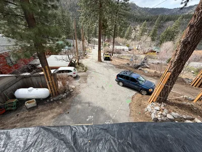
other
roadwaypropane-tank
white car
3m
trenching
trenchingdigging
shovel
3m
excavation
excavationutility-work
excavator
3m
trenching
trenchingexcavation-work
tarp
3m
trenching
excavationboulder-moving
excavator