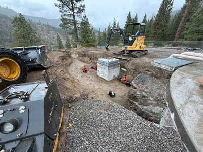
No caption
IMG_7047.JPG
Details
39.39136, -120.02112· 1683m
Location Context
1 / 5
USGS Topo
No elevation data
FEMA Flood
No flood data
OSM Infra
No address data
USDA Soil
No soil data
USGS Hydro
No hydro data
Show all EXIF (43 fields)
AI Analysis
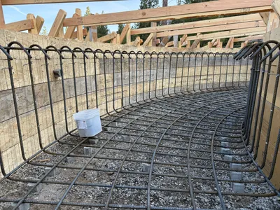
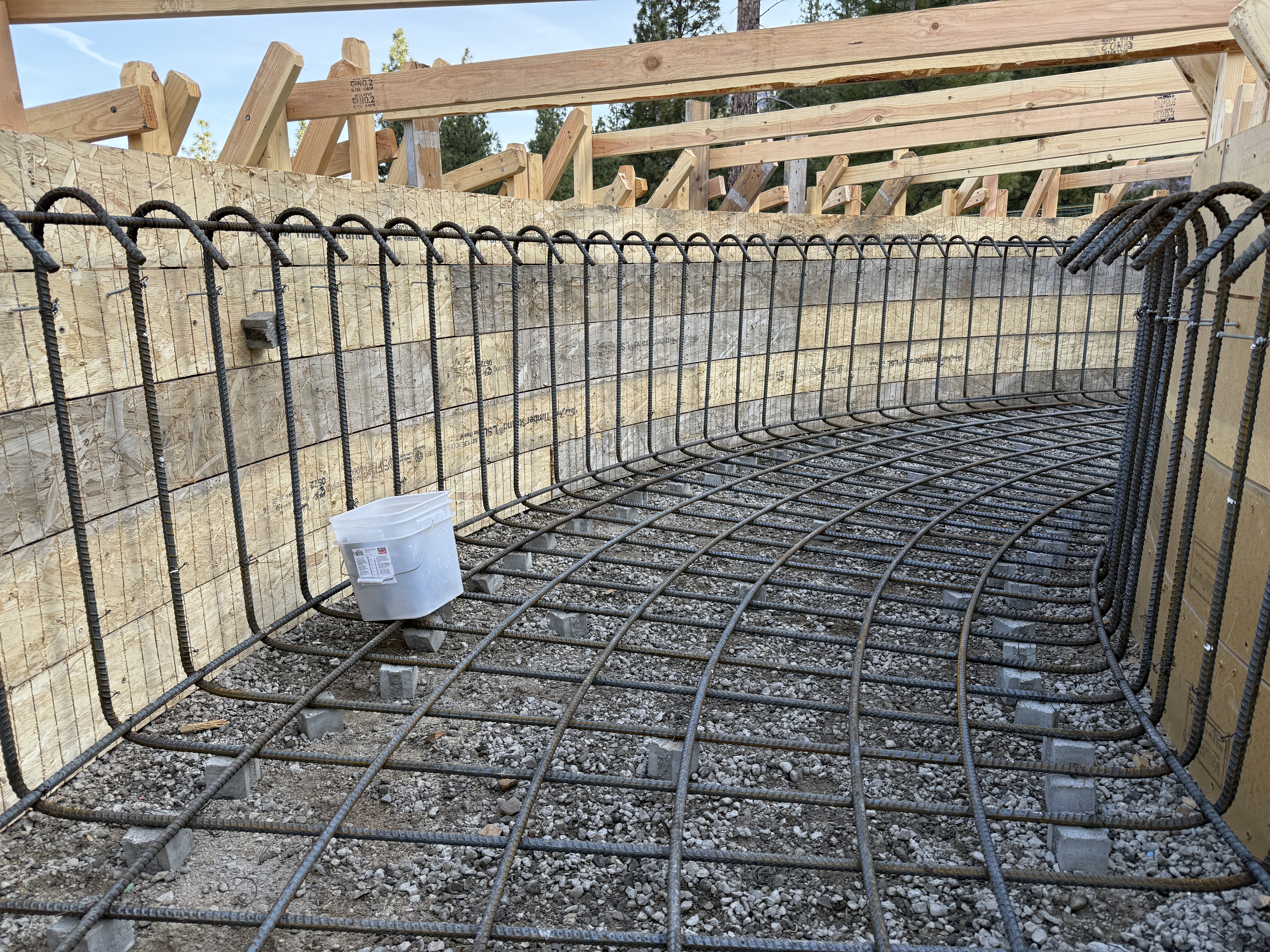
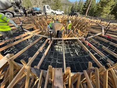
The image depicts a curved section of rebar formwork set up on a gravel foundation, forming the basis of a tank structure. Vertical and horizontal rebar grid is installed with spacers keeping them off the gravel surface. Wooden formwork is positioned on the perimeter, suggesting an upcoming concrete pour. A bucket is placed on the rebar, potentially for scale or work purposes.
AI Tags
Analyzed Apr 21, 2026
Nearby Photos
2m
site grading

3m
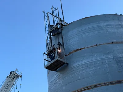
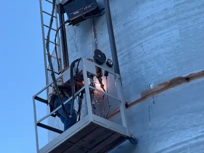
mechanical installation
3m
mechanical installation
3m
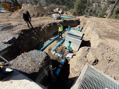
valve vault
3m
mechanical installation
3m
mechanical installation
3m
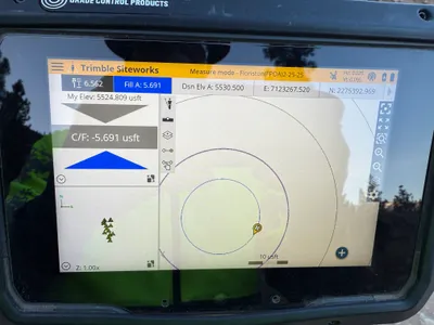
survey layout

3m
survey layout
3m
valve vault
4m
concrete work