
No caption
IMG_6516.JPG
Details
39.39138, -120.02112· 1682m
Location Context
1 / 5
USGS Topo
No elevation data
FEMA Flood
No flood data
OSM Infra
No address data
USDA Soil
No soil data
USGS Hydro
No hydro data
Show all EXIF (43 fields)
AI Analysis
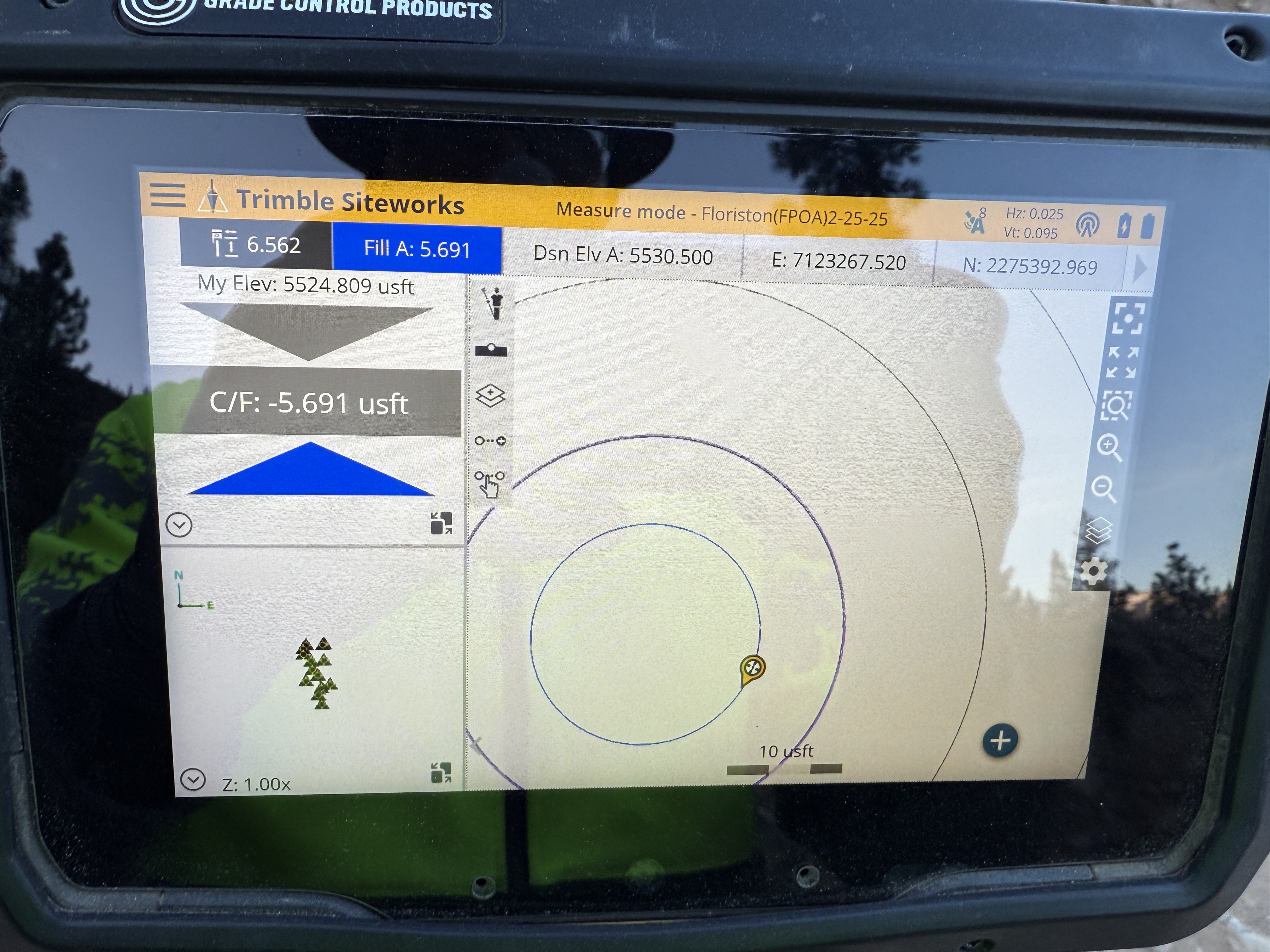
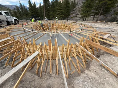
The image shows a digital interface from Trimble Siteworks software, likely used for construction surveying. The screen displays elevation information with values such as 'My Elev: 5524.809 usft' and 'Dsn Elev: 5530.500 usft'. It indicates a fill cut/fill value of -5.691 usft, suggesting current versus desired elevations. The interface is likely used to guide earthwork or grading operations.
Equipment & Materials
AI Tags
Analyzed Apr 21, 2026
Nearby Photos

0m
survey layout
2m
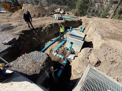
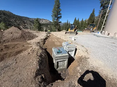
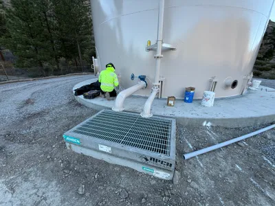
valve vault
2m
trenching
3m
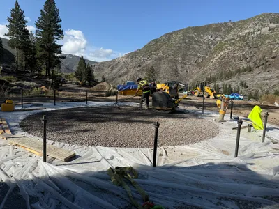
site grading
3m
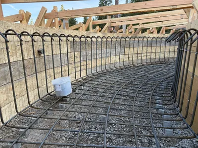
rebar formwork
3m
rebar formwork
3m
valve vault
4m
mechanical installation

4m
mechanical installation
4m
concrete work