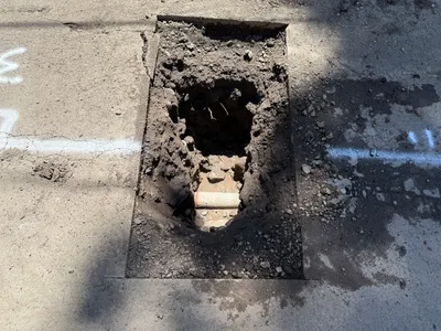
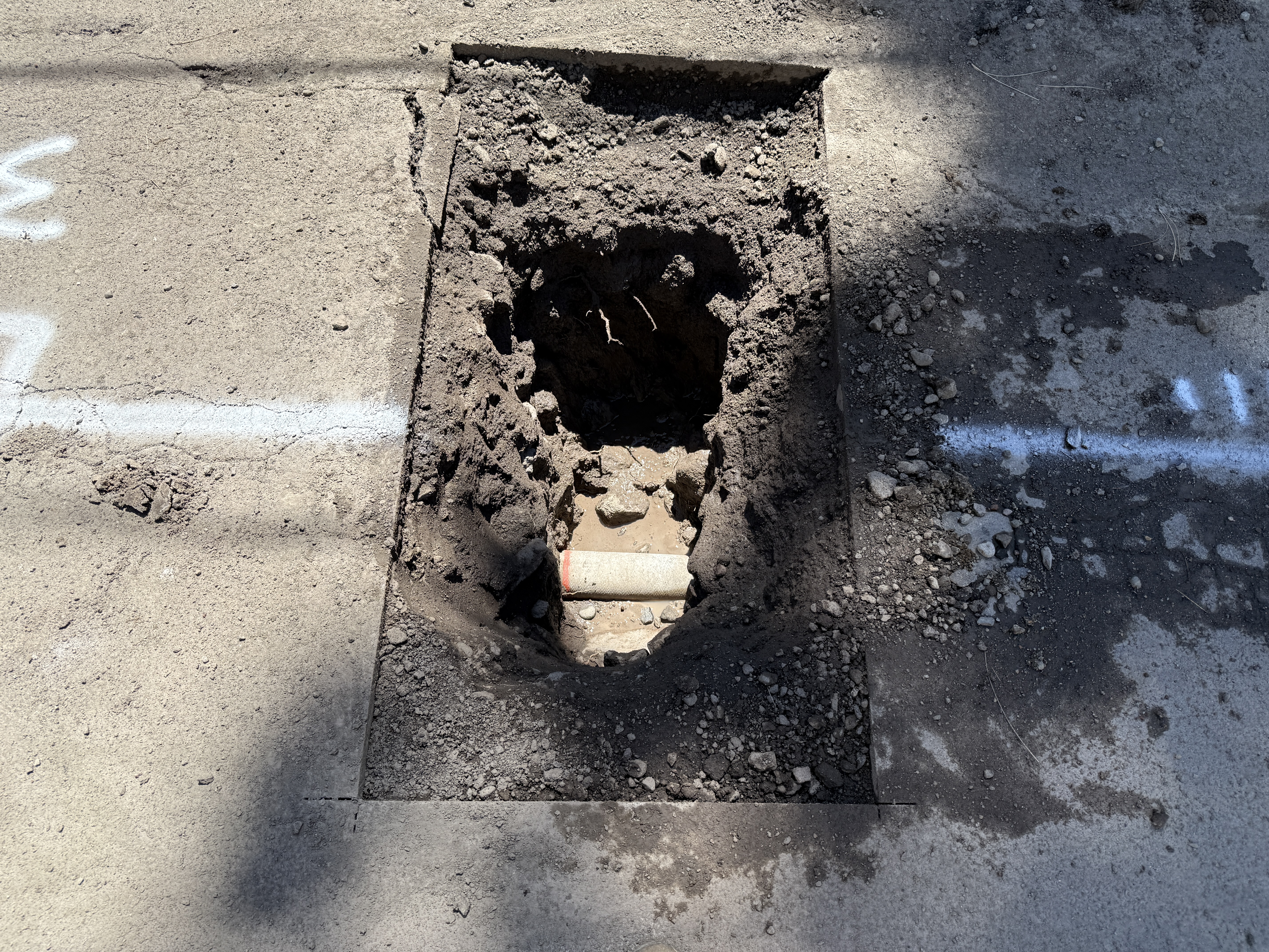
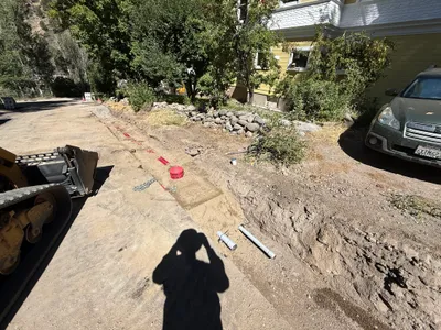
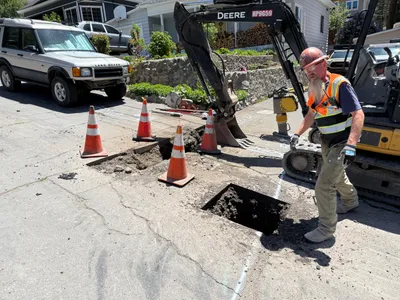
No caption
IMG_9546.JPG
Details
39.39473, -120.02229· 1640m
Location Context
1 / 5
USGS Topo
No elevation data
FEMA Flood
No flood data
OSM Infra
No address data
USDA Soil
No soil data
USGS Hydro
No hydro data
Show all EXIF (43 fields)
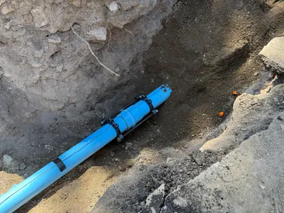
AI Analysis
The image shows a rectangular hole cut into a paved surface, which exposes soil and a section of utility line beneath. The excavation appears to be part of potholing activities to locate utilities. The hole reveals a single cylindrical component, possibly a pipe, under the surface. White markings are visible on the surface near the excavation site, likely indicating utility paths or locations.
AI Tags
Analyzed Apr 21, 2026
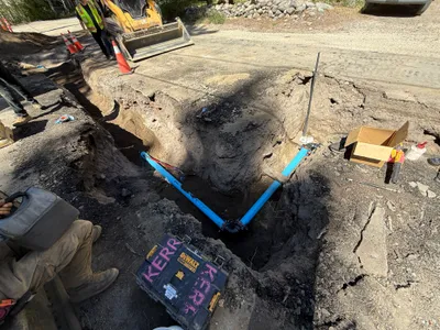
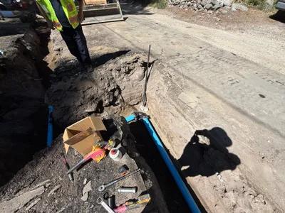
Nearby Photos
1m
pipeline installation
2m
trenching
2m
pipeline installation
2m
trenching
3m
trenching
3m
trenching
4m
excavation
4m
pipeline installation
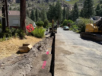
4m
trenching
4m
survey layout