No caption
IMG_8076.JPG
Details
39.39421, -120.02268· 1639m
Location Context
1 / 5
USGS Topo
No elevation data
FEMA Flood
No flood data
OSM Infra
No address data
USDA Soil
No soil data
USGS Hydro
No hydro data
Show all EXIF (43 fields)
AI Analysis
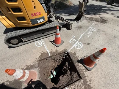
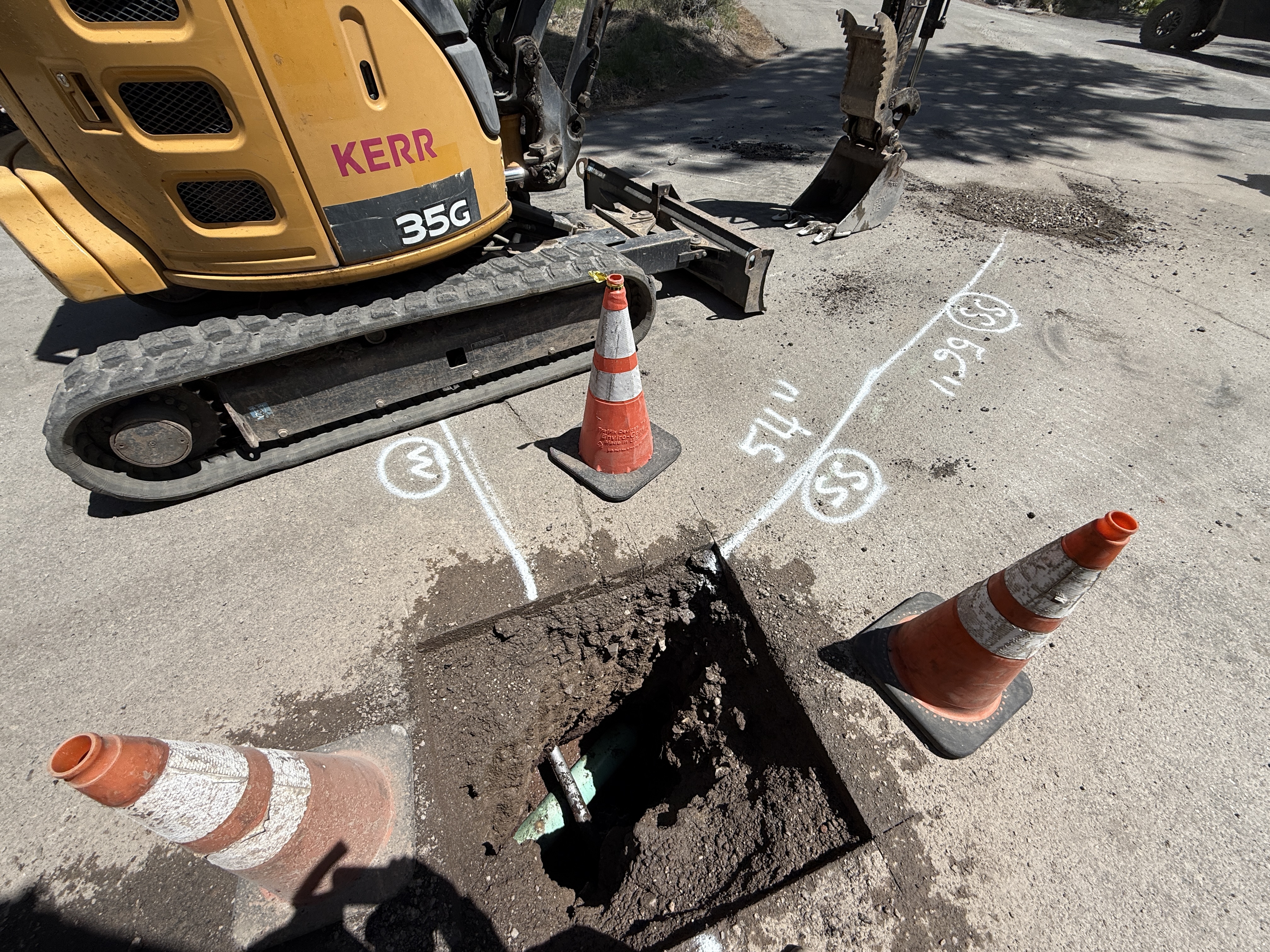
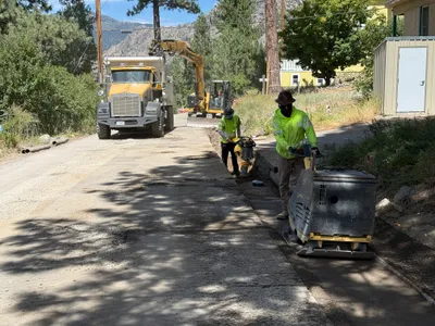
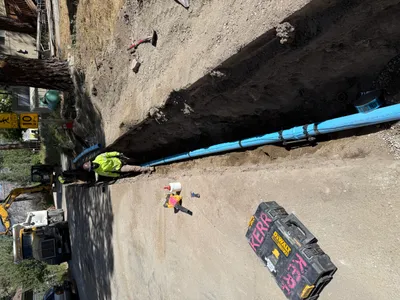
The image shows an ongoing pothole utility locating operation. An excavator with caterpillar tracks labeled 'Kerr' is parked near a small excavated hole in the pavement. Traffic cones are placed around the hole for safety, and utility markings are visible on the concrete surface indicating measurements and possible utility routes. These markings suggest the identification of subsurface utilities.
Equipment & Materials
AI Tags
Analyzed Apr 21, 2026
Nearby Photos
0m
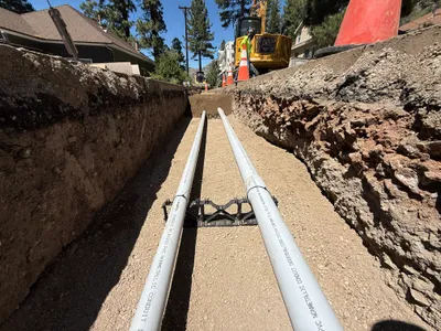
trenching
2m
pipeline installation
2m
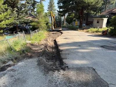
paving surface restoration
2m
trenching
2m
excavation
3m
other
3m
pipeline installation
4m
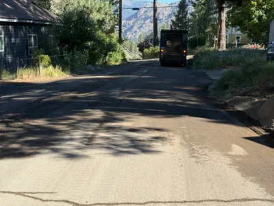
paving surface restoration
4m
trenching
5m
excavation