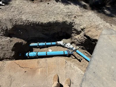
No caption
IMG_8094.JPG
Details
39.39418, -120.02265· 1646m
Location Context
1 / 5
USGS Topo
No elevation data
FEMA Flood
No flood data
OSM Infra
No address data
USDA Soil
No soil data
USGS Hydro
No hydro data
Show all EXIF (44 fields)
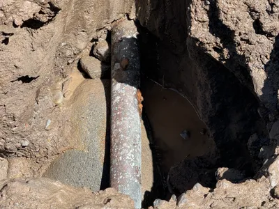
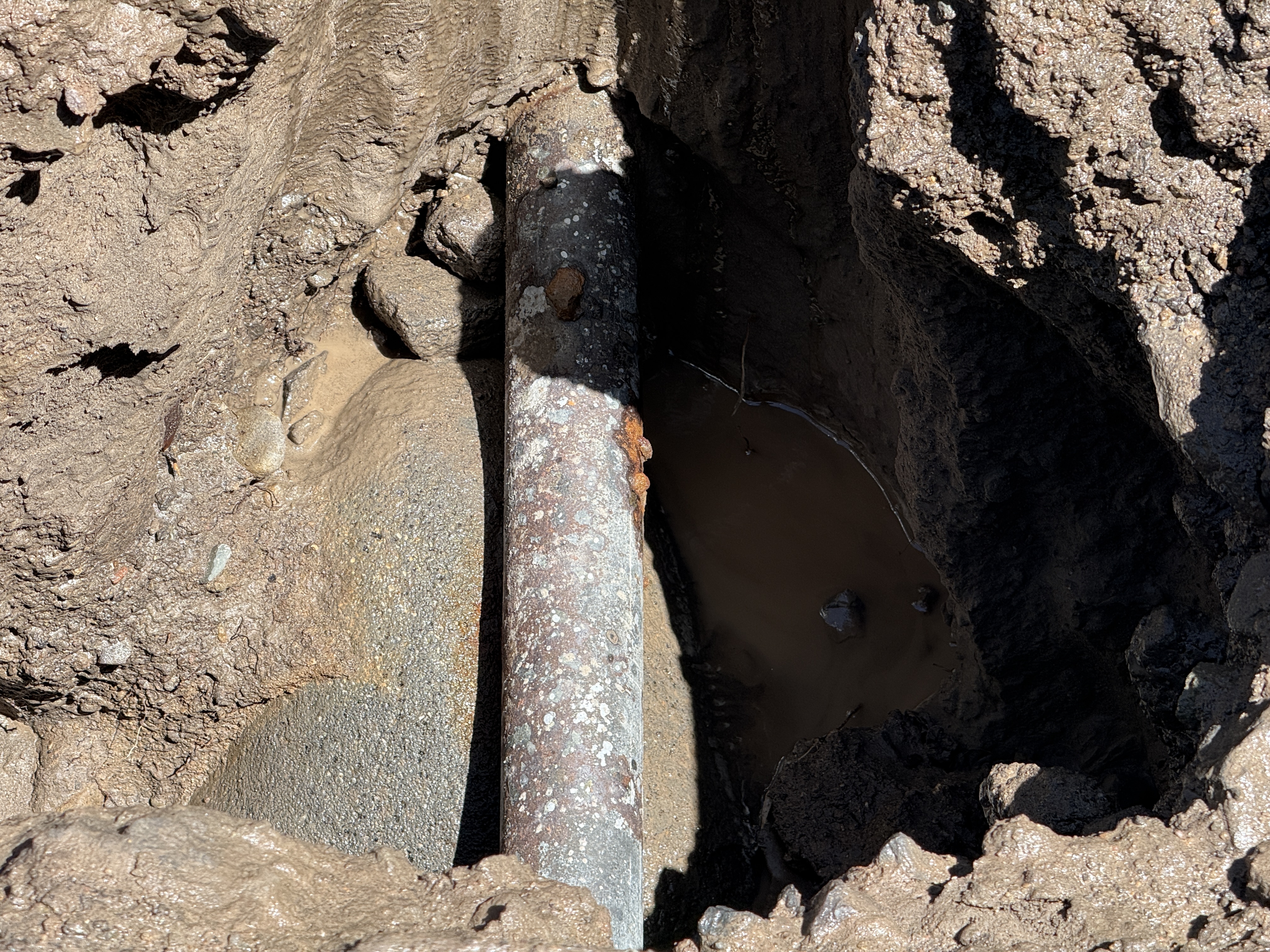
AI Analysis
The image depicts a pothole excavation revealing a pipe. The pipe is partially covered in rust and debris. It is located surrounded by muddy soil, and there's standing water near the pipe, suggesting possible drainage or leakage. The ground appears moist, indicating recent excavation or rain. No trench boxes or safety barriers are visible around the excavation site.
Equipment & Materials
Analyzed Apr 21, 2026
Nearby Photos
1m
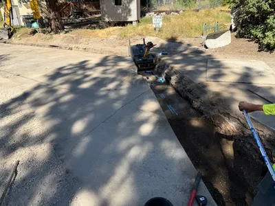
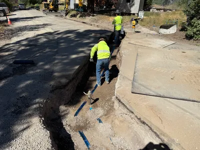
paving surface restoration
1m
other
1m
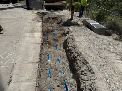
trenching
2m
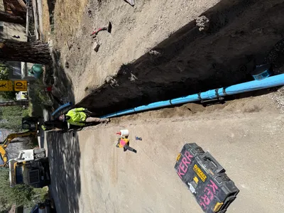
pipeline installation
2m
trenching
2m
trenching
2m
mechanical installation
2m
pipeline installation
2m
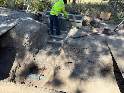
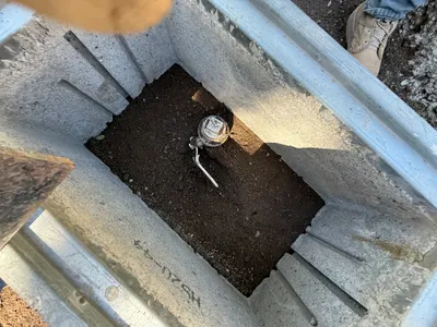
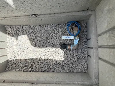
valve vault
2m
trenching