No caption
IMG_6609.JPG
Details
39.39469, -120.02164· 1649m
Location Context
1 / 5
USGS Topo
No elevation data
FEMA Flood
No flood data
OSM Infra
No address data
USDA Soil
No soil data
USGS Hydro
No hydro data
Show all EXIF (43 fields)
AI Analysis
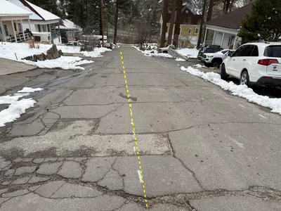
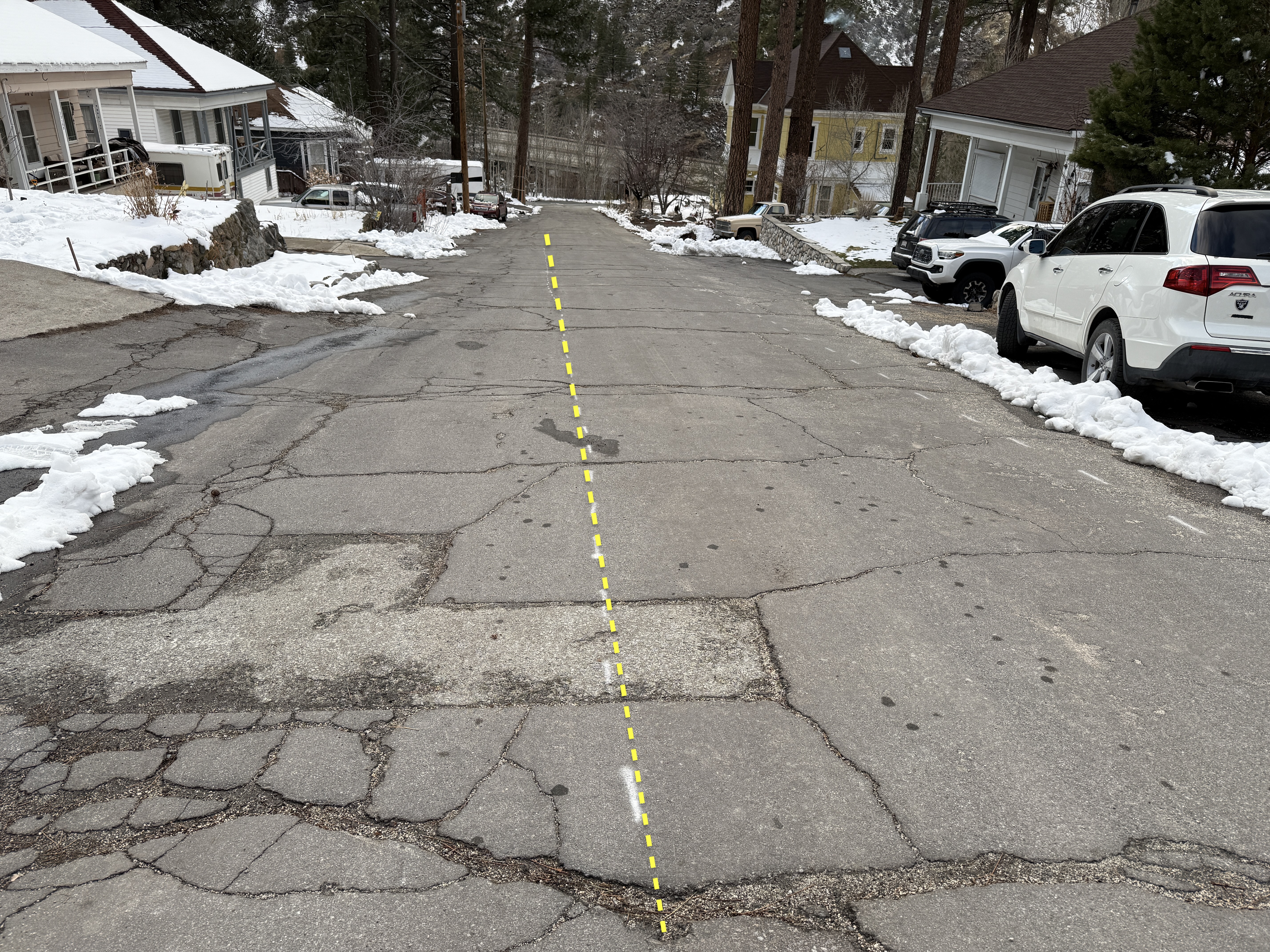
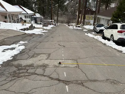
The image shows a street with a significant number of cracks and patched areas on the asphalt surface. There is snow accumulated along the edges of the road and on the sidewalks. Yellow dashed lines appear to be a digital overlay, possibly indicating the centerline or waterline alignment. Vehicles are parked along the right side of the street.
Equipment & Materials
AI Tags
Analyzed Apr 21, 2026
Nearby Photos
0m
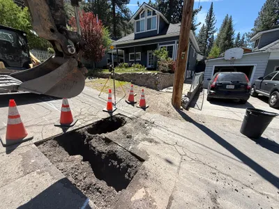
site grading
1m
excavation
1m
pothole utility locating
1m
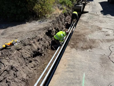
pipeline installation
2m
paving surface restoration
2m
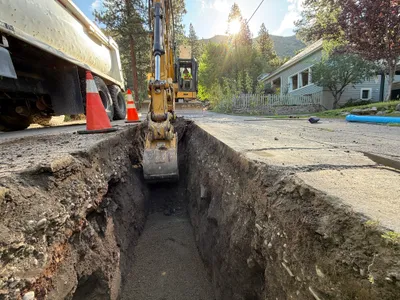
excavation
3m
excavation
3m
pipeline installation
3m
survey layout
3m
trenching