No caption
IMG_7933.JPG
Details
Wednesday, May 21, 2025 · 1:33 PM
39.39478, -120.02131· 1651m
Location Context
1 / 5
USGS Topo
No elevation data
FEMA Flood
No flood data
OSM Infra
No address data
USDA Soil
No soil data
USGS Hydro
No hydro data
Apple iPhone 16 Pro
iPhone 16 Pro back triple camera 6.765mm f/1.78
6.764999865652793mmf/1.7799999713880651/3953sISO 80
Flash did not fire, compulsory flash mode
Show all EXIF (43 fields)
ApertureValue1.6638
BrightnessValue9.7129
ColorSpace65535
CompositeImageGeneral Composite Image
ExifImageHeight4284
ExifVersion2.3.2
ExposureCompensation0
ExposureModeAuto
ExposureProgramNormal program
FlashpixVersion1.0
FocalLengthIn35mmFormat24
GPSDateStamp2025:05:21
GPSDestBearing344.2844
GPSDestBearingRefTrue North
GPSHPositioningError4.7487
GPSImgDirection344.2844
GPSImgDirectionRefT
GPSSpeed0
GPSSpeedRefK
GPSTimeStamp20:33:42
HostComputeriPhone 16 Pro
latitude39.3948
LensInfo2.2200, 15.6600, 1.7800, 2.8000
LensMakeApple
longitude-120.0213
MeteringModePattern
ModifyDate2025-05-21T13:33:43.000Z
OffsetTime-07:00
OffsetTimeDigitized-07:00
OffsetTimeOriginal-07:00
ResolutionUnitinches
SceneCaptureTypeStandard
SceneTypeDirectly photographed
SensingMethodOne-chip color area sensor
ShutterSpeedValue11.9486
Software18.5
SubjectArea{"0":2851,"1":2137,"2":3141,"3":1884}
SubSecTimeDigitized297
SubSecTimeOriginal297
WhiteBalanceAuto
XResolution72
YCbCrPositioning1
YResolution72
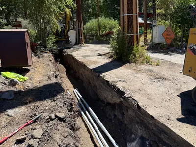
AI Analysis
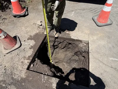
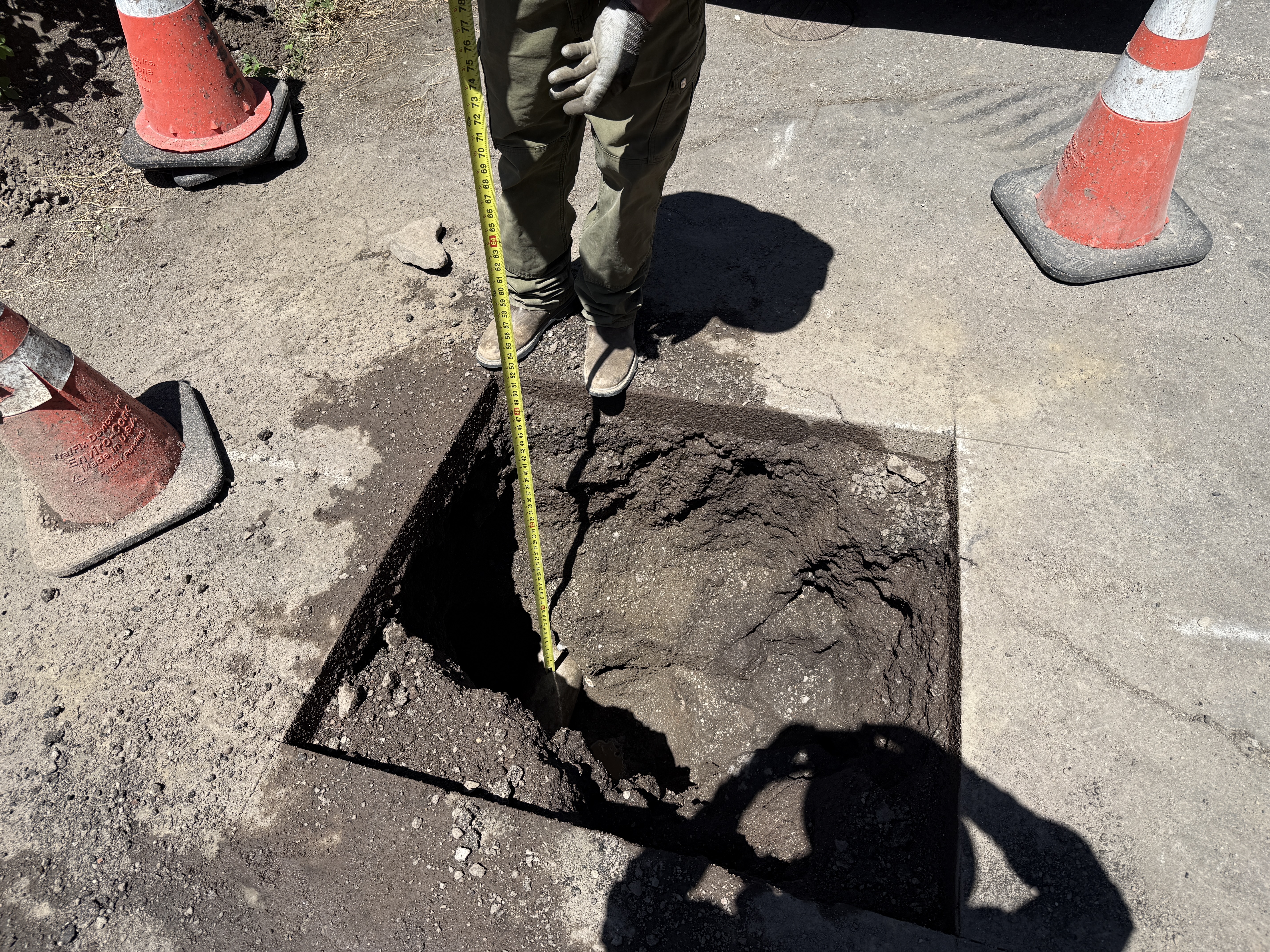
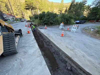
The image shows a worker using a tape measure to assess the depth of an excavation or pothole on a paved surface. Three traffic cones are placed around the area as safety markers. The worker is partially visible, wearing safety gloves. The pothole is rectangular, with loose soil evident within. The activity appears to be related to utility locating.
excavation
paved surface with exposed soil bright daylight conditions traffic cones indicate controlled access
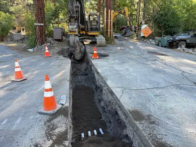
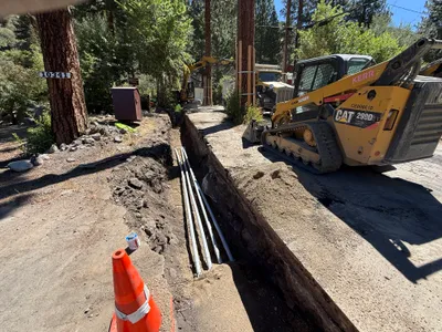
Traffic cones are visible as safety controls around the open trench.
Equipment & Materials
AI Tags
Analyzed Apr 21, 2026
Nearby Photos
1m
excavation
pothole-utility-locatingdepth-measurement
vacuum-truck
2m
excavation
excavation-depth-measurementutility-locating
measuring-tape
3m
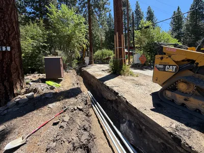
trenching
trenchingtrench
excavator
3m
trenching
road-trenchingutility-excavation
excavator
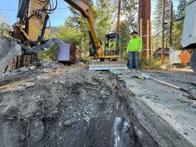
4m
excavation
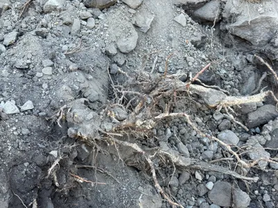
site-excavationtree-roots
4m
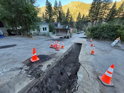
trenching
trenchingconduit-installation
tracked loader
4m
trenching
trenchingpipe-laying
excavator
4m
trenching
trenchingpipe-installation
compact-track-loader
4m
trenching
trenchingutility-work
backhoe loader
4m
trenching
trenchingexcavation
excavator