
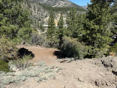
No caption
IMG_8226.JPG
Tags
Details
Thursday, June 5, 2025 · 10:40 AM
39.39160, -120.02137· 1569m
Location Context
1 / 5
USGS Topo
No elevation data
FEMA Flood
No flood data
OSM Infra
No address data
USDA Soil
No soil data
USGS Hydro
No hydro data
Apple iPhone 16 Pro
iPhone 16 Pro back triple camera 6.765mm f/1.78
6.764999865652793mmf/1.7799999713880651/5319sISO 80
Flash did not fire, compulsory flash mode
Show all EXIF (43 fields)
ApertureValue1.6638
BrightnessValue10.1200
ColorSpace65535
CompositeImageGeneral Composite Image
ExifImageHeight4284
ExifVersion2.3.2
ExposureCompensation0
ExposureModeAuto
ExposureProgramNormal program
FlashpixVersion1.0
FocalLengthIn35mmFormat24
GPSDateStamp2025:06:05
GPSDestBearing254.8069
GPSDestBearingRefTrue North
GPSHPositioningError24.0667
GPSImgDirection254.8069
GPSImgDirectionRefT
GPSSpeed0
GPSSpeedRefK
GPSTimeStamp17:40:22
HostComputeriPhone 16 Pro
latitude39.3916
LensInfo2.2200, 15.6600, 1.7800, 2.8000
LensMakeApple
longitude-120.0214
MeteringModePattern
ModifyDate2025-06-05T10:40:24.000Z
OffsetTime-07:00
OffsetTimeDigitized-07:00
OffsetTimeOriginal-07:00
ResolutionUnitinches
SceneCaptureTypeStandard
SceneTypeDirectly photographed
SensingMethodOne-chip color area sensor
ShutterSpeedValue12.3770
Software18.5
SubjectArea{"0":2851,"1":2137,"2":3141,"3":1884}
SubSecTimeDigitized016
SubSecTimeOriginal016
WhiteBalanceAuto
XResolution72
YCbCrPositioning1
YResolution72
AI Analysis
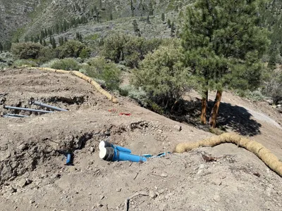
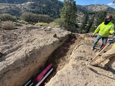
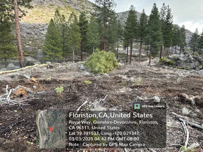
The image shows a dirt slope with erosion control measures in place, including a line of wattles. A blue pipe is laid on the ground next to an open area with additional piping emerging from the soil. A tree is present near the center of the slope.
swppp-erosion-control
uneven dirt and gravel slope clear daylight conditions open access with no visible congestion
Safety features are not visible in frame.
Equipment & Materials
Analyzed Apr 21, 2026
Nearby Photos
4m
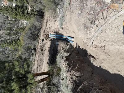
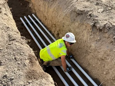
pipeline installation
pipe-installationtrenching
blue-pipes
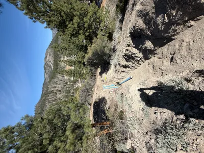
4m
trenching
trenchingpipeline-installation
blue pipeline
7m
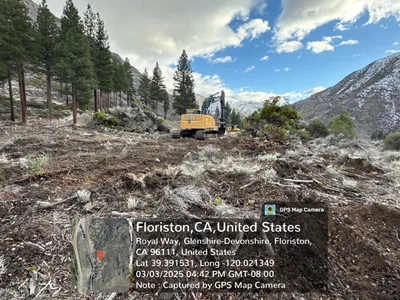
site grading
site-gradingwooden-braces
soil
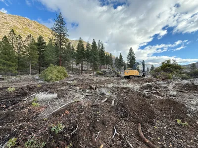
8m
site grading
site-clearingdirt
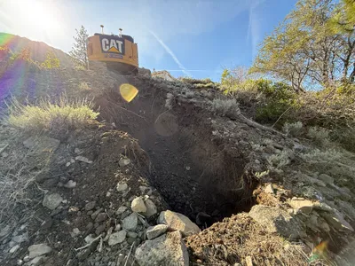
8m
excavation
slope-excavationearthmoving
tracked excavator
8m
site grading
excavationsite-clearing
excavator
8m
trenching
trenchingconduit-installation
shovels
8m
site grading
site-gradingland-clearing
excavator
8m
electrical
conduit-installationtrenching
conduit-pipes
8m
excavation
excavationsite-clearing
excavator